This AI weather model helped predict 2025’s huge hurricanes

Forecasters tracking tropical cyclones around the world have gotten a huge boost from Google DeepMind
We saw three scale-topping Category 5 hurricanes roar across the Atlantic Ocean in 2025, one of which ranked among the strongest hurricane landfalls ever observed.
Hurricane forecasts performed exceptionally well throughout the season, a recent analysis from the U.S. National Hurricane Center (NHC) found. One key player in the success of those forecasts was a new model on the block, one powered by AI technology.
DON’T MISS: What does a hurricane's ‘cone of uncertainty’ mean?
Weather models help guide the forecast
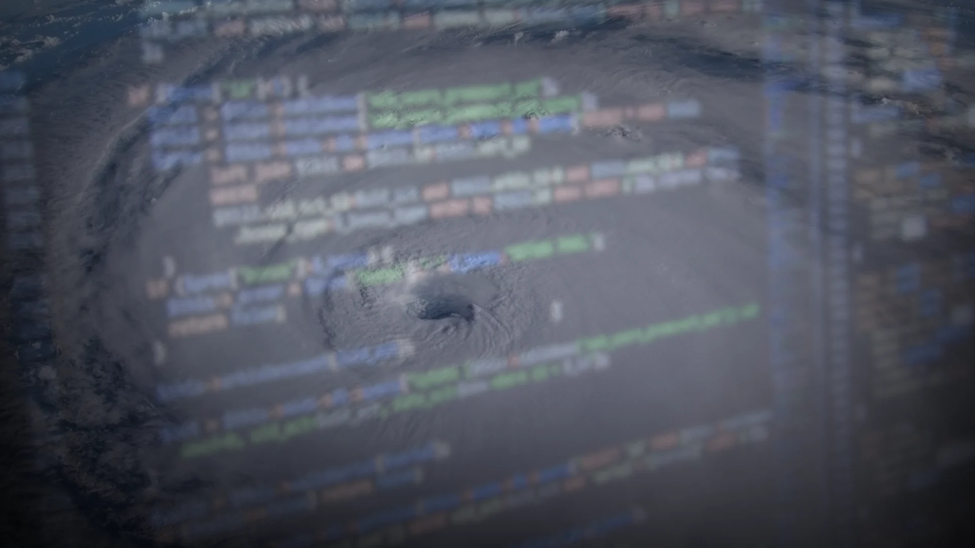
Weather models are complex computer programs that help forecasters predict what will happen in the coming hours and days.

We often refer to computer models as “guidance” for a reason. Meteorologists rely on years of education and experience to craft their predictions, only using models as a guide to arrive at their forecasts.
No weather model gets it right 100 per cent of the time. Each one has its own biases and shortcomings that a skilled forecaster has to take into account. But some are better than others.
Google’s AI-powered models performed very well in 2025
One new addition to the toolbox is called Google DeepMind (GDMI), a suite of AI-powered weather models introduced in June 2025. This new tool showed significant promise in real-time use during the busy 2025 Atlantic hurricane season.

Experts with the NHC recently released their seasonal forecast verification, objectively measuring their intensity and track forecasts against how each tropical storm and hurricane actually unfolded.
They made an impressive discovery.
Across the Atlantic basin, the agency says that the GDMI “slightly outperformed” the NHC’s track forecasts between 12 and 72 hours, and that the AI-powered model had comparable skill to the NHC’s official intensity forecasts.
RELATED: AI & machine learning are improving weather forecasts, but won’t replace humans

Over in the eastern Pacific basin, the NHC stated that “GDMI performed considerably better than all of the other individual models and beat the official forecast and all of the consensus aids” between forecast periods of 48 hours and 120 hours.
Skeptics of AI can rest assured that human forecasters aren’t going anywhere anytime soon. But what could this improvement mean in practical terms?
This new model, and possibly others in development like it, could help to improve forecasts even further heading into the future. Better forecasts may mean more time for communities in harm’s way to prepare for and evacuate ahead of hazardous conditions.
Cone of uncertainty shrinks for 2026
We see the results of improved track forecasts without realizing it every time we look at a hurricane prediction map.

The cone of uncertainty drawn on almost every forecast map is the historical margin of error in track forecasts over the past five years. When forecasts are better, uncertainty tends to shrink.
We’ll see a smaller cone during the 2026 Atlantic hurricane season as a result of improved forecasts in recent years.
Header image created using graphics and imagery from Canva.