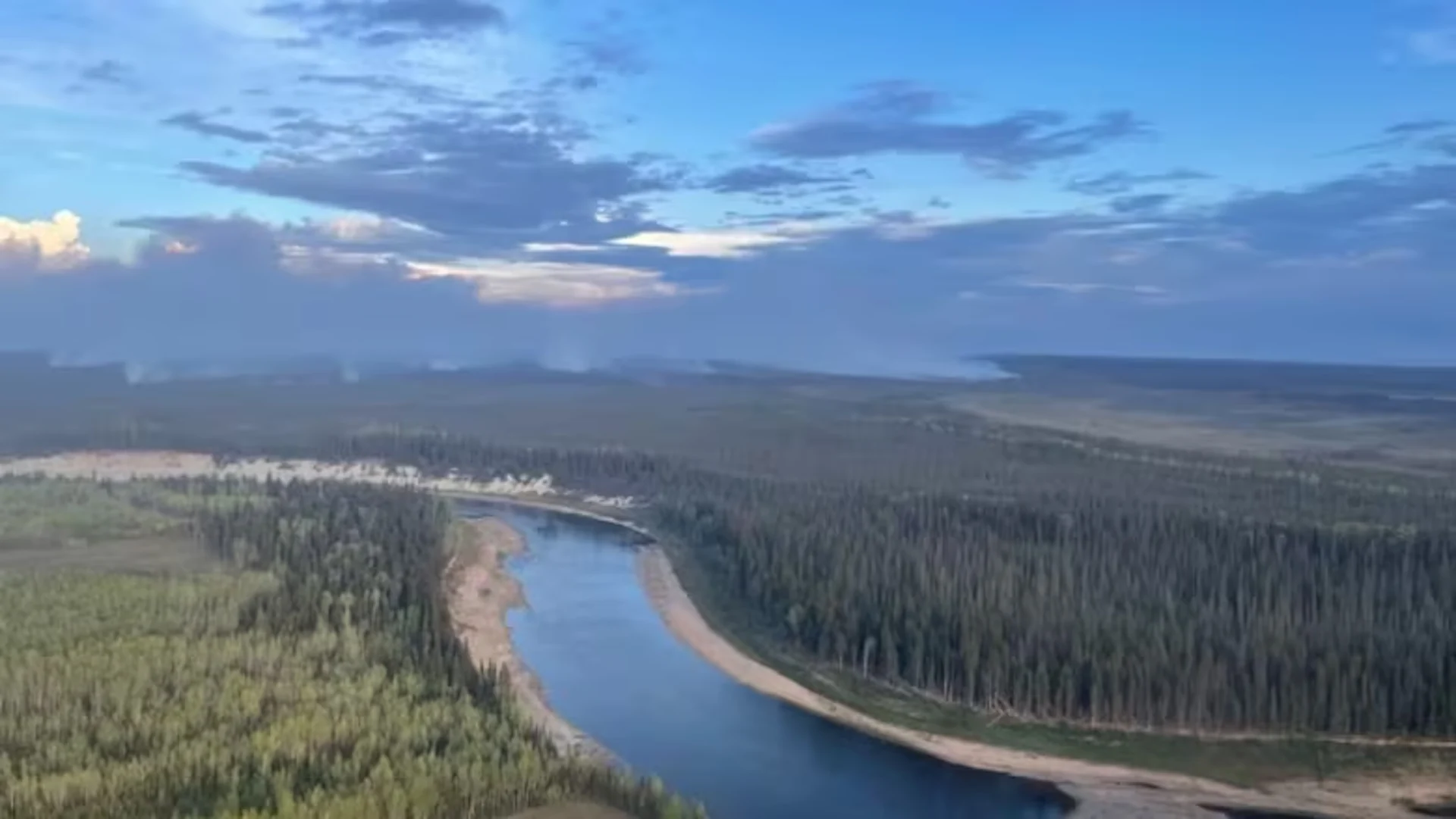
'Significant rain' in Hay River, N.W.T., expected to briefly calm fire activity
Visit The Weather Network's wildfire hub to keep up with the latest on the unprecedented wildfire season across Canada.
Significant rainfall and favourable winds are expected to reduce the fire risk around Hay River, N.W.T. for the next few days.
After two days of gusting winds and heat that whipped up the wildfire burning around the community, rain began to fall in Hay River Saturday night.
RELATED: Hay River, Fort Smith still safe after 'extremely challenging' day: Officials
N.W.T. Fire said Sunday around 11 a.m. that about 17 millimetres of rain had fallen. The town expects between 20 and 30 millimetres in total.

Estimated fire perimeters in the Northwest Territories on September 3, 2023. (CBC/Natural Resources Canada)
That will help keep fire activity down for the next couple days, but N.W.T. Fire added Hay River is still under an extreme drought and "that there is fire burning deep in the ground."
"Today is the only rain in the forecast for a long period of time and clearing and warming is expected throughout the week," the update reads.
There were no new confirmed structure losses Saturday, the update reads.
But N.W.T. Fire says because of the fire's proximity to Hay River and West Point First Nation, the risk remains significant.
The fire spread between three and five kilometres to the east Saturday, nearing the highway and pushing into Wood Buffalo National Park.
It is currently one kilometre west of Hay River's airport and 500 metres west of the industrial area.
This article, written by Luke Carroll, was originally published by CBC News on September 3, 2023.