State of emergency in parts of Manitoulin with flood alerts around NE Ontario
Ontario Provincial Police say several communities on Manitoulin Island have declared a state of emergency, including the Township of Assiginack, the Township of Billings, the Municipality of Central Manitoulin, the Municipality of Gordon/Barrie Island and Tehkummah Township.
Municipality of Central Manitoulin on social media is asking volunteers to help fill sandbags.
According to Ontario 511, several roads are closed in northeastern Ontario due to flooding, including Highway 546 north of Iron Bridge, Highways 810 and 553 north of Massey, Secord Road South, south of Sudbury, Elbow Ridge Road and Elbow Lake Road in Burwash, Nepewassi Lake Road in Estaire, Highway 533 between Mattawa and Highway 63 and Highway 630 between Kiosk Highway and Adams Road.
The Ministry of Natural Resources and local conservation authorities have issued flood warnings or watches for several areas, including flood warnings for Sault Ste. Marie, Blind River, Sudbury, North Bay and Mattawa.
Other areas in the region, including the Far North, have a flood outlook advisory in place. The Timmins and Kirkland Lake areas are under a water safety statement.
FORECAST: Severe thunderstorm risk persists in Ontario after 2026’s first tornado warning

This online flood map of Ontario, available through the provincial Flood Forecasting and Warning Program, shows a large part of northeastern Ontario remains under a flood warning (marked in red), meaning flooding is considered imminent or is already happening. (Ontario Flood Forecasting and Warning Program) (Province of Ontario)
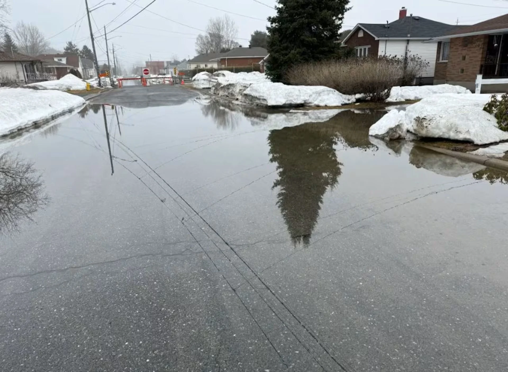
On Manitoulin Island, several communities remain under a State of Emergency due to flooding, and communities elsewhere across northeastern Ontario are coping with rising water levels as a large part of the region remains under a flood warning or watch.
The advisories have been put in place by the Ministry of Natural Resources and local conservation authorities.
On Tuesday, Conservation Sudbury issued a flood warning for all watercourses and major rivers in Greater Sudbury.
"Residents living in all flood prone areas should prepare accordingly," the warning said.

Conservation Sudbury general manager Carl Jorgensen said a significant winter storm in March added to the snowpack in the region.
"Compared to the past, we're at about double the amount of water equivalent that's locked up in that snowpack that's now melting," he said.
He added that many of the headwaters for the river systems that run through the city are to the north, where the snow hasn't melted as rapidly.
Jorgensen said he expects flooding in Greater Sudbury this week to surpass high water levels from 2023.
"We're seeing water levels continuing to rise," he said.
Environment Canada is predicting temperatures above freezing for several areas in the region in the coming days.
“Conservation Sudbury remains in direct contact with the City of Greater Sudbury and all other partners as required,” the authority stated.
“Staff continue to monitor water levels and updates will be provided when needed.”

Flooding on Fisher Street forced some businesses to close in North Bay on April 14, 2026. (ngela Mills/North Bay-Mattawa Conservation Authority)
Mall parking lot under water in North Bay
In North Bay, parts of Fisher Street — one of the city’s main arterial roads — were completely submerged yesterday.
The Northgate Shopping Centre’s parking lot was also underwater, drawing lots of attention online as people were pictured canoeing around vehicles and streetlights.
RELATED: Minden, Ont., declares state of emergency after massive flooding
“It did cause some significant disruptions,” said Donna Backer, the CEO with the North Bay and District Chamber of Commerce. “When floods happen, it disrupts business because people can’t get there.”
“This was one of the worst it’s been.”
But today, many of the businesses that were forced to close on Tuesday have reopened again as most of the previously flooded streets are now clear.
“Traffic seems to be flowing again,” Backer said. “I drove on Fisher Street today, and while it looks like there’s some debris on the road — it is open.”
The City of North Bay said rain is in the forecast over the coming days and that city staff will continue to monitor conditions in the community.
“Residents with concerns about their properties are encouraged to take precautionary steps to protect their homes, including checking sump pumps, clearing drains, and moving valuables to higher ground,” a city release said.
WATCH: The dangers of flash floods and washouts
Thumbnail courtesy of Jonathan Migneault/CBC.
This article was originally written by Martha Dillman, Jonathan Migneault, Alex Flood and published for CBC News.