Powerful, dangerous Hurricane Erin could generate 100-foot waves
Hurricane Erin is a massive, dangerous storm, threatening to bring hazardous surf and rip currents this week to the North America coastline. The largest, individual wave could possibly top 30 metres (100 feet)--the size of a 10-storey building.
With all eyes on the track of Hurricane Erin and ultimately where it tracks, the dangerous storm's monster waves threaten the east coast of North America this week.
DON'T MISS: An inside look at Hurricane Erin’s astounding rise to Category 5

Erin’s ocean fury
Hurricane Erin, a Category 4 storm with sustained winds more 220 km/h, is churning the Atlantic Ocean into wave chaos).
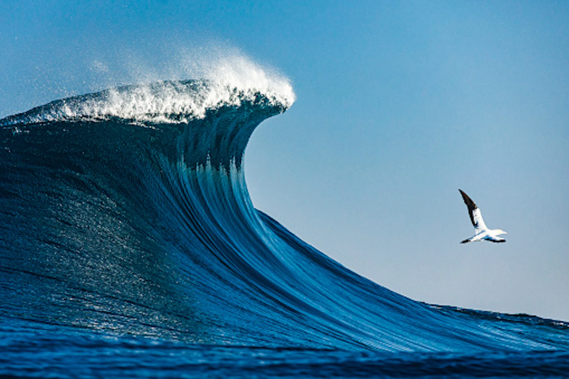
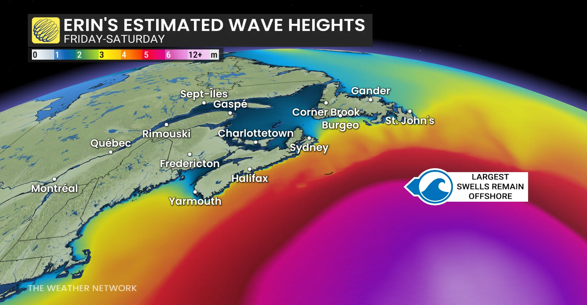
Wave forecast models show significant wave heights exceeding 15 metres (50 feet), with the largest, individual wave possibly topping 30 metres (100 feet). That’s the size of a 10-storey building.
Coastlines won’t see waves nearly this high, but the storm's massive footprint means the U.S. East Coast, and even parts of Atlantic Canada, will still feel its power through dangerous surf, minor coastal flooding, and possible erosion.
How hurricanes generate monster waves
Hurricanes are nature’s ultimate wave machines, and it all comes down to the wind field.
Hurricane-force winds greater than 119 km/h: Extend outward up to 130 km from the centre
Tropical-storm-force winds greater than 63 km/h: Extend outward up to 370 km from the centre
The three key ingredients
Wind speed: Erin’s 220 km/h winds transfer energy into the ocean surface.
Fetch: This is the distance over which strong winds blow. Erin’s wind field is nearly 740 kilometres wide, or about the stretch from Toronto, Ont., to Quebec City, Que. The bigger the fetch, the more room waves have to grow.

Duration and long-period swells: Because Erin has been churning for days, the waves it builds don’t just get taller, they get longer and more organized. These long-period swells travel in smooth, powerful sets that can cross entire ocean basins and strike coastlines thousands of kilometres away.
Fetch is the room waves need to grow. Long-period swells are the end product.
The coastal threats
Even with no landfall, Erin’s energy will lash the coastlines.
Dangerous surf: The Outer Banks (North Carolina), Long Island, Cape Cod, Nova Scotia and Newfoundland are most exposed.
Rip currents: Narrow, fast-moving channels of water that pull swimmers out to sea. They’re hidden, but act like deadly rivers that make swimming extremely hazardous

Erosion and flooding: Repeated impact from large swells strips away beaches, swamps roads, and undercuts dunes, especially in North Carolina’s Outer Banks.
Hurricane Erin shows that a storm doesn’t need to make landfall to be deadly. Its monster waves will deliver dangerous surf and powerful rip currents to much of the east coast of North America this week.
Thumbnail courtesy of Getty Images/Philip Thurston/1299226889-170667a.
With files from Tyler Hamilton, a meteorologist at The Weather Network.