Powerful cold front whips up intense Tehuantepecer winds

The high winds are dangerous to small vessels trying to traverse the region
A growing nor’easter aiming for Atlantic Canada is influencing the weather thousands of kilometres away.
The East Coast’s developing storm brought a rare bout of snow to Florida early Sunday morning.
Not only that, but the system’s far-flung influence is producing a Tehuantepecer in southern Mexico.
DON’T MISS: Canada’s cold air brings Mexico some of Earth’s most violent winds
Powerful winds blowing through southern Mexico
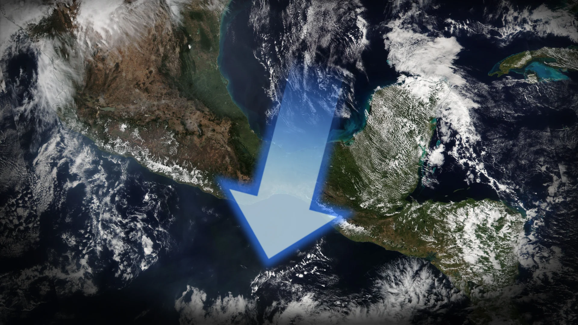
A Tehuantepecer is a powerful wind that forms around the city of Tehuantepec, Mexico.

Cold winds blowing across the Gulf of Mexico pool up against the rugged mountains of Mexico because the air is too dense to rise up and over their tall ridges.
The terrain of southern Mexico narrows into the Isthmus of Tehuantepec. This strip of land contains a small gap in the mountains through which winds can freely blow from the Gulf of Mexico toward the Pacific Ocean.

Winds speed up considerably as they press through the tiny mountain gap, roaring over the Pacific coastline at speeds of more than 100 km/h at times.
Intense winds and waves expected into early this week
A cold front attached to Atlantic Canada’s budding nor’easter will press against Mexico’s mountains and create a classic Tehuantepecer event into early this week.
This latest Tehuantepecer will peak overnight Sunday into the day Monday, with high winds blasting across the Pacific Ocean in gusts as high as 100 km/h.

Wave heights in the region could reach 3-5 metres, which will pose a threat to any small vessels in the region.
Gusty winds will continue through Tuesday before finally diminishing on Wednesday.