Ontario's wild wintry Wednesday ended with...thunderstorms?

After a wintry day in southern Ontario, early storm season conditions made an appearance
Southern Ontario experienced a dynamic weather day on Wednesday, February 18, marked by a mix of precipitation types and an unusual winter thunderstorm.
A low pressure system moved through early in the day, bringing freezing rain to many areas in the Greater Toronto and Hamilton Area (GTHA).
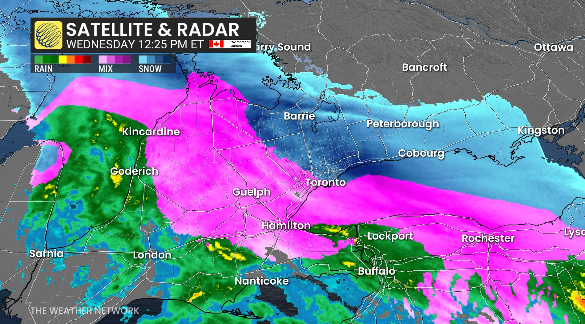
Accumulating snowfall was reported east of Highway 400, while ice pellets were evident across the region.
RELATED: 4 students sent to hospital in school bus crash near Woodstock, Ont.
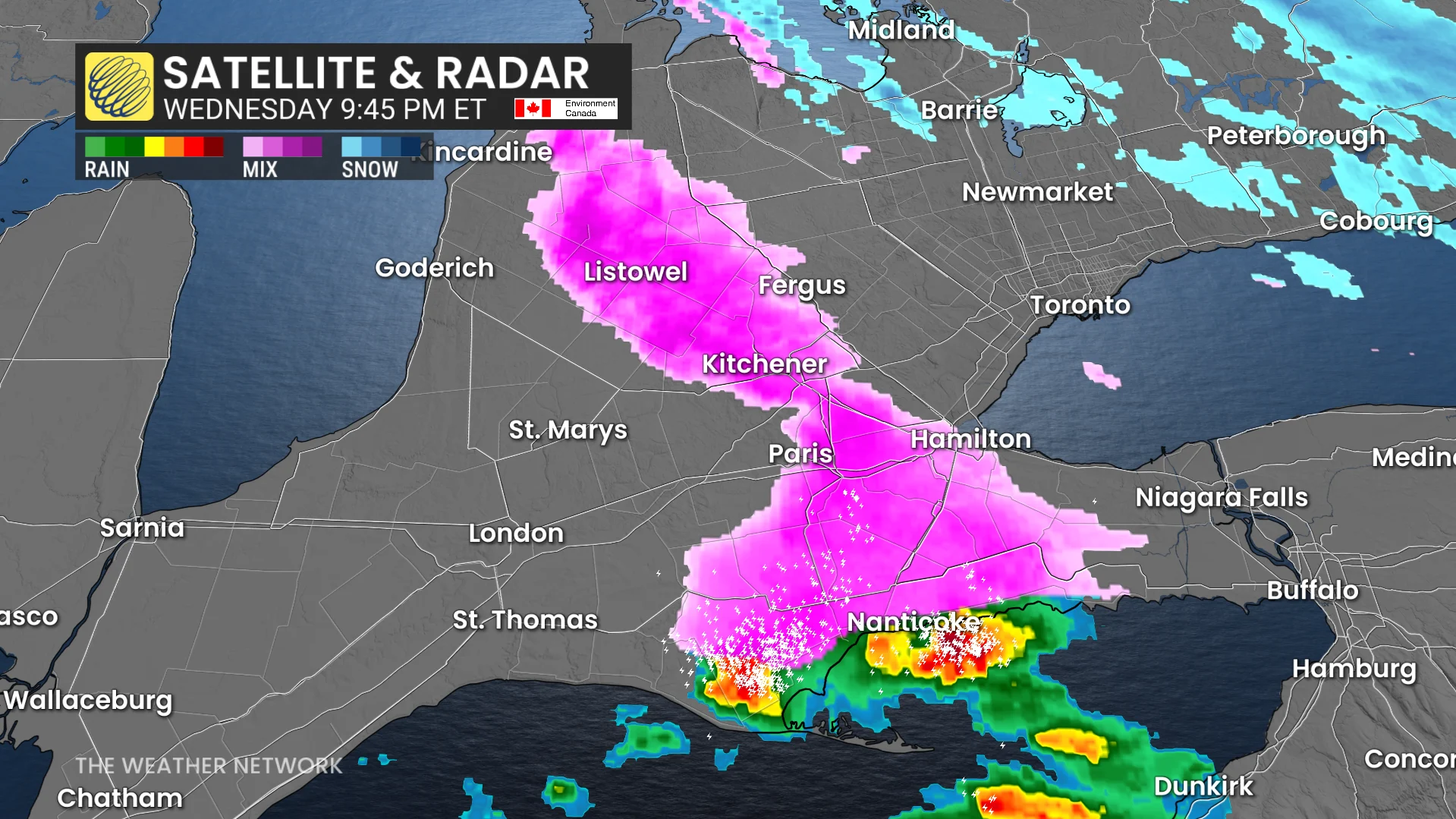
Rare winter thunderstorm with frequent lightning in southwestern Ontario
By 5 p.m., an unexpected development unfolded.
Mild air over Michigan triggered a single thunderstorm near Lansing, which strengthened as it tracked northeast toward Sarnia, crossing into Canada near southern Lake Huron.

The storm shifted eastward, moving through Watford, Strathroy, and London, delivering toonie-sized hail and frequent lightning.

As the thunderstorm encountered colder air over southwestern Ontario, heavy rain transitioned to freezing rain while lightning activity persisted.
This rare February weather event — featuring both thunderstorms and freezing rain within approximately 100 km — adds another unique chapter to winter 2026.