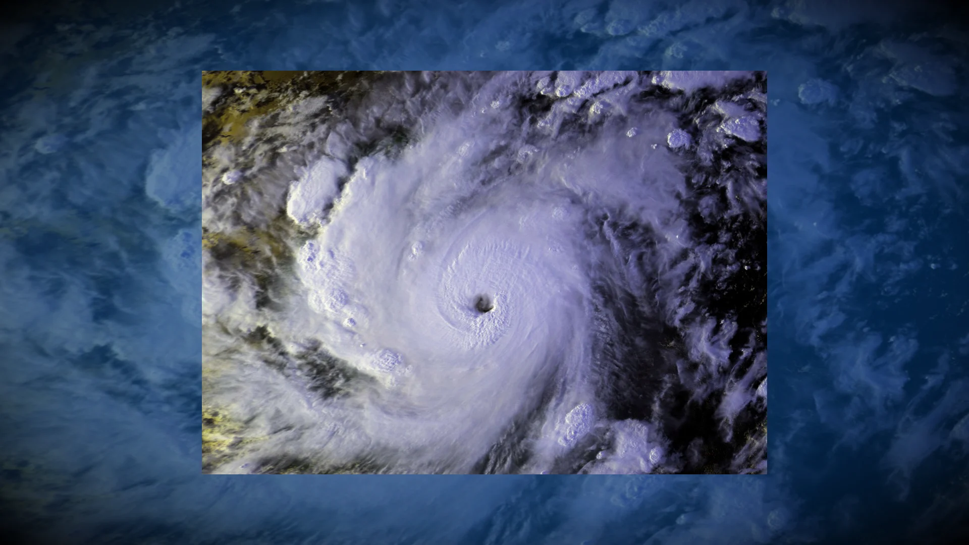
The major hurricane that stalled and emptied a bay

Hurricane Keith stalled near Central America in October 2000 with flooding rains and relentless winds
A major hurricane striking land is bad enough. But a major hurricane stalling just offshore is a recipe for disaster.
This scenario played out when Hurricane Keith meandered just off the coast of Central America in the autumn of 2000, lashing parts of the region with torrential rains and powerful winds for several days on end.
DON'T MISS A stalled hurricane can produce disastrous flash flooding

Keith was a prime example of a storm that can ramp up quickly, providing less lead time for communities in harm’s way.
A tropical depression formed north of Honduras during the afternoon hours of Sept. 28. The system grew into Tropical Storm Keith a day later as it moved west across the southern Caribbean.
Upper-level winds around the storm calmed as Keith approached the steamy waters of the southwestern Caribbean, allowing it to slow down and eventually stall off the coast of Belize.
The storm rapidly intensified from a tropical storm to a Category 4 hurricane in just 37 hours. Relentless winds and rain pounded Belize and Mexico’s Yucatan Peninsula for several days as the hurricane lingered offshore.

A ‘reverse’ storm surge lowered the Bay of Chetumal by more than 1 metre, allowing residents to walk on ground usually covered by deep waters. “This was a potentially dangerous situation, as the water could have quickly returned had Keith moved and the winds shifted,” the U.S. National Hurricane Center (NHC) said in their post-storm analysis.
Torrential rains led to extensive flash flooding throughout the region, claiming at least 24 lives and causing more than $225 million in damages. Belize City reported nearly 830 mm of rain from the storm, while Chetumal, Mexico, saw just under 250 mm of rain.
RELATED: Staying safe from flash floods, a serious and deadly hazard
A break in the pattern forced Hurricane Keith to begin moving west, making landfall north of Belize City during the afternoon of Oct. 2. The system quickly lost strength as it traversed eastern Mexico, but regained some intensity over the Gulf of Mexico before making its second and final landfall near Tampico, Mexico, on Oct. 5.
Hurricane Keith is a cautionary tale on multiple weather safety fronts.
The storm’s rapid intensification just off the coast reiterates that residents should keep up with the latest forecasts as conditions can change very quickly. Many storms in recent years quickly gained strength as they closed in on landfall.
Tropical cyclones that stall in their tracks can produce destructive flash flooding, as we saw with Hurricane Harvey in 2017. The core of the storm remaining just offshore is the only reason Keith’s flooding wasn’t even more devastating for the region.