Miami-Dade wildfire closes parts of Florida Everglades, no signs of slowing down
A fast-growing wildfire has burned over 5,000 acres in west Miami-Dade County, and shows no signs of slowing down.
The Highway 41 Fire, first reported on the evening of April 27, is located south of Tamiami Trail and east of Shark Valley in the Everglades, according to the National Park Service.
Fire officials are recommending people in affected areas pay close attention to directions in case the fire comes close enough for evacuations, though no orders had been issued across the vast area Wednesday morning.
The park has closed down the area "between the L-67 Canal on the west and L-31 Canal on the east from U.S. Route 41 south to several miles north of Mahogany Hammock." The closure includes all parking lots, facilities and waterways within the designated areas, and also affected several businesses – Coopertown Airboats, Safari Park and Gator Park.
Smoke from the fire could result in "reduced visibility and lower local air quality" in nearby areas, according to the NWS. If you're especially sensitive to particle pollution, the agency continued, you should consider spending less time outdoors and reducing your activity level.
Where smoke is being detected in South Florida
According to the NPS, smoke impacts are expected along U.S. Route 41, and road closures could be implemented if conditions worsen. Motorists are encouraged to exercise caution by reducing speed and using low-beam headlights if visibility is reduced. They should also allow for extra travel time, be alert for emergency personnel and equipment on the roads and monitor for local traffic updates and emergency alerts.

Fire Danger Maps and Fire Danger Index (FDI) Report. (Source)
Florida wildfire evacuation trigger points
According to the NPS, residents in the area should be aware of the potential fire impacts and trigger points for evacuation status using the Ready, Set, Go model:
Ready – Be aware of wildfire in the area. Have an action plan in place.
Set – Stay informed, monitor local conditions via web alerts and local media. Prepare a go bag and be ready to evacuate if conditions deteriorate.
Go – Follow directions, secure home, evacuate early.
Recommendation based on current fire activity:
Go Status: Coopertown Airboats, Gator Park, Safari Park, all airboat trails east of Safari Park
Set Status: Osceola Camp
Ready Status: Shark Valley, Miccosukee Reserve Area, Alligator Alcatraz
Recommendation should the fire cross Coopertown Airboats:
Set Status: Osceola Camp
Ready Status: Shark Valley, Miccosukee Reserve Area, Alligator Alcatraz
Recommendation should the fire cross Blue Shanty/U.S. Route 41:
Go Status: Osceola Camp, any camps north of U.S. Route 41
Set Status: Shark Valley
Recommendation should the fire cross L-67 Canal:
Go Status: Shark Valley
Set Status: Miccosukee Reserve Area, Alligator Alcatraz
Recommendation should the fire cross Shark Valley:
Go Status: Miccosukee Reserve Area, Alligator Alcatraz
WATCH: These wildfire terms could help keep you safe this summer
This article originally appeared on USA TODAY: Miami-Dade fire closes parts of Florida Everglades. Here's where
Reporting by Sarah Perkel, USA TODAY NETWORK / USA TODAY
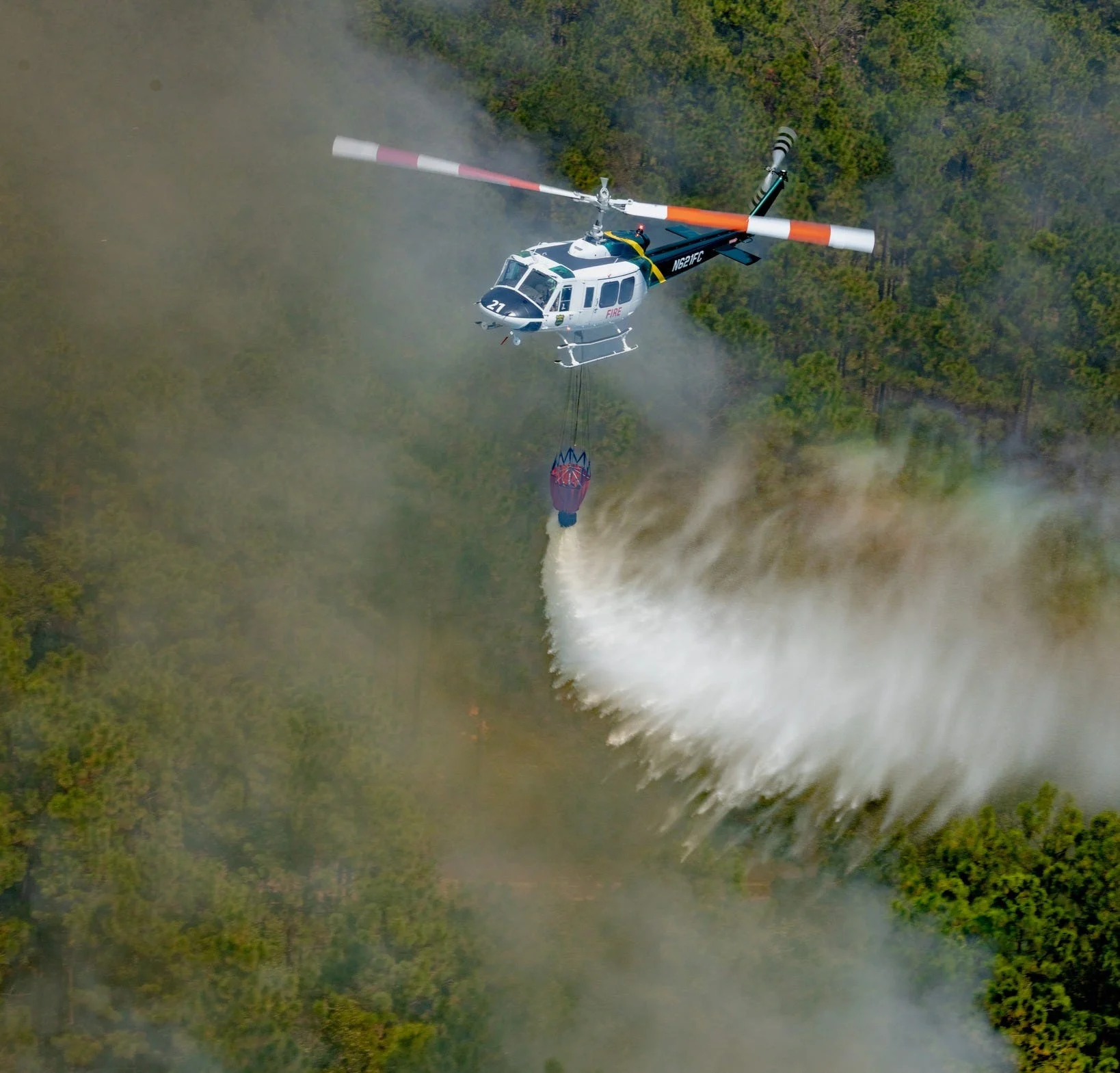
Header image courtesy: The Florida Forest Service provided the photo via USA TODAY NETWORK / USA TODAY of aerial support for an unidentified fire during a historic drought and wildfire season in April 2026.
USA TODAY Network via Reuters Connect