Flash flood emergencies hit Hawaii as heavy rain returns

Honolulu has seen several times its normal rainfall for the month of March
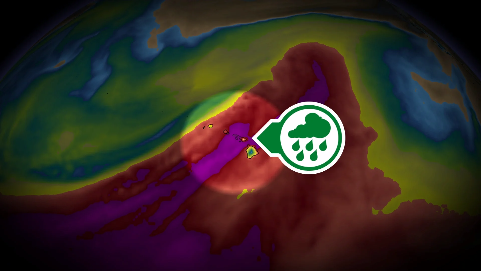
Flash flooding will continue into this weekend for parts of Hawaii as yet another round of very heavy rainfall washes over the island chain in the central Pacific Ocean.
Some areas have seen nearly 800 mm of rain so far this month, with an additional 75-100+ mm on the way over the next couple of days.
DON’T MISS: Are we on the cusp of a “Super El Niño?” Here’s how strong it may grow
The same deep, rich reserve of moisture that streamed toward British Columbia this past week is fuelling the excessive precipitation across Hawaii.

Several low-pressure systems known as Kona lows have brought widespread heavy rain and gusty winds to Hawaii over the past two weeks.
Forecasters issued a rare flash flood emergency for northern Oahu on Friday morning, warning that widespread and significant flooding was expected through the day.
Honolulu recorded 267.2 mm of rain between Mar. 1 and Mar. 19, which is many times the city’s monthly average rainfall of just 59.9 mm.

Lanai reported 428 mm of rain over the same timeframe, which is more than 350 mm higher than their typical March rainfall.
A weather station just east of the active volcano Kilauea recorded an astounding 797.8 mm of rain during the first 19 days of March, with more on the way.
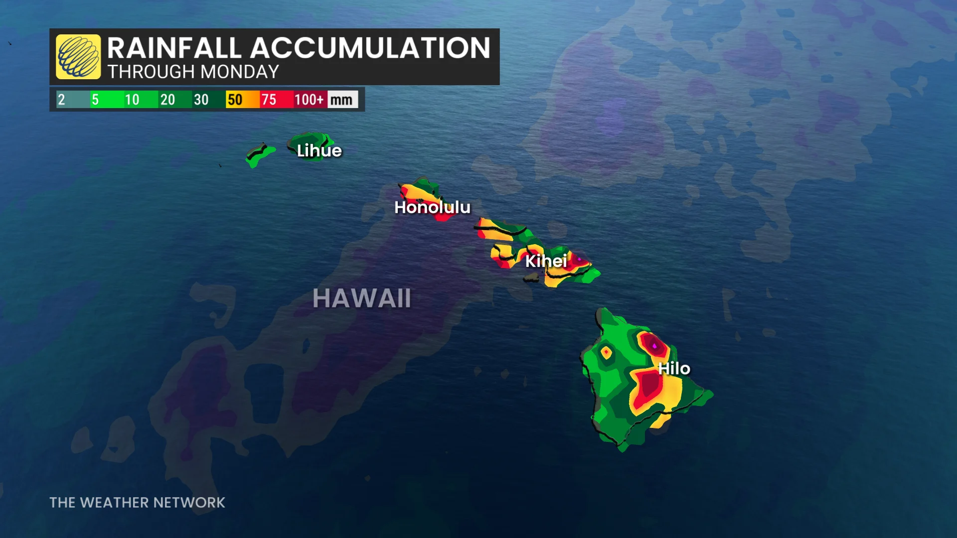
Unsettled weather will continue into this weekend as waves of moisture wash over most of the island chain. An additional 75-100 mm of rain is in the forecast through Monday, with higher totals possible at higher elevations and near the foot of mountains where rainfall is enhanced.
This extreme rainfall surplus has brought extensive flooding throughout the Hawaiian Islands in recent days, causing structural damage in some areas and forcing thousands of people to evacuate their homes.