A handful of Category 5 storms hasn’t saved the 2025 cyclone season

Tropical cyclone activity in the northern hemisphere is running far behind normal for early October
The northern hemisphere is usually a hotbed of tropical cyclone activity during the warm season. Storms regularly rage from Vietnam to the Virgin Islands, churning through muggy air and steamy seas toward coastal communities.
But aside from a few powerful systems, this year's storm activity has been somewhat lacklustre.
DON'T MISS: What’s the difference between hurricanes, typhoons, and cyclones?
Storm energy is way down compared to normal
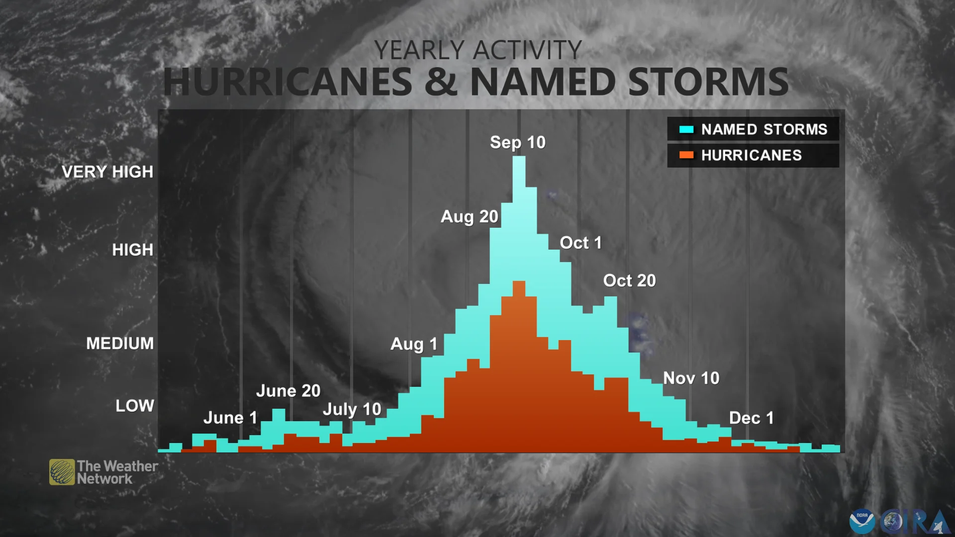
The number of storms that form in a hurricane season is an important statistic for folks who live along the coastline, but it doesn’t tell the whole story.

Meteorologists use a metric known as Accumulated Cyclone Energy to calculate the ferocity and tenacity of a storm over its lifespan. In short, a storm’s ACE value climbs the stronger it grows and the longer it lasts.
Storms across the entire northern hemisphere have generated an ACE value of 332.3 through Oct. 5, according to data collected by Colorado State University. That’s just 76 per cent of the normal ACE you’d expect to see by this point in the year—a sign that we’re running notably behind in tropical cyclone activity to kick off October.

Atlantic and east Pacific carrying their own
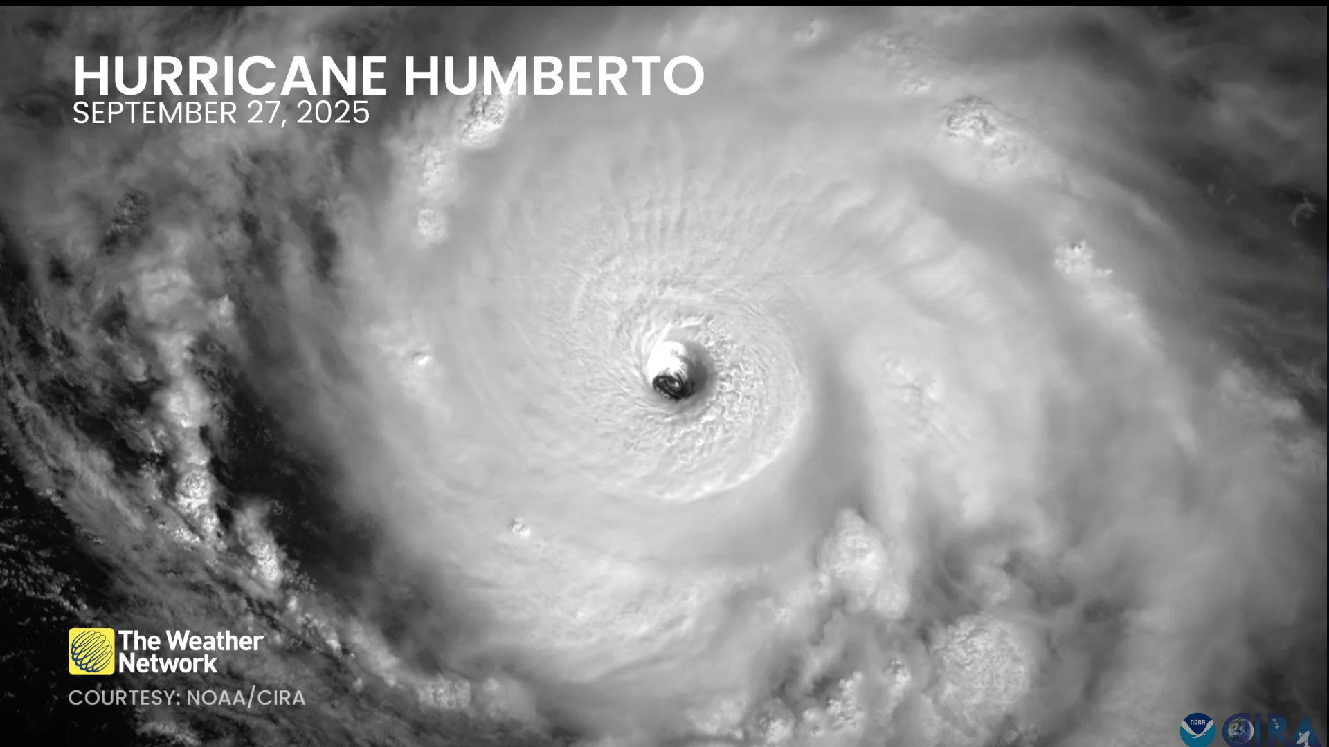
It’s been a strange hurricane season over in the Atlantic basin, where we’ve had eight named storms through Oct. 5. Three of those storms grew into major hurricanes, and two of those hurricanes—Erin and Humberto—topped the scale at Category 5 intensity.
While the Atlantic is running a touch behind in the number of storms that have formed, those powerful hurricanes have kept the basin’s ACE value just below normal.
RELATED: From Camille to Katrina, the Category 5 storms that shaped history
Skies have been busy over the eastern Pacific, where we’ve seen a steady drumbeat of tropical storms and hurricanes through the summer and early autumn months. The basin has seen 16 named storms so far this year—one more than normal—and its overall storm energy was pretty close to average to start October.
So where does that leave the sluggish storm activity?
Northwest Pacific is struggling
Somewhat surprisingly, it’s the northwestern Pacific that’s struggled to produce many noteworthy storms this year. Beginning with Typhoon Wutip in the middle of June, waters off the coasts of eastern Asia have produced 23 tropical storms and typhoons this season.
Despite churning out one storm after another, most of those systems have been relatively weak and short-lived. Almost half of those storms remained at tropical storm intensity with winds below 119 km/h, and most didn’t even stick around for two days before falling apart.

The northwestern Pacific’s two strongest storms have been Super Typhoon Ragasa, which peaked as the equivalent of a Category 5 with 270 km/h winds, as well as Typhoon Neoguri, which meandered over open waters as a typhoon for nearly a week.
As a result, the ocean basin’s total ACE through Oct. 5 is only around 61 per cent of normal for this point in the year—with Ragasa and Neoguri accounting for almost half of this region’s energy alone.
Several months left to go before storm season calms
There’s still plenty of time left in the year for additional tropical cyclones to form throughout the northern hemisphere.
The Atlantic and eastern Pacific hurricane seasons run through Nov. 30. Disturbances in the Caribbean are notorious for quickly growing into powerful hurricanes in October and November.
Even though the bulk of the northwestern Pacific’s tropical cyclone activity occurs between June and November, we can see systems form in this region of the world throughout the year—especially around the Philippines.
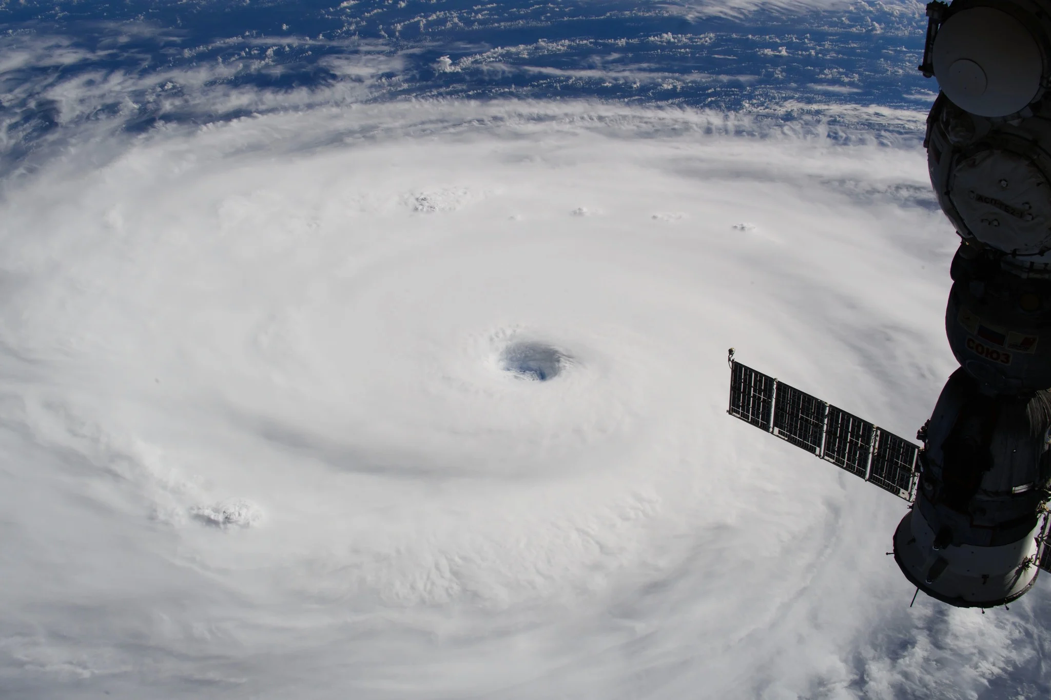
Header image courtesy of NASA.