60+ cm: Toronto struggles with cleanup after historic snowstorm

Historic January snowstorm dumps 60+ cm on Greater Toronto Area, sets records at Pearson airport
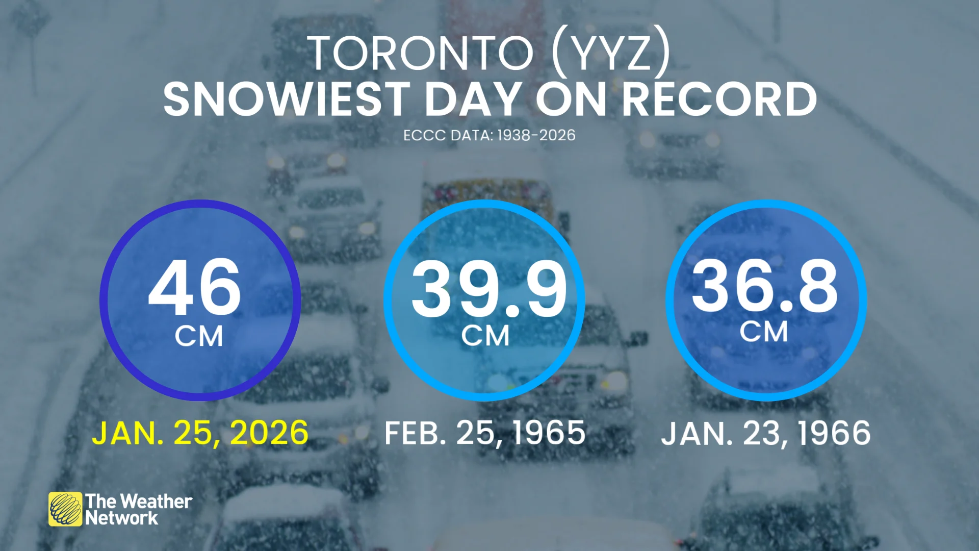
The January 25 snowstorm will be remembered as a historic winter event in the Greater Toronto Area (GTA). The intense storm buried Toronto’s downtown core with 61 cm of snow, while Pearson International Airport recorded a single-day record of 46 cm — the most ever reported there.
The storm was part of a larger system impacting the U.S. and Eastern Canada. South of the border, the storm caused over a million power outages and more than 10,000 flight cancellations. Pearson International Airport also dealt with hundreds of flight cancellations, and snow accumulation led to widespread travel disruptions on highways.
PHOTOS: Toronto's snowiest day on record, 40-50+ cm reported
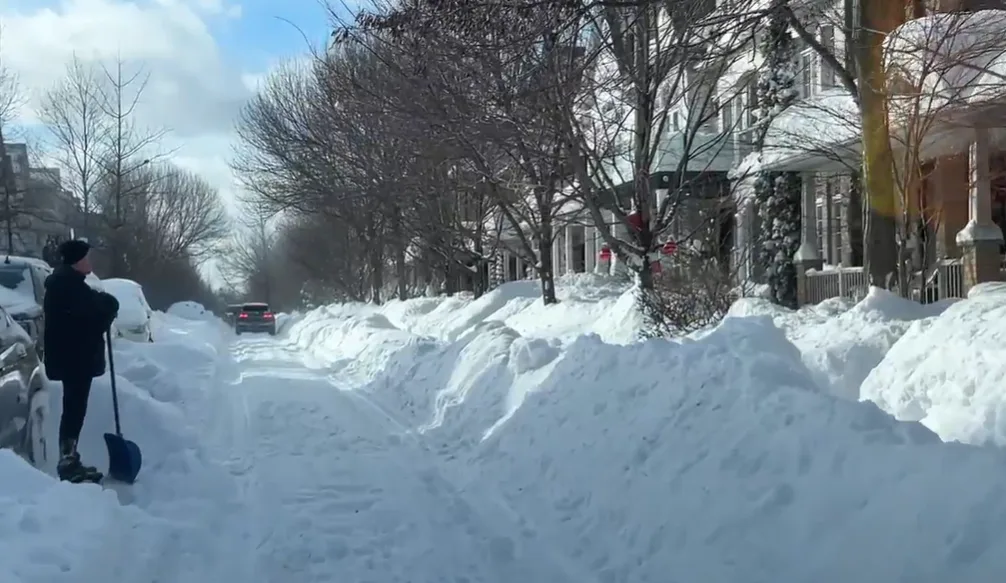
As the storm passed, residents faced the challenge of digging out, with city crews operating continuously to clear major routes.
“Right now we have over 600 plows deployed,” Toronto Mayor Olivia Chow stated on Monday. However, many sidewalks remained impassable, drawing mixed reactions from residents.
RELATED: 'Spectacularly dangerous:' Beware of this silent killer following a snowstorm
Snow removal efforts will continue, with Chow indicating plans to accelerate cleanup in the coming days.
WATCH: What will Toronto do with all this snow?
Snow squalls, wind gusts create hazardous travel for southern Ontario snowbelts
Although the main system has moved out, bursts of snow, strong winds, and lake-effect snow squalls continue to impact southern Ontario snowbelts through Tuesday. Snow squall watches and warnings are widespread, along with blowing snow advisories for impacted areas.

Blowing snow caused by wind gusts of 40-60 km/h could reduce visibility, making travel hazardous, particularly on county roads and rural areas with high snowbanks.
Accumulated snowfall will generally remain minimal at just a few centimetres. However, communities near Lake Huron could see 5-15 cm through Tuesday and into Wednesday morning. Stay updated for weather advisories and allow extra travel time on affected routes.