Wintry travel troubles likely in southern Ontario with snow bursts
A quick 5-10 cm of snowfall for some will impact Sunday's travel across southern Ontario. So plan ahead and anticipate slower-than-usual commute times
Get ready for active winter weather in southern Ontario.
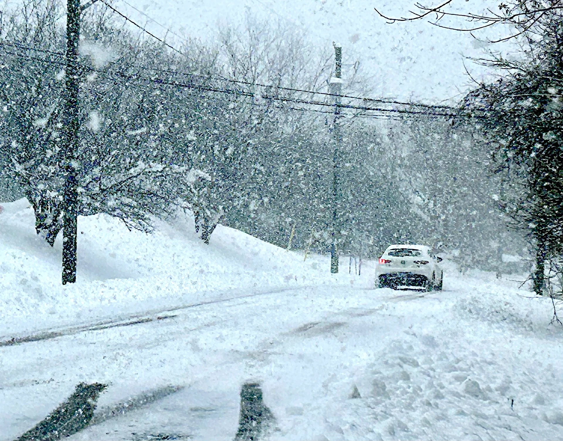
Bursts of snow are forecast for Sunday, creating slick road conditions. Nothing major is expected for amounts, but many areas could see 5-10 cm of snowfall. Expect slower commutes Sunday as roads will be slippery.
DON'T MISS: Ontario's wild wintry Wednesday ended with...thunderstorms?
While most of the snow will taper off by Monday, gusty winds will bring in a significant temperature drop and cold wind chills to start the week.
Sunday snowfall to make for tricky travel
A weak, surface low-pressure system is putting a damper on this Sunday. Through the morning, folks can expect widespread flurries.

Into the afternoon and evening, the bands of heavy snowfall are expected to set up. With the low pressure right over the regions, snow squalls bands will form off of lakes Huron, Erie and Ontario.
Expect a quick burst of snow, with poor visibility and blowing snow.
Early afternoon, a band is expected to set up right over the Greater Toronto Area (GTA), especially in Toronto and areas east.

Into the afternoon, snowsqualls over London, Hamilton, snowbelt communities and Sarnia will develop.
Into Monday morning, the snow winds down except for the Niagara Peninsula, which gets a little taste of the blockbuster nor’easter off the East Coast of the U.S. Some light snow will have impacts for the morning commute along the QEW with slick roads.

Into Monday, winds will shift to from the northwest, leading to gusty conditions (up to 60 km/h). Another around of Arctic air will bring temperatures below seasonal into the final week of February.
A significant storm is possible late this week, but it is to early to have confidence in the storm track and impacts. But it is a system to watch with the potential for substantial snow and/or mixed precipitation. Changeable temperatures are expected through the first week of March, with the potential for a couple of messy systems.
Stay with The Weather Network for the latest updates across Ontario.