Winter weather returns to B.C. after South Coast snow drought
Better late than never as winter will finally appear in southern B.C. Snow is forecast across the Lower Mainland and Interior regions this week. Stay prepared for cooler temperatures and changing road conditions.
Some southern B.C. locales nearly made it the entire without snow, but it looks like the snowless streak will come to an end this week.
Chances for snow return to B.C. Could Vancouver’s snowless streak end on Monday and Tuesday? Odds are, for lots of regions, yes.
DON'T MISS: El Niño is possible later this year as La Niña fades
A pattern flip on the way this week looks to bring some cooler temperatures and precipitation to the region. Many will see their first snowfall of the season across the South Coast over the next few days.
A trough finally returns to the West into this week
We’re looking ahead to a pattern flip that will allow a trough to begin digging across Western Canada. A series of upper-level lows will reinforce the trough, affording numerous chances for precipitation.

By Monday overnight, the freezing level will fall and wet snow is forecast to develop across the Lower Mainland.
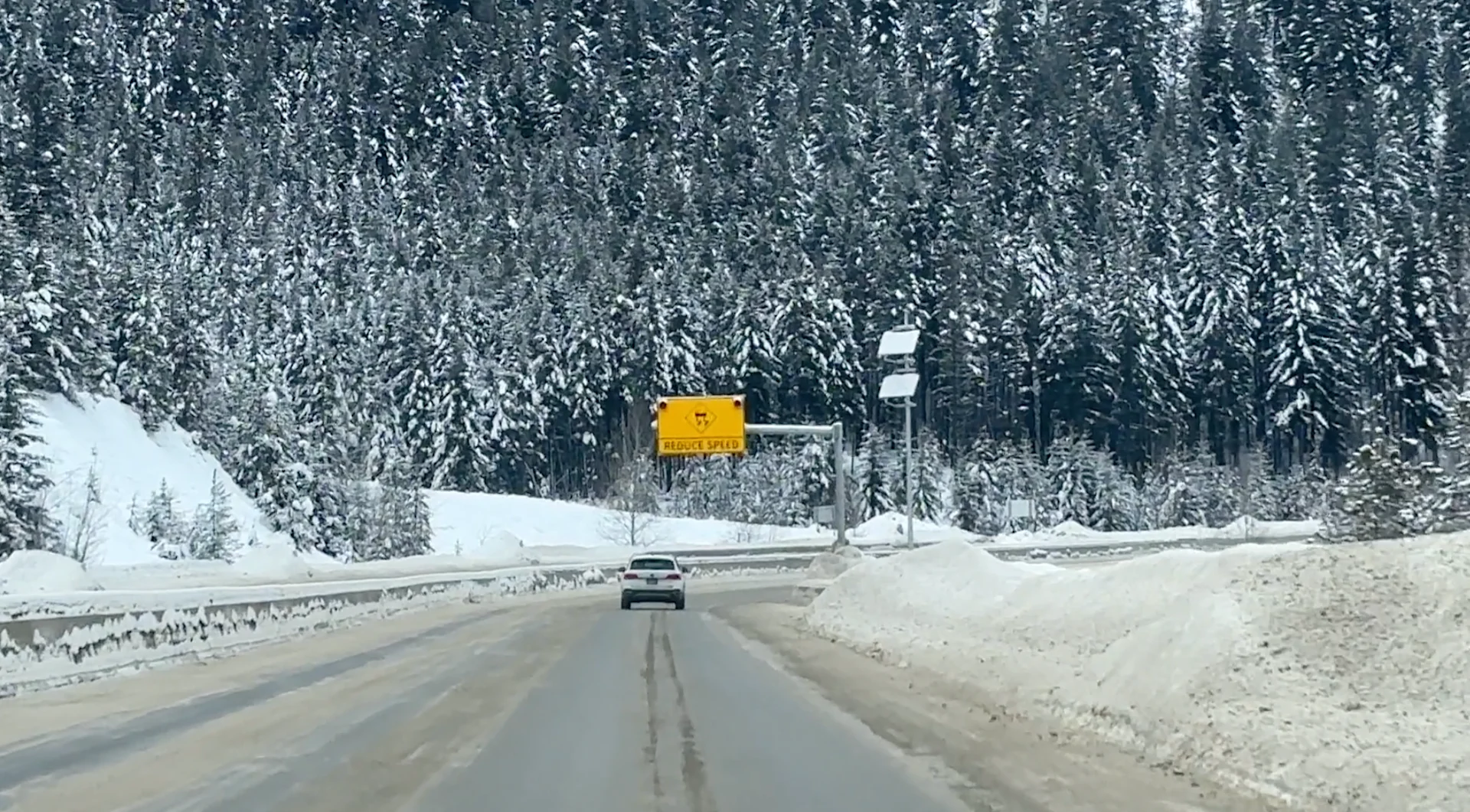
Locally, 5+ cm of snowfall is possible across higher terrain, with 1-3 cm more common across lower elevations of eastern Vancouver Island.

Sunshine Coast is dealing with bursts of wet snow for Powell River (5-10 cm across higher terrain) through Tuesday.

5-15 cm is likely for the Okanogan region, with higher elevation routes on Vancouver Island and up the Sea-to-Sky, which will deal with localized accumulations, as well, before conditions improve later Tuesday into Wednesday.
Stay with The Weather Network for all the latest on conditions across B.C.
Thumbnail credit to Jaclyn Whittal.