Widespread heat wave set to scorch Ontario and Atlantic Canada
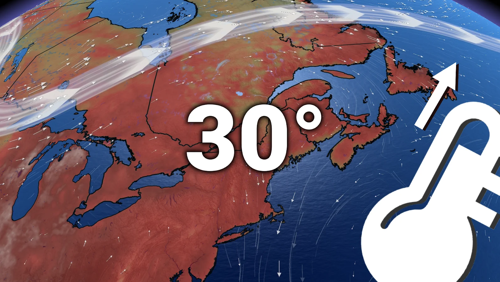
A hot and humid air mass is on its way, replacing this week's cooler weather with a stretch of 30°C+ days, steamy nights and very little relief in eastern Canada.
A major pattern shift will send eastern Canada into a prolonged period of heat and humidity, beginning this weekend and lasting well into next week.
Temperatures across Ontario, Quebec and parts of Atlantic Canada are expected to rise into the 30s, with humidex values reaching the 40s in some areas.
LOOK: ACHOO! The science behind the solar sneeze
Humidity ramps up across 2,500 km stretch
By Friday, southwest winds will signal the arrival of much warmer air, with high humidity extending over 2,500 kilometres from Ontario to Newfoundland by Sunday.

The change occurs as a ridge forms, transforming the area from comfortable to oppressive almost overnight.
Conditions will be particularly muggy in the Greater Toronto Area, with overnight lows in the low to mid 20s providing little cooling relief.
30ºC+ heat could last for days
Daytime highs are expected to return to the 30s in much of southern Ontario, the St. Lawrence Valley and even parts of Atlantic Canada, such as New Brunswick and eastern Newfoundland.

Cities such as Windsor, Toronto, Ottawa, Montreal and Fredericton could experience five or more days of temperatures above 30°C.
SEE: Look up! Perseids and a Planet Parade shine in August 2025
Between Friday and Wednesday, humidity will cause the humidex to rise into the high 30s, possibly even the low 40s.
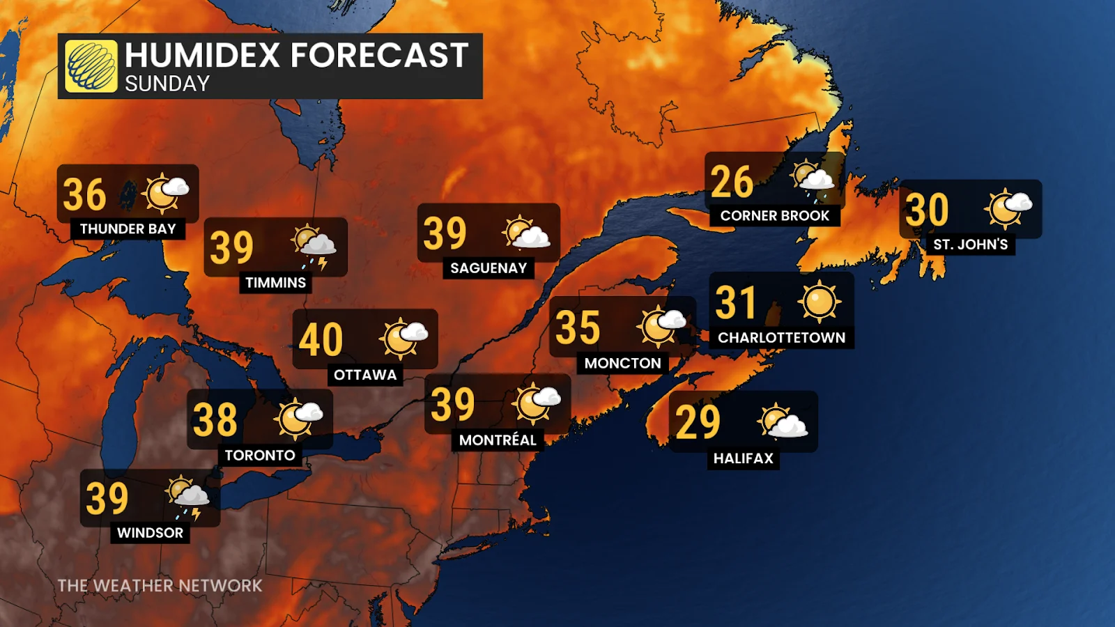
According to Environment Canada's climate normals, humidex values above 40 occur on only one day per year in Ottawa. This stretch may result in two.
August in Toronto averages just over six days with a humidex of 35 or higher. That threshold could be met in less than a week.
Stay with The Weather Network for all the latest across Ontario, Quebec and Atlantic Canada.