Why rain could fall as mud in Europe this week? And how?

Days of muddy rain could impact Spain, Portugal and France later this week.
Mud falling from the sky might be more likely than you think.
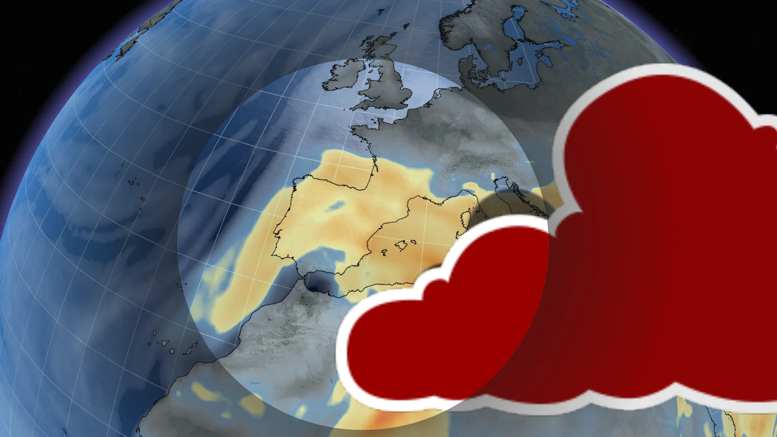
A large swirl of Saharan dust is currently being carried northward towards southern Europe by a slow-moving pressure system. The slow-moving nature of the system means it’s picking up fine sand from Africa as it heads north.

The fine sand circulates in the storm, allowing it to get carried high up into the atmosphere. So when rain develops from this system, it won’t be ordinary rainfall.
Droplets will capture and carry the suspended dust as they fall, and the resulting rain will therefore be a bit different.

Showers will leave behind a thin layer of reddish-brown residue similar to a layer of mud on cars, buildings and windows. The rain itself is not harmful at all, but the dust will carry respiratory impacts.
The highest amounts of rainfall will be centralized around northern and western Spain, as well as the southern parts of France.

The Saharan dust will have impacts other than muddy rain, redder sunrises and sunsets can be expected as well. These are caused by the higher particulate matter sunlight has to travel through.
And expect air quality to be poor, authorities in Spain and Portugal have issued air quality advisories and warnings for vulnerable groups, advising them to limit outdoor exposure.
