Thunderstorms to snow? Prairies storm threatens Thanksgiving travel
Allow plenty of extra travel time as a potent fall storm sweeps across the Prairies this weekend
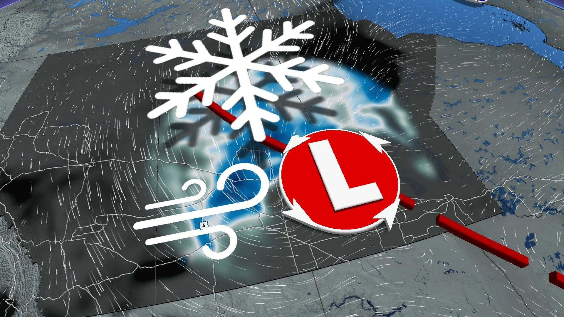
A potent fall storm is on the menu across the Prairies this weekend as the region braces for rain, snow, gusty winds, and even the potential for a few thunderstorms.
This system will peak Sunday into Monday as it moves west to east through the region. Travel issues are possible in areas that experience snow and high winds.
DON’T MISS: An abrupt transition to winter? Check out Canada’s winter sneak peek!
Cold front crashes across the Prairies
Temperatures plummeted in Alberta on Saturday as a cold front swept through the province.
Snow at higher elevations will follow cold air toward lower elevations during the overnight hours, including in Calgary. It’s likely the eastern portions of Alberta will see flurries while the risk for accumulations remains confined to parts of the foothills.
Marginal snowfall scenarios make accumulation forecasts difficult, but locally, a few centimetres are possible overnight Saturday.
Thunderstorms in October?
A dynamic low-pressure system will bring sharp temperature contrasts and ample moisture.
Saturday night could feature a couple of isolated thunderstorms across Manitoba, but the more widespread thunderstorm risk spills in Sunday afternoon across southeastern Saskatchewan, arcing into Manitoba, as instability bubbles up in the warm sector of the developing low.
While Regina transitions to wet snow, Winnipeg will be sitting in the low 20s.

Wind and snow could interrupt travel
Flurries will wrap early Sunday morning for Calgary, but a wintry mix is pushing across southwestern Saskatchewan, including Swift Current.

The low will move into Saskatchewan on Sunday, spreading rainfall across parts of the province. Locally heavy rainfall will target Regina, Sask., before a transition over to wet snow into Sunday afternoon.
Very little in the way of precipitation is forecast for southwestern Manitoba as the storm develops a dry slot.
Strong gusts between 40–60 km/h on Sunday morning, with gusts exceeding 70 km/h across Saskatchewan by Sunday afternoon and evening.

Gusty winds will spread across Manitoba through Sunday evening and overnight, with winds beyond 80 km/h possible.
Thompson, Man., likely receives the heaviest snowfall with this event, with local amounts near 15 cm.
These gusty conditions combined with potential snowfall could lead to poor visibility.

There remains significant uncertainty around snowfall amounts. Since southeastern Alberta and the Prairies have temperature in the 20s through Saturday, the ground will remain warm, which may hinder some snowfall accumulation.
Temperatures in Saskatchewan and Manitoba will see a significant decline as the cold front moves through.
Highs on 25°C on Saturday in Saskatchewan and Manitoba will drop to just a couple of degrees above freezing by Sunday afternoon.
Looking ahead, temperatures will struggle to rebound to the seasonal mark as the trough responsible for our unsettled conditions locks in over the region with some slight ridging for southern Saskatchewan into Manitoba late week.
Stay with The Weather Network for all the latest on conditions across the Prairies.