Warmth and showers will spill into Ontario this weekend
Moisture surging north from the Gulf of Mexico will bring a range of impacts to southern Ontario in the coming days. From showers and thunderstorms to temperature swings, the upcoming week will feel more like spring.
A gradual warmup is on the way for southern Ontario over the next couple of days as a classic spring pattern settles over the region.
The comfortable temperatures will come with a price, as we so often see around this time of year. Periods of unsettled weather will accompany the warmth in southern Ontario through the middle of next week.
DON'T MISS: It’s not just 7 C: The real rules for switching your tires
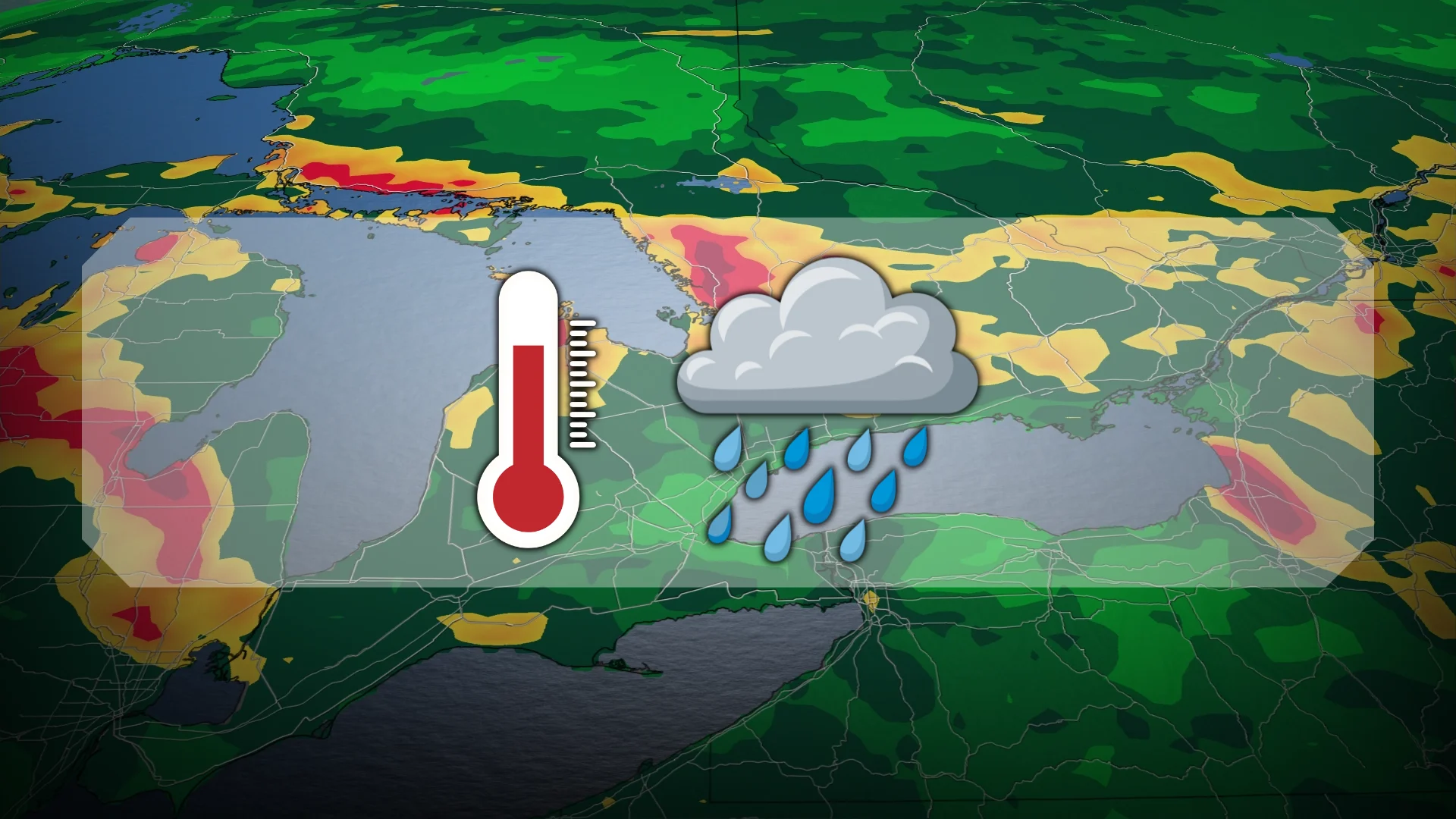
Warmer conditions bring unsettled weather to southern Ontario
The front that brought clouds and rain to the region on Friday will clear out for our day on Saturday.

Sunshine and seasonal temperatures are on tap across southern Ontario to kick off the weekend. We can expect seasonal readings around 10°C in the Greater Toronto Area (GTA).
Those hoping for even warmer temperatures, perhaps even a 20-degree reading in the GTA, might be in luck in the days ahead if you’re willing to dodge the occasional shower or thunderstorm.
Showers are possible on Sunday as another low-pressure system slides into the Great Lakes to end the weekend. Temperatures will climb into the 20s across southwestern Ontario and approach 19-20°C throughout Toronto, Hamilton, and Niagara.

This system will combine with another centre of low pressure tracking close behind to bring additional opportunities for rain on Monday and Tuesday. Forecasters are even watching the potential for thunderstorms into Wednesday.
WATCH: Are the early U.S. tornadoes bad news for Ontario's season ahead?
Stay tuned to The Weather Network for the latest forecast updates across southern Ontario.