
Severe storms and heavy rain threaten Manitoba, NW Ontario
Tornado warnings and watches were issued in Saskatchewan and Manitoba on Wednesday, and the severe weather potential continues across southern Manitoba and northwestern Ontario into Thursday
Tornado watches and warnings were issued in parts of southern Saskatchewan and Manitoba Wednesday evening, as the threat for dangerous weather continued through the overnight hours.
Large hail, heavy downpours, and strong winds remained a threat into the early morning hours on Thursday.
DON'T MISS: From nuisance to nightmare: Huge hail is an extreme danger
The threat for severe storms will reappear Thursday afternoon and evening in southern Manitoba and northwestern Ontario along a cold front.
It is important to remain weather-aware, and stay up-to-date on all of the latest watches and warnings as conditions change.
Thursday: Heavy rain and severe storm risk shifts eastwards
On Thursday, a large, organized low-pressure system will take shape over northern Saskatchewan and Manitoba, bringing a mix of widespread rain and severe weather risks.

DON'T MISS: 2025 is Canada's second-worst wildfire season on record for area burned
Northern regions will experience steady rainfall, while southern Manitoba and northwestern Ontario face the potential for severe storms along the system’s cold front. Areas near Winnipeg and Kenora, Ont., may be impacted by these stronger storms. Damaging winds, hail, and heavy downpours are possible.
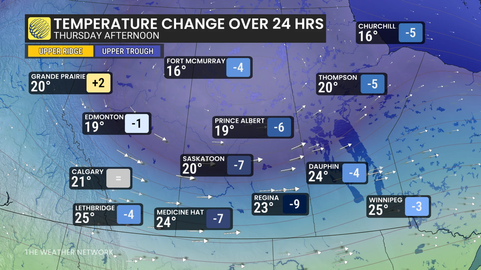
Cooler air will sweep into the western Prairies on the backside of the low pressure system. In Regina, Sask., temperatures are expected to drop sharply from 32°C on Wednesday to 23°C by Thursday.
Be sure to check back for the latest updates across the Prairies.