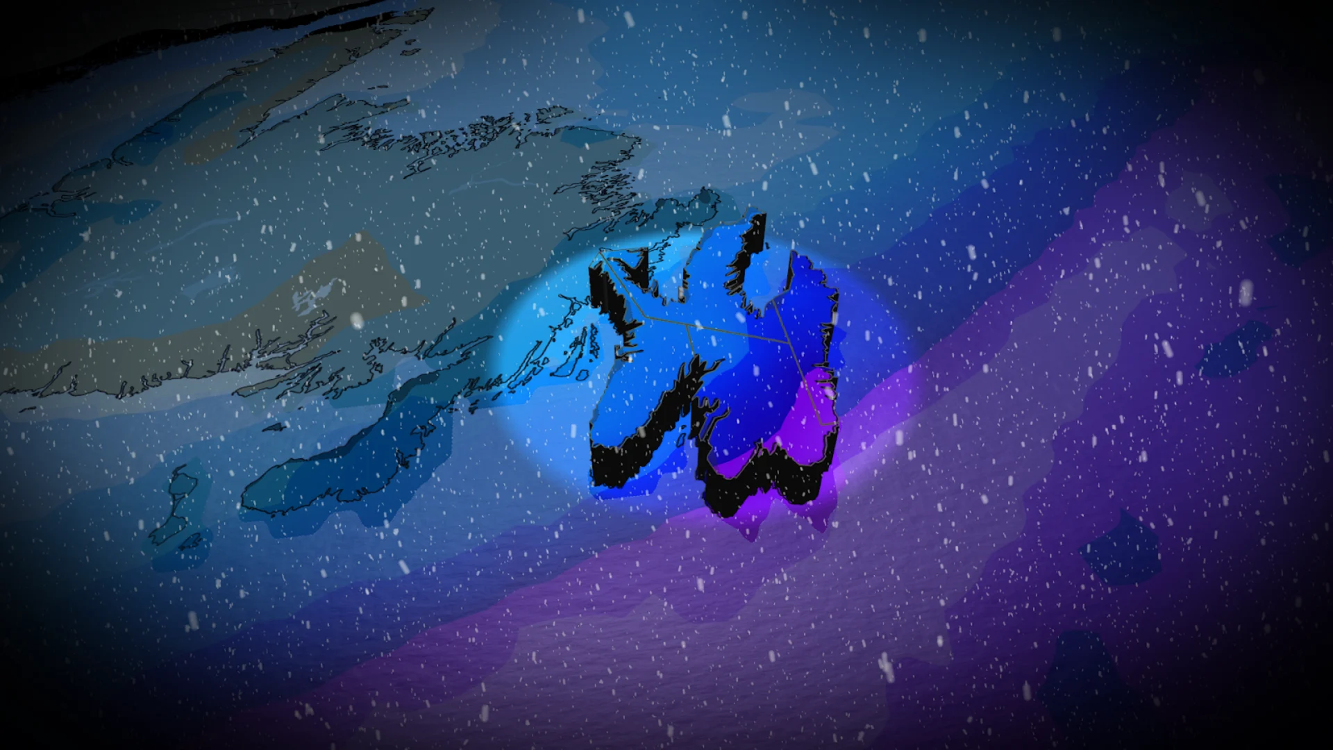
30+cm? Parts of Newfoundland may see blizzard conditions, heavy snow
Get ready for more winter weather in Newfoundland. A snowy system arriving late Sunday and continuing through Monday could bring 30+ cm of snow to some areas, along with local blizzard conditions
The snowy start to January for Newfoundland comes after a busy December for much of the island, particularly in the eastern and central regions.
And there's more to come with yet another impactful storm en route for Sunday night, with disruptions expected to last well into Monday. Some areas could see 10-30+ cm of snow and local blizzard conditions with blustery wind gusts. School and road closures are possible.
DON'T MISS: When is the coldest stretch of the year in your corner of Canada?
Consider postponing non-essential travel and outdoor activities until conditions improve.
Next storm could pack a bigger punch Sunday into Monday
The second low is what forecasters have a closer eye on as confidence has steadily increased on the heaviest snow and totals. Bit it also could bring greater hazards and impacts.

The second system is expected to form when two weather disturbances merge south of Nova Scotia on Sunday, helping the storm to rapidly expand as it moves toward Newfoundland.
It will bring heavy snow and possible blizzard-like conditions Sunday night into Monday morning for the Avalon and Bonavista peninsulas.
The low will be rapidly intensifying as it tracks across the region. The storm looks to bring a swath of 20-30+ cm of snow to parts of eastern Newfoundland and wind gusts that could reach 90+ km/h if a track over the Avalon verifies.

Peak snowfall rates for St. John’s will occur from midnight to 5 a.m., hitting 2-4 cm an hour.
Local blizzard conditions are possible during the pre-dawn Monday hours, with sustained, northeasterly winds of 50 km/h and gusts to 80+ km/h.
For Monday morning, blowing and drifting snow are the primary concerns for eastern Newfoundland.

After the low lifts north, sea-effect snow is forecast to wrap behind off the Gulf of St. Lawrence, with temperatures remaining seasonably chilly.
Expect significant travel delays, and potential school and road closures on Monday morning as a result of the storm. Low-to-moderate risk of power outages with the strongest wind gusts generally remaining below 90 km/h.
Frigid temperatures are likely early this week, but temperatures will turn much milder during midweek as the next system approaches with the potential for mixed precipitation or rain for southern areas and snow to the north.
An active pattern will continue through the first half of January.
Stay with The Weather Network for the latest updates across Newfoundland
