Thunder risk puts outdoor Easter plans in jeopardy across southern Ontario
Outdoor plans may require adjustments this Easter long weekend in Ontario
Two Colorado lows will track across Ontario through the Easter weekend, delivering rain, thunderstorms, and a short-lived return of 20°C temperatures to the south. Meanwhile, northern parts of the province could be dealing with up to 50 cm of snow.
Weather Highlights:
More rain arrives Saturday, with a cold front possibly triggering thunderstorms
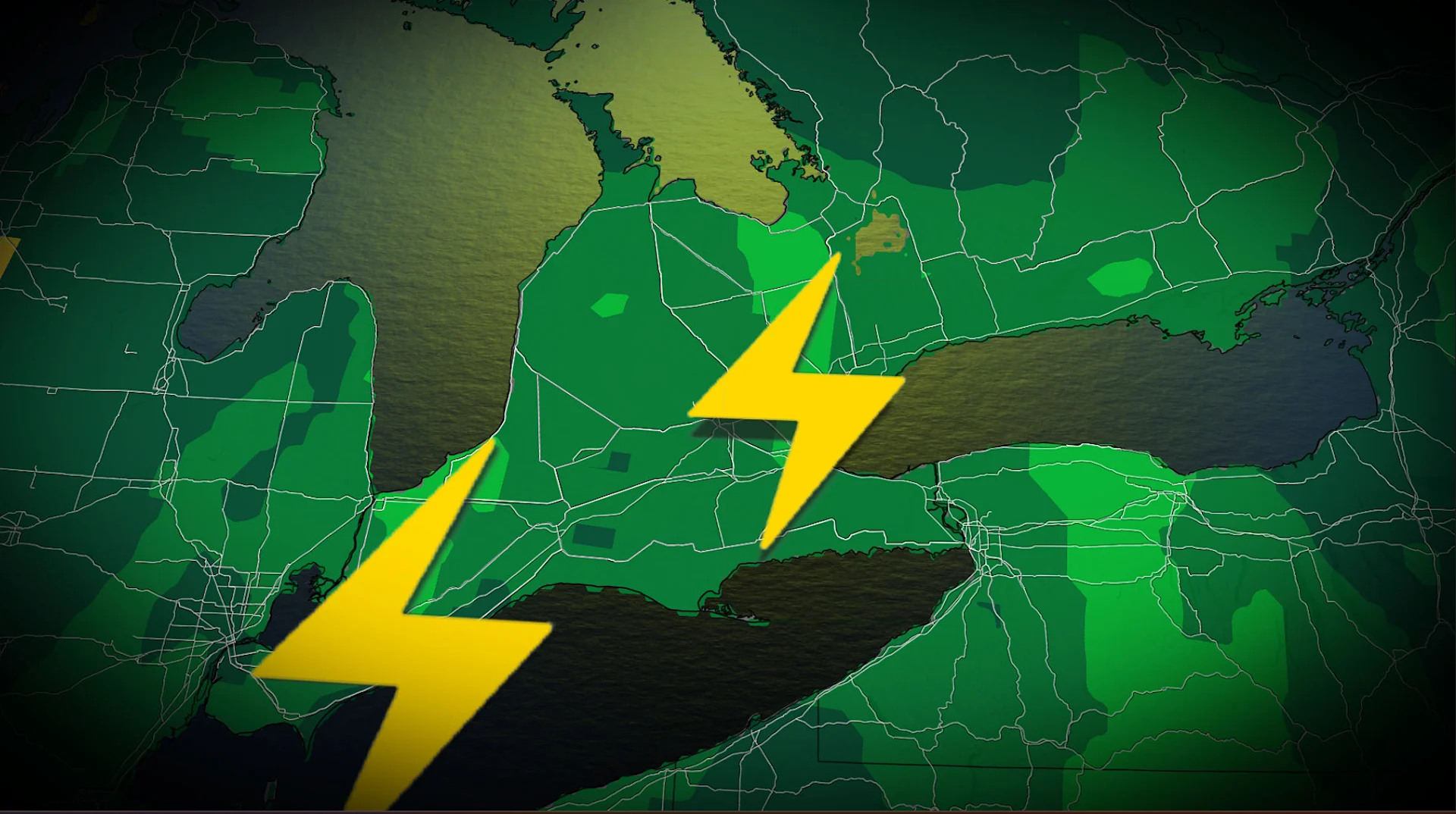
We could see a severe storm pop up around the Niagara region, with small hail possible
DON'T MISS: Will Canada's April bring a summer preview or a winter rewind?

Consecutive Colorado lows bring unsettled weather and shifting temperatures for Easter
Good Friday will start mild, with temperatures reaching the 20s from Windsor to Ottawa, marking Ottawa’s first 20°C day of the year!
RELATED: How Colorado lows and Texas lows affect our weather in Canada
Eastern Ontario can expect morning rain and a few thunderstorms, but most of the day will remain rain-free aside from isolated showers.
Mild conditions will persist in southwestern Ontario into Saturday morning and afternoon before a second Colorado low arrives.

Rainfall will spread across the region Saturday morning, and the storm’s cold front may trigger additional thunderstorms in the afternoon. Some of the storms may be more severe in nature, specifically around the Niagara region, with the main impacts being heavy rainfall and small hail.
DON'T MISS: Gas prices: How to save money at the pumps in every season

By Sunday, the cold front will usher in single-digit temperatures, with a wintry mix of precipitation spreading across Ontario. Northern parts of the province will be dealing with ice, and heavy snow, with as much as 50 cm forecast in some places.

Be sure to check back for updates as we fine-tune this forecast.