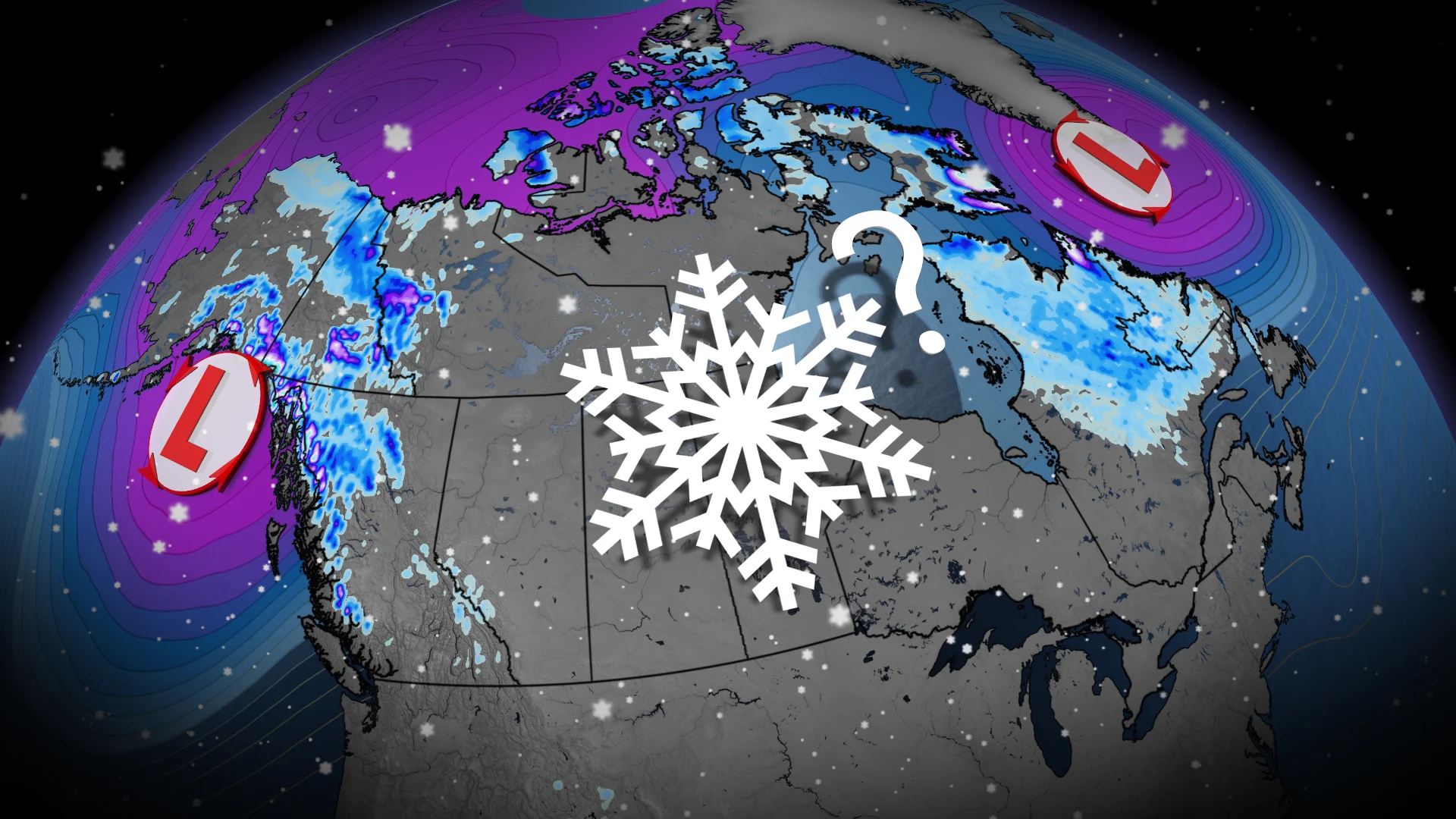
Ready or not, three areas across Canada may see snow this weekend
Snow is in the forecast this weekend for parts of Canada
As the heat continues for portions of Canada, some communities are already dealing with potentially snowy conditions heading into this weekend.
It may seem early to talk about snow in the forecast—but it’s actually later than usual for some areas across Canada’s Far North.
Forecasters are monitoring these three regions for potential snowfall over the next couple of days.
DON’T MISS: What’s the snowiest month in your corner of Canada?
Northwestern Canada on alert for alpine snows
Portions of the territories and British Columbia are first in line for snow as an Alaskan low swoops into the region. Colder temperatures and abundant precipitation will spread into the Yukon, Northwest Territories, and northern B.C. this weekend.
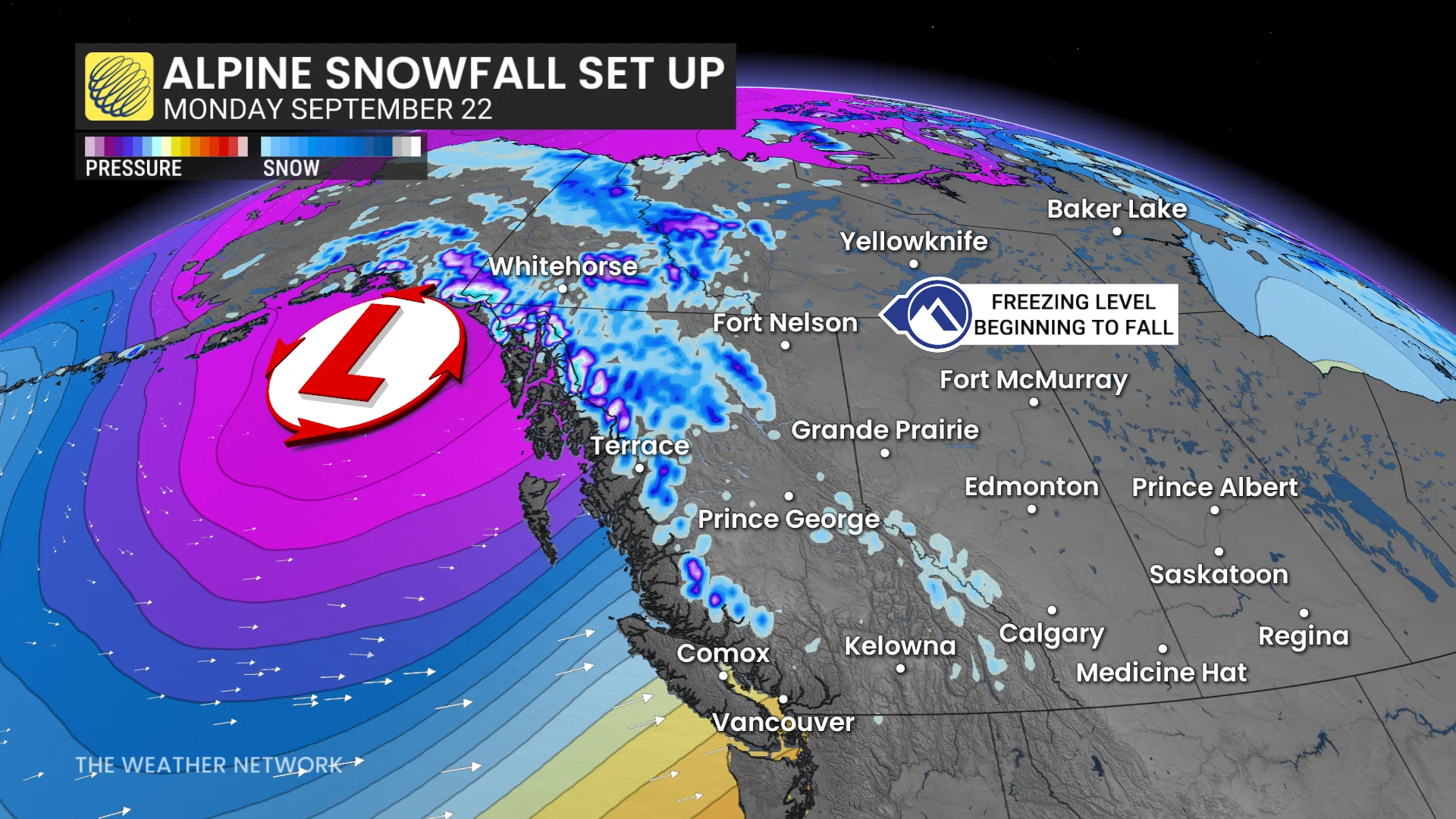
Precipitation will likely fall as snow at elevations above 1800 metres across the Mackenzie Mountains, Boundary Mountains, Cassiar Mountains, and the northern Rockies.
This pattern change will eventually move south across B.C. into next week, bringing colder-than-normal temperatures and opportunities for rain in the long range. A risk for alpine snow could accompany this change into the workweek.
Nunavut’s snows are later than usual
Moving east across the country, we find a strong low-pressure system spinning up just offshore of Baffin Island. Wind warnings have been issued for the region as winds could exceed 90 km/h at times on Friday and Saturday.

MUST SEE: Get winter-ready: How to prepare your vehicle for the cold weather ahead
Higher elevations along the Hall Peninsula could see significant snowfall during this event, with a rain-snow mix in the forecast for Iqaluit. Folks in Iqaluit typically average the season’s first snowfall on Sept. 6.
Northern Quebec and Labrador also in line for flakes
The same system swirling near Baffin Island will push chilly temperatures and precipitation over portions of northern Quebec and Labrador into the day Saturday.
A rain-snow mix is in the forecast with little accumulation expected. We could see wet snowflakes from Salluit down to Labrador City during the weekend, where the average date of the first snowfall is Sept. 15.
First snow gradually creeps southward as autumn settles in
Most of Northern Canada and the northern Prairies average their season’s first snowfall sometime during the month of September.

Wintry weather ekes southward with the changing seasons, with the season’s first snow typically appearing on the Prairies between the end of September and the middle of October.
Northern Ontario usually joins the snowfall club around the opening half of October, followed by cottage country, eastern Ontario, southern Quebec, and portions of Atlantic Canada by the latter half of the month.

Folks across southern Ontario typically have to wait until the first or second week of November to experience the first snow of the season. Vancouver’s mild climate pushes the wait for the season’s inaugural snow back to the middle of December.