Ice storm threat: Where in Ontario has the greatest risk?
A complex storm system is set to deliver prolonged freezing rain and ice pellets to parts of central and eastern Ontario, while southern Ontario faces risks of localized and riverine flooding
Southern Ontario began the week with mild conditions, but a storm system is expected to bring various precipitation types and significant weather impacts across much of Ontario from Tuesday into Wednesday. Prolonged freezing rain could lead to potential multi-day power outages in affected regions, along with slick untreated surfaces and possible broken tree branches.
Flooding and ice jams may occur in low-lying and vulnerable areas. Residents are advised to stay informed as slight changes in the storm's path could shift the areas most at risk for ice and snow.
SEE ALSO: Alberta considers scrapping time change, but not Ontario
Ice storm potential builds Wednesday
A significant storm system arrives late Tuesday, carrying moisture from the southern U.S., and will initiate a 24-plus-hour weather event across Ontario.
Tuesday morning brings fog, increasing clouds, and possible showers in southern Ontario, with continued mild conditions. Snow, freezing rain, and rain will spread into central and southern Ontario by the evening. Southwestern regions may also experience overnight thunderstorms.

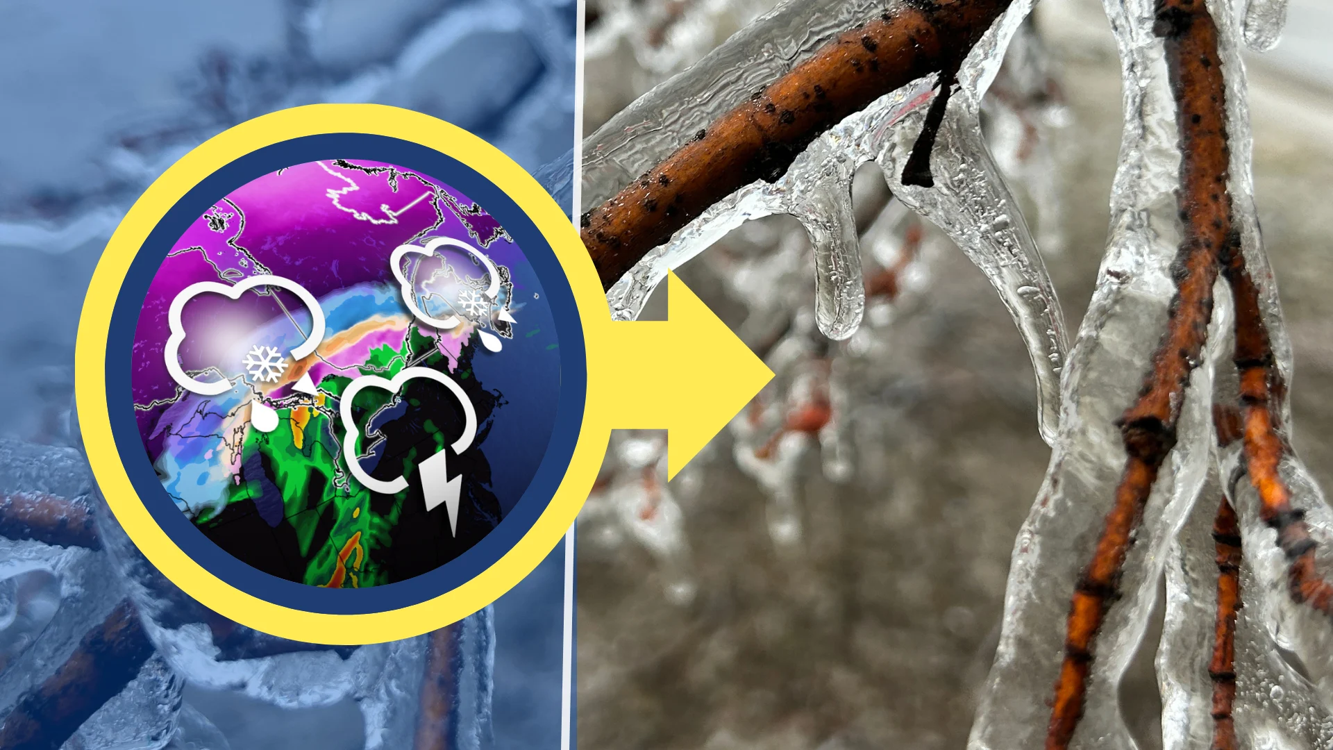
Heavy snow is anticipated east of Lake Superior on Wednesday, with prolonged freezing rain and ice pellets expected east of Georgian Bay and toward the Ottawa Valley.
Heavy rain and thunderstorms will impact southern Ontario in the morning.

By the afternoon, brief warmth will give way to colder air moving south, causing rain to transition into a wintry mix or snow by evening.
Ottawa and Montreal should pay particularly close attention to the forecast over the coming days, as a major weather event is possible here.
In all, snowfall of 5-15+ cm is expected from east of Lake Superior to North Bay.

Southern Ontario could see 20-40+ mm of rain, while freezing rain totals of 5-20+ mm are anticipated, primarily for Ottawa and eastern Ontario. Not all freezing rain will accrete or build on surfaces however, as winds, rate of precipitation, and surfaces all are taken into consideration when determining ice accretion
Flood watches are in effect for southern Ontario, with flood warnings issued for communities along the Grand River, including Brantford, New Hamburg, and Haldimand County.

Potential impacts throughout the week include power outages, slick road conditions, flooding, ice jams, and fallen tree branches.
The storm track may shift, altering the areas most affected by snow and ice. Stay informed with the latest alerts and updates.
Stay with The Weather Network for more information and updates on your weather across Ontario.