Spring arrives in Alberta with lightning, graupel potential
Signs of spring weather are making their way to parts of Alberta Thursday.
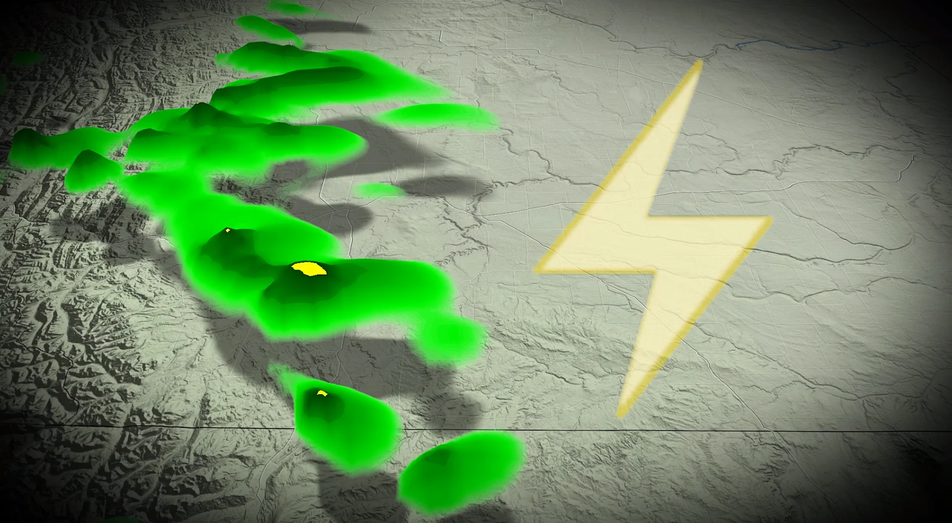
Are you ready for spring weather, Alberta? Meteorological spring is off to a swift start as forecasters look at the chances for lightning and graupel in extreme southern portions of the province on Thursday.
A shortwave trough will swing through southern Alberta later Thursday and into the overnight hours. In combination with daytime heating creating instability in the atmosphere, we could see some isolated heavy downpours with embedded lightning and graupel develop.
SEE ALSO: What is graupel? We break down this often misunderstood precipitation type
Showers will begin across southwestern Alberta around lunchtime, tracking from the northwest toward the southeast. The showers will also pass by the QE2 and Highway 3, between Crowsnest Pass and Lethbridge.

Colder air aloft could potentially supercool the water droplets into graupel, also known as soft hail or tapioca snow.
Overnight temperatures on Thursday are forecast to drop enough that folks may be able to catch a few flurries before temperatures warm back up into the teens for the weekend.
That warmth will come with a windy catch, though, as strong downslope winds develop off the Rocky Mountains. Widespread gusty winds are forecast across the province, but the foothills will bear the brunt of the strong gusts.

Regardless, try to enjoy the weekend warmth while it lasts because forecasters are also looking at a chilly pattern developing early next week.
WATCH: Your 2026 Spring Forecast
Stay with The Weather Network for more information and updates on your weather across Alberta.