Snow, wind, and plunging temperatures to impact Ontario travel Friday
Southern Ontario will face intense snow bursts and strong wind gusts Friday afternoon and evening, causing whiteouts and hazardous travel. Temperatures will drop sharply, with wind chills reaching the -30s
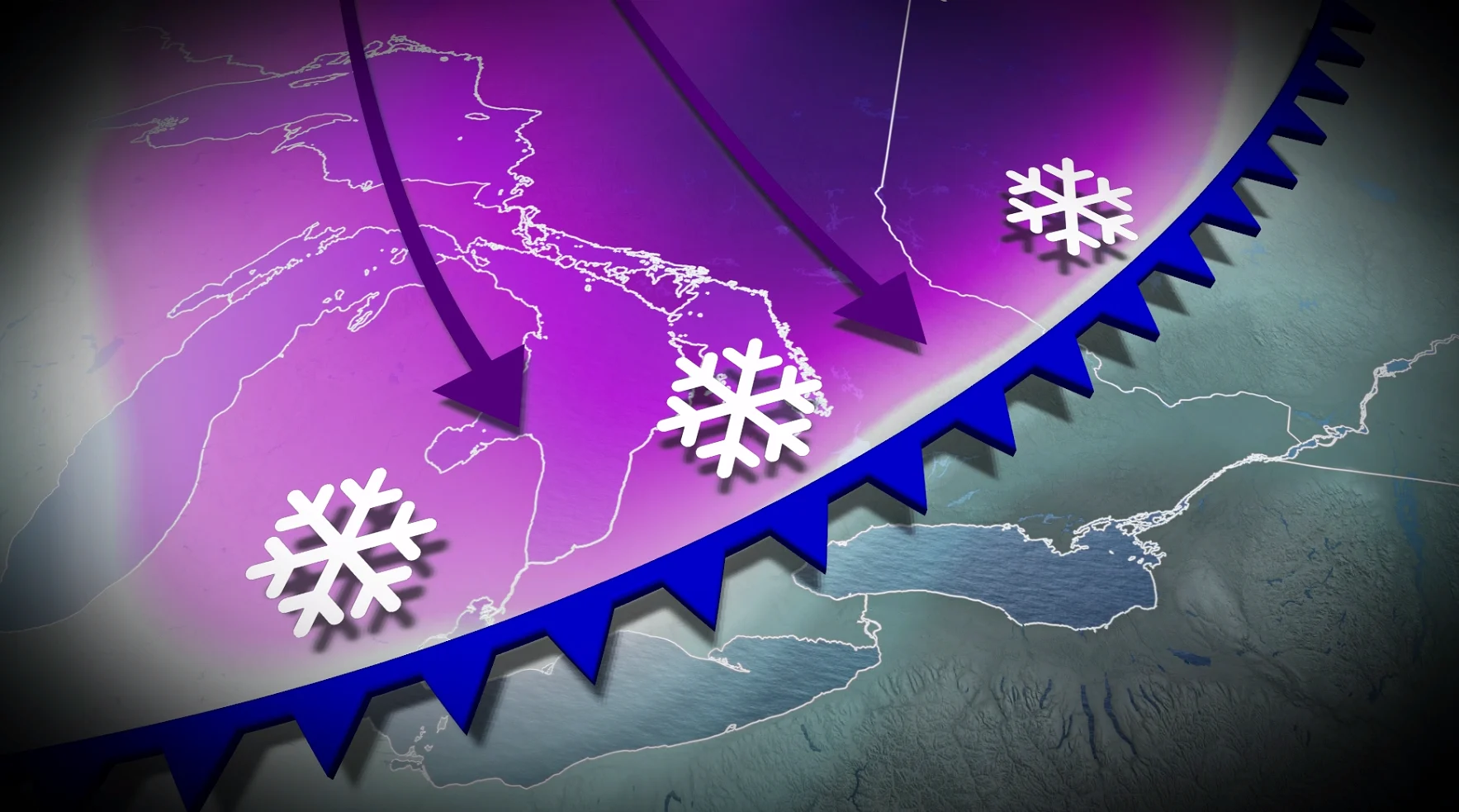
A clipper will bring snow to Ontario Friday, with a frontal snowsquall delivering strong winds and rapidly falling temperatures across parts of the province.
DON'T MISS: February’s significant daylight comeback is here, Canada
The system is expected to pass through late afternoon and into the evening, potentially impacting the tail end of the evening commute in the Greater Toronto Area (GTA).
Strong winds are forecast to cause blowing and drifting snow, which could significantly reduce visibility on county roads and areas near the snowbelts. Motorists are urged to exercise caution and plan for potential travel delays.
Snow to impact commute times on Friday
On Thursday and Friday, a clipper system from northwestern Canada will cross the province, resulting in 3-5+ cm of snow for most areas.
Locally higher amounts of 5-10 cm are expected for some areas outside of the GTA, towards Lake Huron, and across eastern Ontario.
Residents across the GTA and southern Ontario should prepare for snowy roads during Friday's morning and afternoon commutes.

Frontal squall and blowing snow
As the low pressure system moves across Ontario, a strong frontal snowsquall will develop as Arctic air sweeps in behind a cold front. This squall could cause a rapid change from calm conditions to intense snow bursts, strong winds, and near whiteout conditions in some areas.
The front is expected to pass through late Friday afternoon into the evening, potentially impacting the evening commute in the GTA.

Winds are forecast to gust 40-60+ km/h, with stronger gusts possible along the lakeshore. Blowing and drifting snow could lead to reduced visibility, particularly on county roads and areas near the snowbelts. Use extra caution when travelling.
Risk for the coldest wind chill of the season this weekend
A surge of Arctic air will move into Ontario this weekend, delivering a blast of cold weather and bitter wind chills. Temperatures are set to plummet Friday evening, dropping rapidly at a rate of 3°C or more per hour overnight.

Daytime highs this weekend will hover in the mid-minus teens, while overnight lows could dip into the -20s. Wind chills are expected in the low -20s, with some areas seeing values in the -30s. Prolonged exposure to these conditions increases the risk of frostbite, so limit time outdoors and dress in proper winter layers. Cold weather warnings are likely to be issued.
RELATED: Ontario’s longest cold snap in over a decade: Is the end near?
While temperatures in the -20°C range are not unusual for this time of year — the latest -20°C recorded in Toronto occurred on March 20, 1949 — the prolonged winter chill may feel particularly challenging for those ready for some spring-like conditions.

Seasonal air returns next week, but there's a catch!
Long-range models suggest a potential weakening of the cold pattern gripping Ontario by late next week.
DON'T MISS: Groundhog Day 2026: See the predictions here!
While a significant warm-up isn't certain, the atmospheric blocking pattern causing well below seasonal temperatures could break down, allowing near or above seasonal highs—around -1°C in Toronto—to move in.

However, this shift in the jet stream could bring more active weather to the region. The setup may result in multiple types of precipitation, including freezing rain, as milder air mixes with lingering cold conditions.