Canada's wildfire season already hits 'extreme' danger ratings
The 2025 wildfire season is off to a busy start, but an unsettled and wetter pattern will soon be a welcomed change across Western Canada
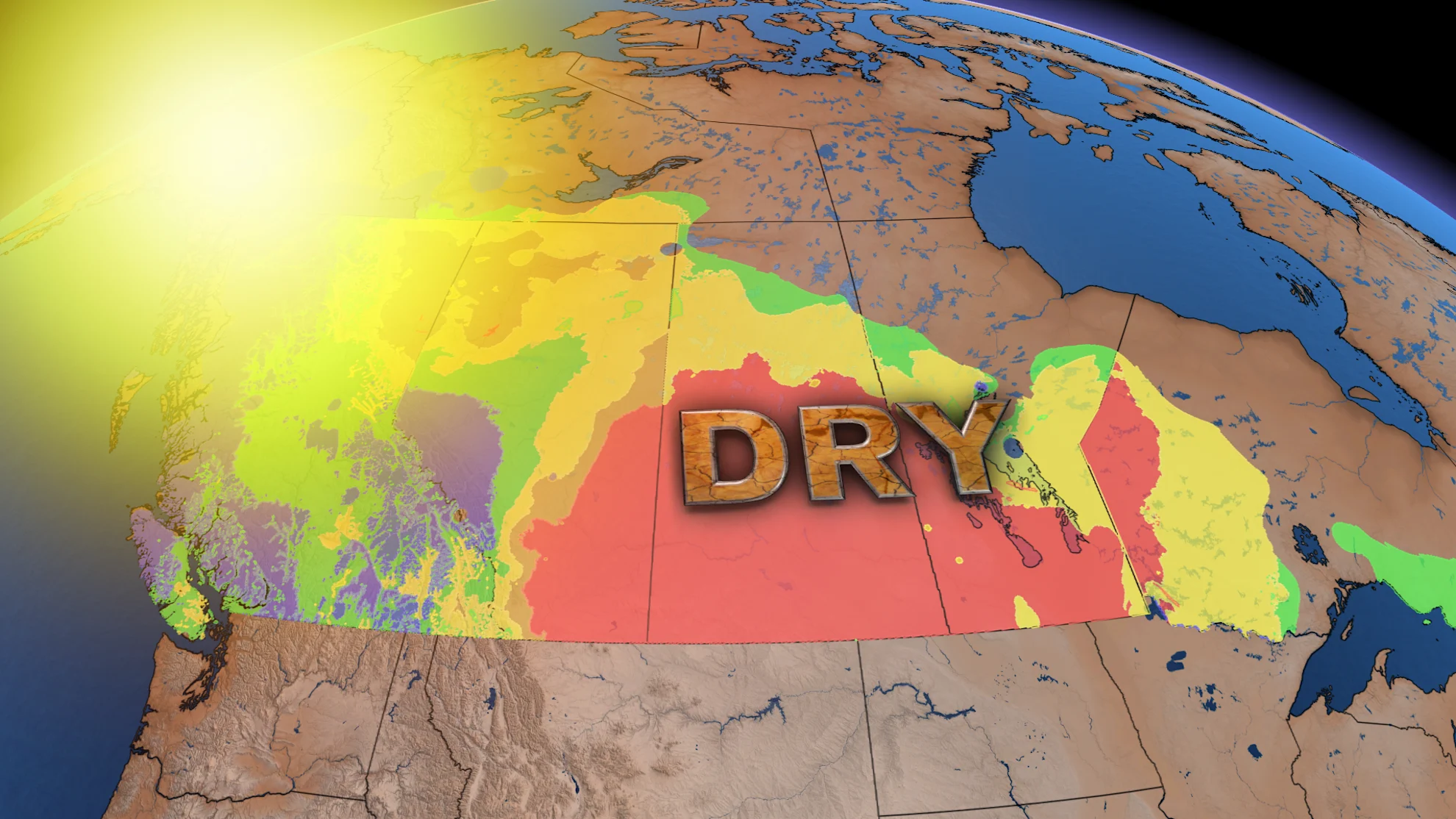
The recent dry conditions and high heat in B.C. and parts of the Prairies have fuelled a dangerous wildfire threat across much of the region. Evacuation orders expanded through central and northern Alberta on Tuesday, with Athabasca County declaring a state of local emergency to deal with the situation.
STAY SAFE AND INFORMED: The Weather Network's wildfire hub
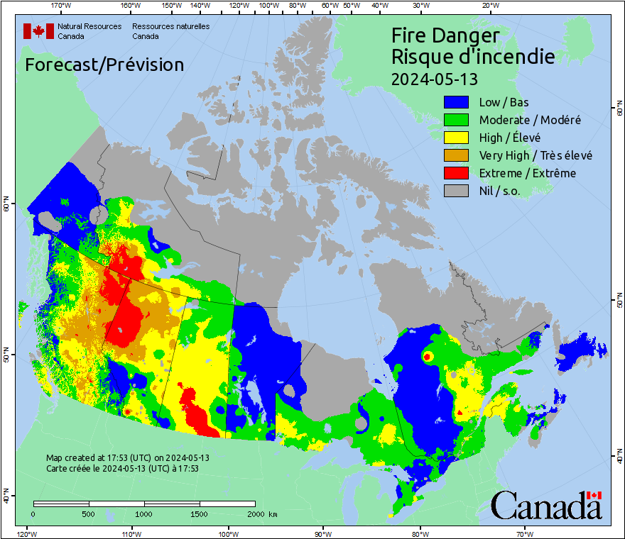
There is an 'extreme' fire danger rating across a good portion of the southern Prairies that will continue into the weekend as dry and parched conditions persist. Sections of B.C.'s Interior and southeast also have a 'moderate' to 'high' fire danger rating at this time. Wildfires can start very easily under these rain-starved conditions.

Canada has had more than 11,700 hectares of land burned to date in 2025, with officials citing human activity as one of the leading causes of spring wildfires.
RELATED: Wildfire threat prompts evacuation order for Boyle, Athabasca County
"We urge people to refrain from conducting any open burning during this period of elevated fire danger. Please check your local weather forecast before resuming open burning this spring," said BC Wildfire Service, on its website.
Major lack of precipitation across Western Canada
Precipitation has also been severely lacking for much of Western Canada this year. Below normal amounts have been seen in almost every major city so far, and since the growing season began on April 1 to present. There are a few locations in the south that have had normal, or slightly above normal precipitation, but those regions are quite spotty.

Many areas north of the Trans-Canada Highway have seen less than 40 per cent of normal precipitation since April 1. Spring and early summer are critical times to set the stage for the wildfire season, with precipitation greatly needed during this timeframe.
Warm and dry pattern continues, with signs of showery weather finally ahead
A relatively dry week will continue across much of the Prairies, with temperatures remaining warmer than normal through the end of the week, as well.

Mid-summer-like heat is expected for southern Saskatchewan and southern Manitoba to end the weekend, with widespread temperatures into the upper 20s and lower 30s forecast on Sunday. A few spots could even reach the mid-30s at times.
SEE ALSO: Hot, dry, windy conditions prompt fire bans in across Saskatchewan
The focus of the warm weather will shift east next week, with temperatures trending closer to seasonal for western areas. A much more unsettled, and wetter pattern is also expected into next week, which will be much better news for agriculture and the heightened wildfire danger.
WATCH: Edmonton wildfire one of many burning in Alberta this spring
Instead of solely tapping into northern Pacific moisture, some moisture will start to be pulled in from the central Pacific, and even a bit from the Gulf of Mexico for the eastern Prairies.
This will hopefully increase the amount of moisture in the atmosphere, leading to more rain to help with the current drought situation.

Scattered rain showers will return to B.C.'s South Coast region by this weekend, as temperatures trend to the cool side of seasonal, as well. A few weak systems will bring in the light rain, but unfortunately with the risk of some lightning involved.
Cooler than seasonal temperatures are expected to dominate through mid-May across B.C., hopefully limiting the spread of future wildfires amid the hot and dry conditions.
Stay with The Weather Network for more information and updates on the wildfire season and weather patterns across B.C. and the Prairies.