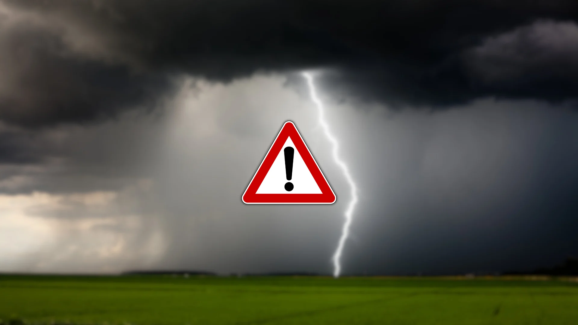
Severe weather likely on Sunday, one or two tornadoes possible
Expect several rounds of severe weather through the day Sunday
Severe thunderstorms are likely across portions of southern Manitoba and northwestern Ontario again on Sunday as an active pattern remains in place to close out the weekend.
Several rounds of thunderstorms are possible—one in the morning, followed by another in the mid-afternoon to early evening hours. One or two tornadoes are possible.
Keep an eye on the radar and stay aware of watches and warnings in your area. Know where to go and what to do if a tornado warning is issued for your location.
DON’T MISS: What is a mesoscale convective system? How an 'MCS' can spell danger
Severe weather likely on Sunday
Sunday will kick off with an early-morning mesoscale convective system (MCS) expected to develop stateside.

This organized line of thunderstorms will push into northwestern Ontario and head toward the Thunder Bay area. Expect this first round of storms between 8:00 a.m. and 12:00 p.m. local time.
A second line of severe thunderstorms will develop and approach the area during the afternoon hours.
Large hail, gusty winds, heavy rainfall, and one or two tornadoes are possible in these storms. The environment is favourable for rotating thunderstorms near the international border, including Fort Frances and Atikokan.

STAY SAFE: Tornado warning safety: Here’s what you should do
There remains some uncertainty in the timing and coverage of the lines of storms in northwestern Ontario, as they depend on the timing of the cold front’s arrival and the atmosphere’s ability to destabilize itself amid the wildfire smoke over the region.
Folks across southern Manitoba, including Winnipeg, could see severe thunderstorms fire up beginning Sunday afternoon as a low-pressure system moves into the region. The main hazard from this cluster of storms will be large hail and heavy rainfall.
Stay with The Weather Network for all the latest on this evolving severe weather threat.
Header image created using graphics and imagery from Canva.