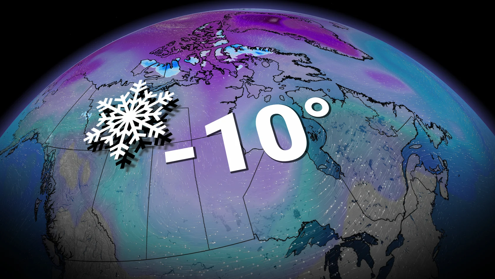
Ready or not, Canada notches its first -10°C of the season

The milestone arrives as summer (slowly) loses its grip
Canada has officially recorded a temperature below -10°C for the first time this season.
We’ve notched this milestone right around the point in the year when you’d expect to see the country’s first minus double-digit reading.
CANADA’S FALL FORECAST: Exceptional El Niño favours extended fall
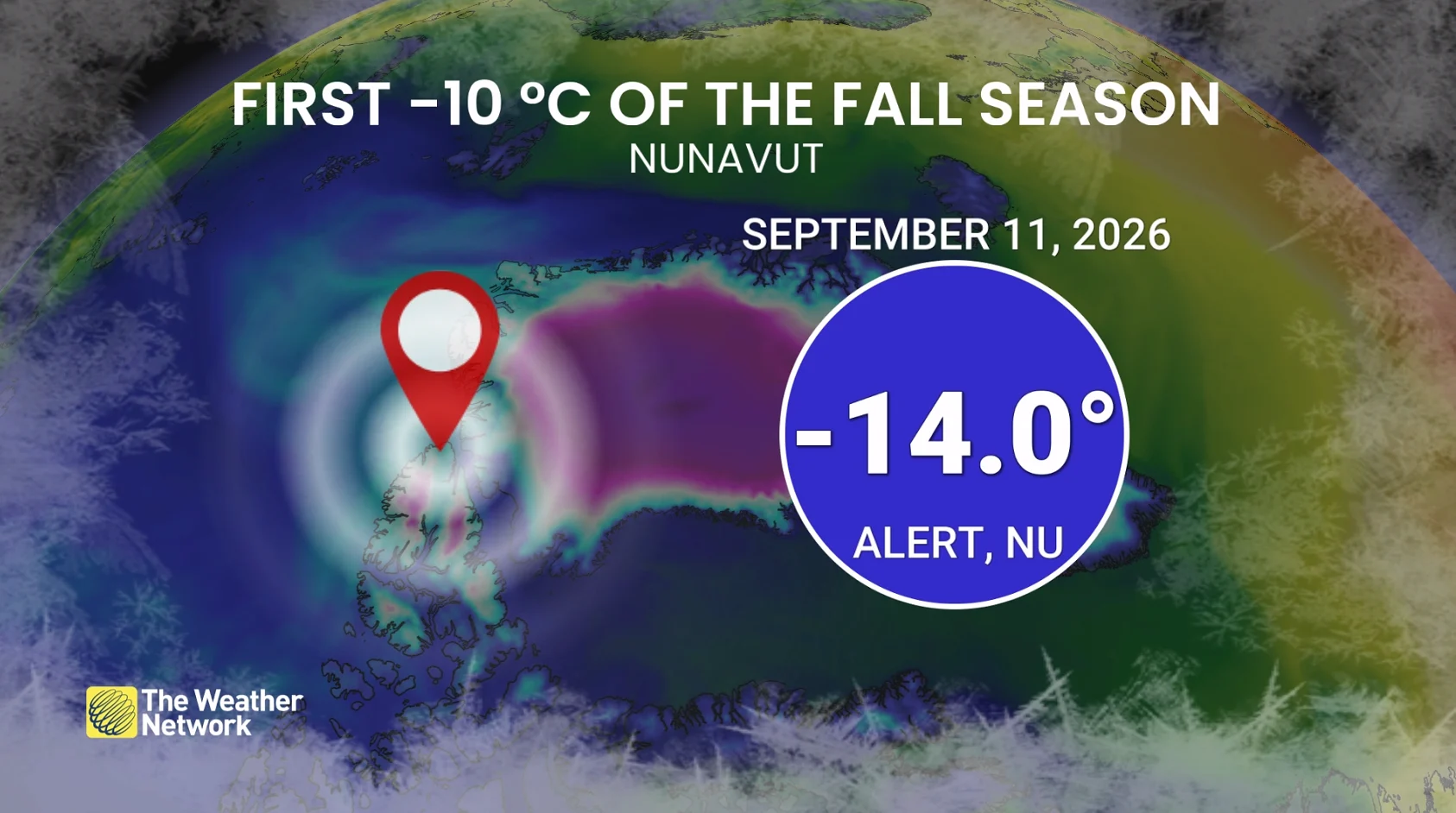
Alert, Nunavut, dropped to -14.0°C on Friday, Sept. 11. Located on northern Ellesmere Island, Alert is the world’s northernmost permanently inhabited place. The station there hasn’t gotten this cold so early in the year since 2017.
Communities throughout Nunavut are usually the first to reach this temperature milestone each year. The first minus-teens last year occurred on Sept. 8 in Isachsen, while the first such reading in 2024 arrived in Eureka on Sept. 18.
This won’t be the region’s last cold intrusion, either, as additional bouts of cold air spill down from the North Pole.
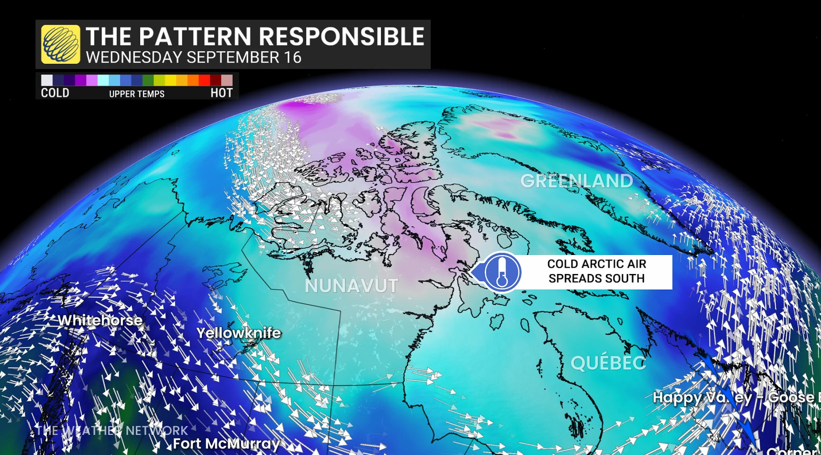
When can we expect that level of chilly air to begin dipping southward? This year may feature an extended wait as an unusually mild autumn is expected throughout much of the country.
During a typical year, however, here’s how this winter-like chill typically progresses.
Yellowknife typically sees its first -10s by the middle of October, while folks in Edmonton, Calgary, Saskatoon, and Regina typically reach that point by the end of the month.
November sees the chill move farther south, usually arriving in Winnipeg early in the month before pushing toward Ottawa and Montreal a few weeks later.
Toronto’s southerly location and the marine-tempered air around Halifax and St. John’s places these major cities among the last to hit the minus double-digits during the month of December.