Stagnant pattern sees storm risk linger in parts of Ontario Tuesday
A slow-moving low will spiral another risk for unsettled weather and thunderstorms in parts of Ontario on Tuesday
Southern Ontario's dreary start to the week will hang on Tuesday, with the focus on eastern and northeastern Ontario areas where there is a risk of thunderstorms.
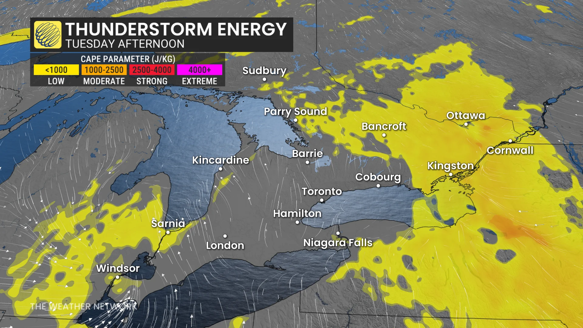
A favourable setup for thunderstorms exists stateside, so there is a chance some of the cells could sneak across the border into eastern Ontario by late Tuesday afternoon or early evening. Larger hail and heavy downpours are the main risks for areas stretching from Kingston into Ottawa, Ont.
DON'T MISS: Blocking pattern to dictate Canada’s weather this week
Keep a close eye on highway conditions and weather alerts in your area as you go through the day.
Tuesday sees another day of showers, storm risk
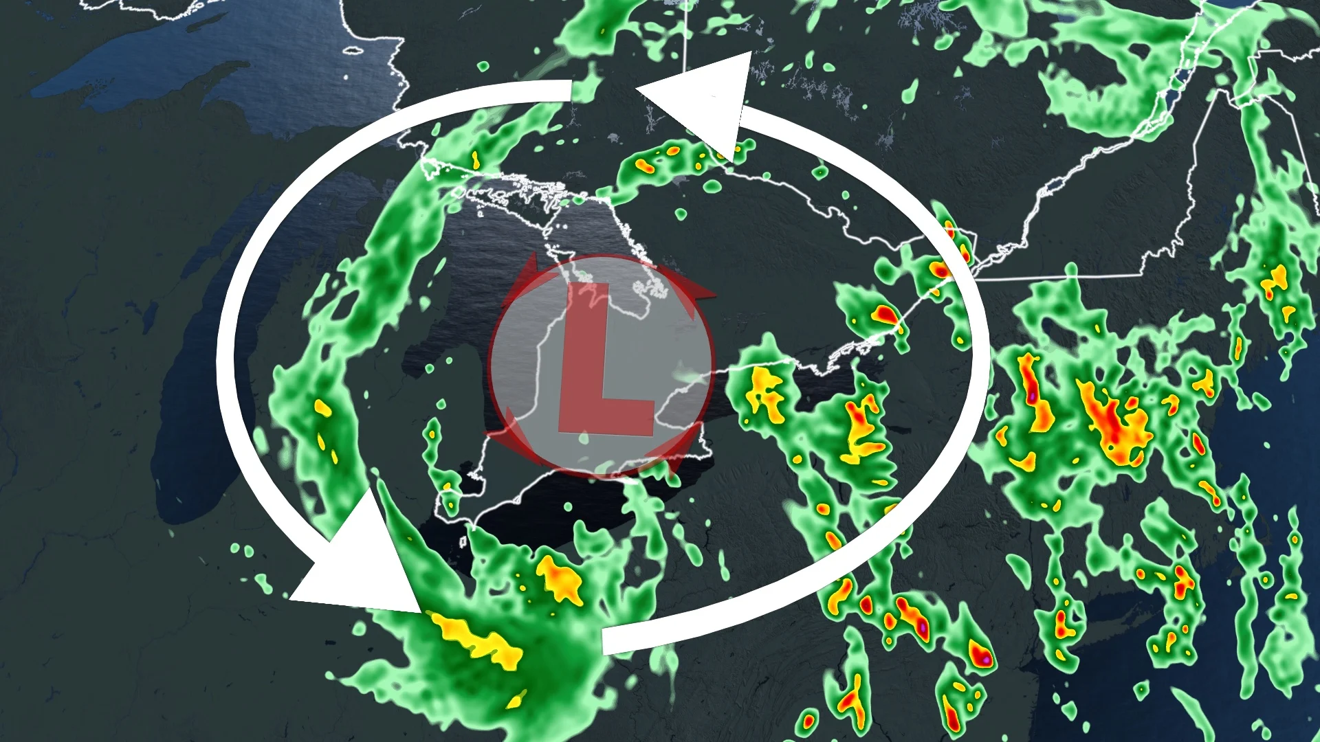
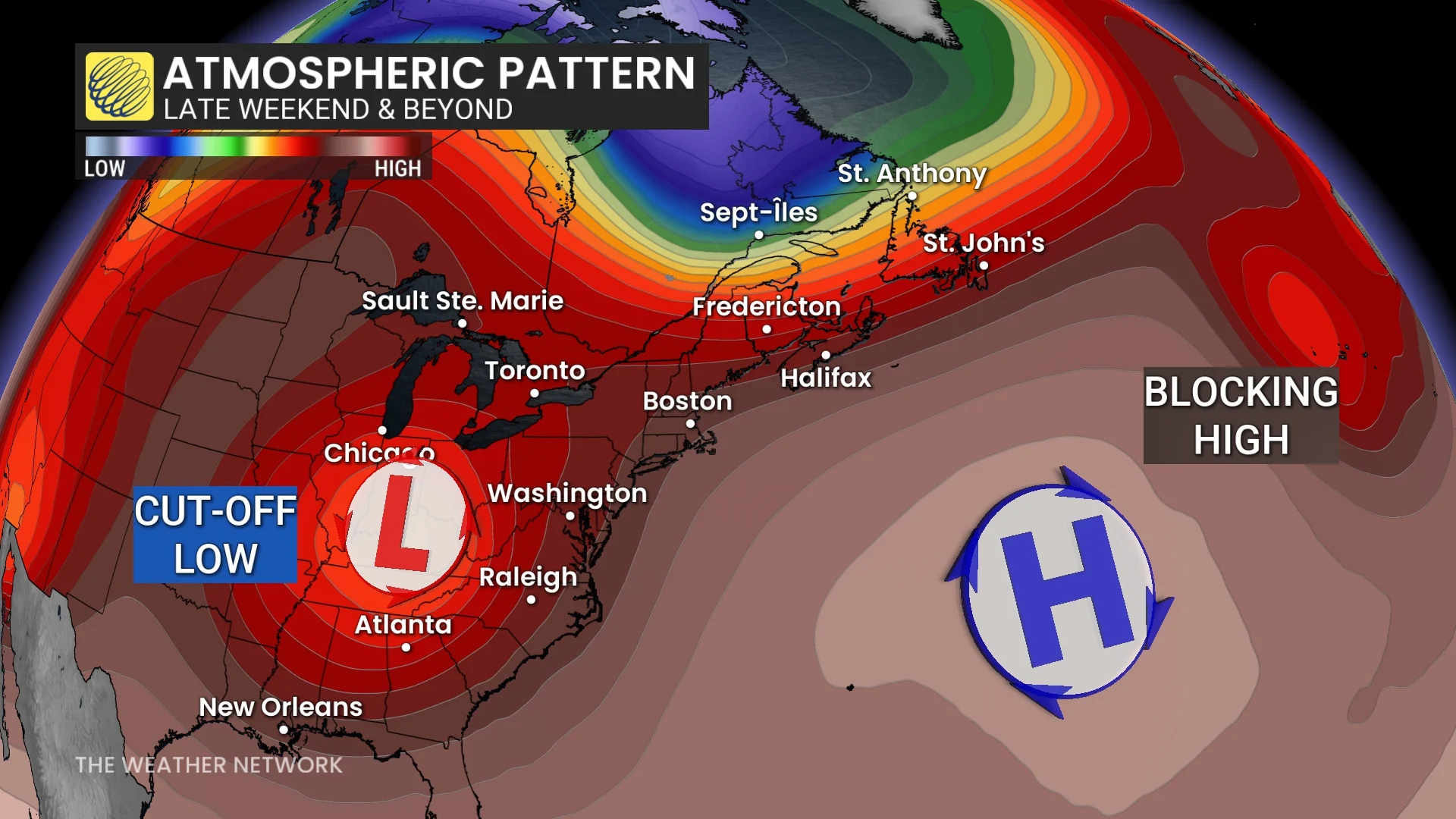
A cutoff low is a low-pressure system that stalls out because it’s severed from the jet stream. These systems are responsible for multiple days of gloomy weather—and the occasional strong to severe thunderstorms.
Tuesday will see some hit-and-miss showers during the morning in the Greater Toronto Area (GTA) and Niagara region, but a heavier rain and thunderstorm risk exists across northeastern and eastern Ontario.
Forecasters will watch storms that develop stateside and track northwards across the border during the late-afternoon and evening periods. Larger hail and heavy downpours are the main risks for areas from Kingston into Ottawa.
By Wednesday, the low will continue its departure east into Quebec. A band of moderate rain is likely through central or eastern Ontario, including Ottawa.
The GTA and southern Ontario can expect yet another day of clouds and possibly a late-afternoon, passing shower.
A cold front from northeastern Ontario will take quite the bite out of temperatures on Wednesday as well, with places like Timmins going from 21°C to just 7°C.
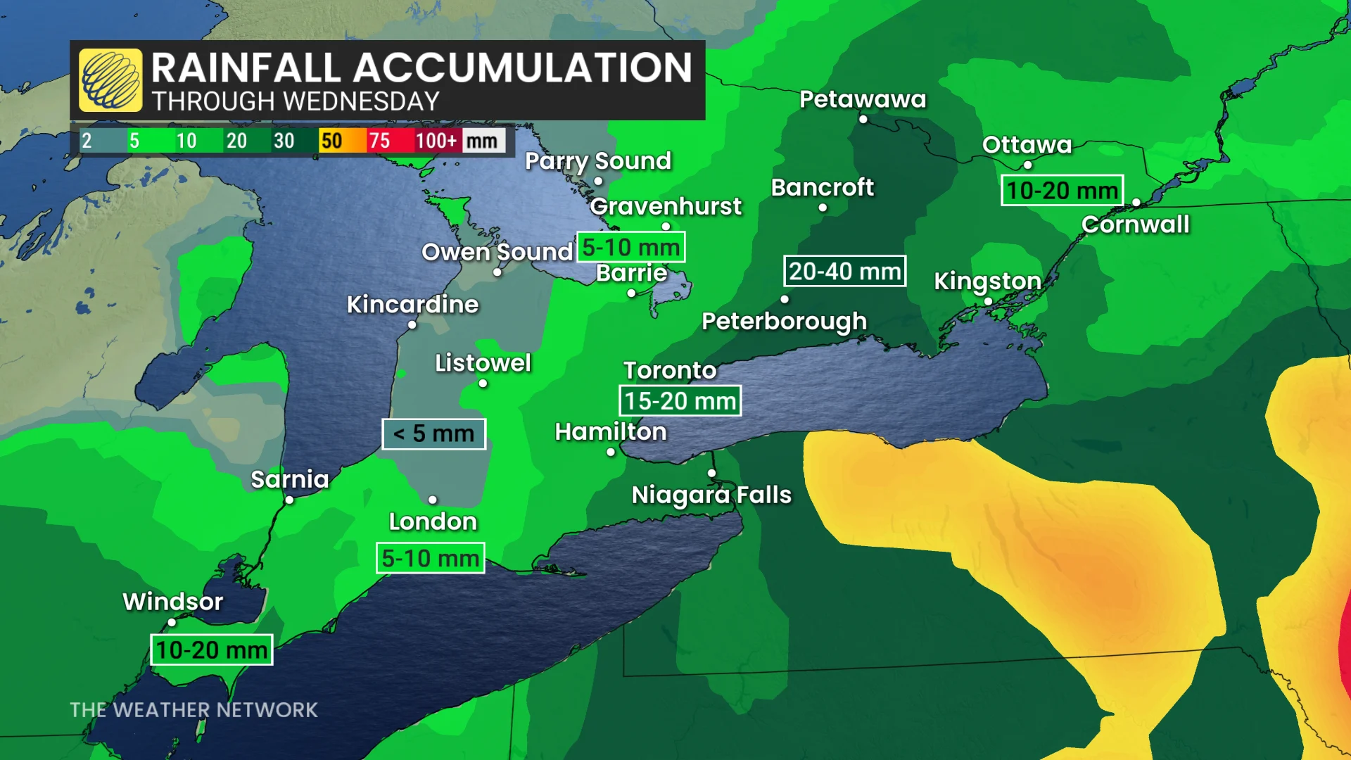
Rainfall totals throughout southern Ontario will vary significantly over the next couple of days due to thunderstorm activity and showers forming into bands.
General totals of 10-20 mm are a good bet for most communities, with lower totals toward Lake Huron and amounts as high as 40 mm across parts of eastern Ontario.
Cherry blossoms are in peak bloom
Weather plays an important role in the cherry blossom season—both for the flowers themselves, and for folks hoping to see them in all their beauty.
Cherry blossoms in High Park are currently in peak bloom, which is similar to the 2022 cherry blossom season, which saw a peak bloom between May 5-12. This season’s bloom is nowhere near the latest on record, which saw a peak between May 12-21 back in 2014.
The earliest peak bloom on record occurred between April 10-17, 2012, thanks to record warmth early that spring.
Stay with The Weather Network for all the latest on conditions across Ontario.