Severe storm chance bubbles up on parts of the Prairies, northern Ontario
A low-pressure system affecting southern Manitoba and northwestern Ontario could bring thunderstorms with heavy rain on Thursday. Some of the storms could become severe, with threats of large hail and strong winds
A large low-pressure system sweeping across the Prairies will bring multiple days of thunderstorm activity, with risks of heavy downpours, strong winds, and large hail. Forecasters are also monitoring the potential for rotating storms on Thursday.
DON'T MISS: Summer Sneak Peek: El Niño may split Canada’s summer in two
Weather Highlights:
Wednesday overnight thunderstorm risk on the eastern Prairies
Severe thunderstorms on Thursday could bring large hail and strong wind shear to southern Manitoba, and track toward northwestern Ontario
The stalling low will bring prolonged rounds of rain and embedded thunderstorms to northwestern Ontario through Friday
Rounds of thunderstorms target the Prairies and northern Ontario through Friday
One area to watch through Wednesday overnight will be southern Manitoba, including Winnipeg, where a cluster of thunderstorms from North Dakota could move north.

These storms may bring lightning, heavy rain, and nickel-sized hail.
By Thursday, the severe thunderstorm risk shifts to southern Manitoba and northwestern Ontario.
SEE ALSO: Don’t make this deadly mistake when waiting out a storm

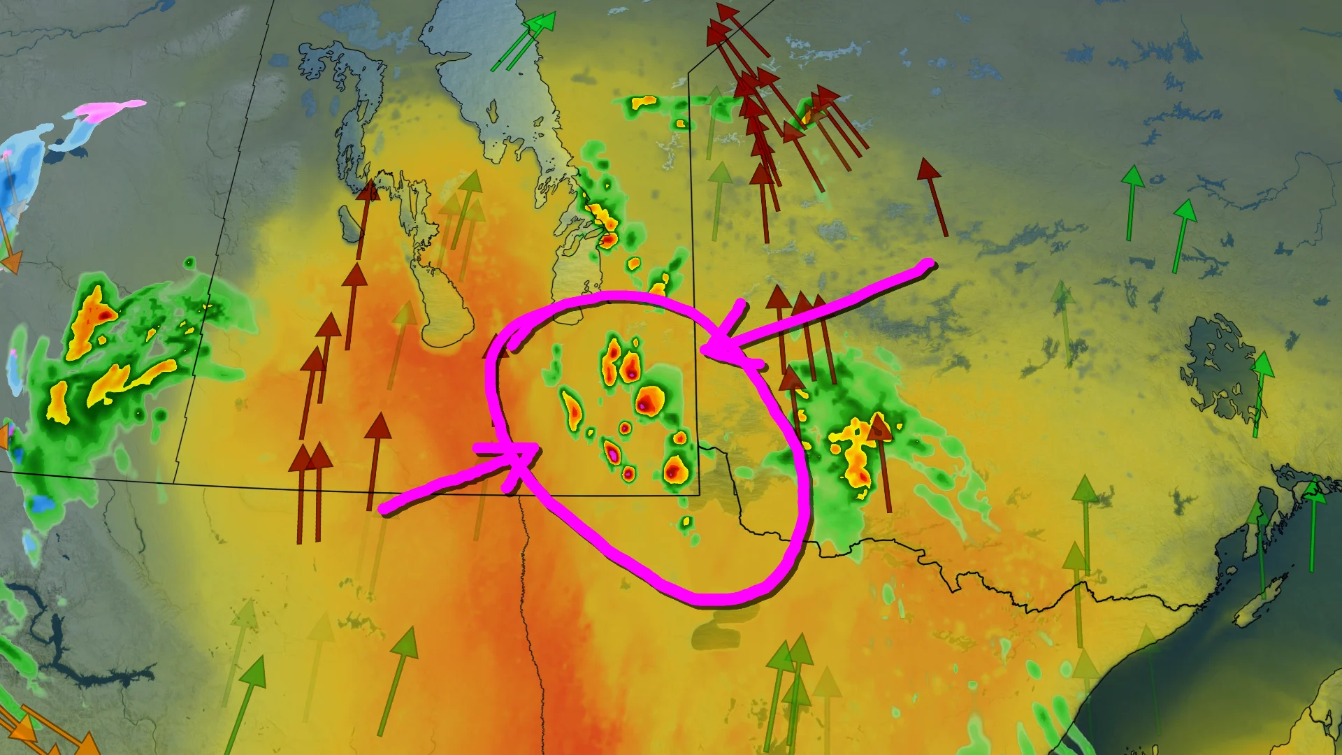
Southeastern Manitoba could see large hailstorms due to high thunderstorm energy and strong wind shear, with rotating thunderstorms possible near Little Grand Rapids.
The main focus for severe storms will be between Winnipeg, Man., and Kenora, Ont., through Thursday afternoon.
As well, there will be a chance for funnel clouds near the Saskatchewan-Manitoba border, but it is not associated with a tornado threat.

Additional thunderstorms are expected along the cold front in northwestern Ontario by late Thursday afternoon into the evening, potentially bringing heavy rain, high winds, and large hail.
Storms may persist into Friday morning.
The low is expected to stall, keeping northwestern Ontario under rounds of rainfall and embedded thunderstorms through Friday. Rainfall amounts may total 20–50 mm.

SEE ALSO: Travel alert: 50+ cm of spring snow targets parts of the Prairies this week
Stay tuned to The Weather Network as we continue to update the forecast for the Prairies and northern Ontario.