Potential for 50+ cm: Hazardous winter storm threatens parts of Ontario
Fans of snow and warmth will both have a place to be pleased in Ontario for the coming days, with temperatures nearing 20°C and 40-50+ cm of snow--all in the same province.
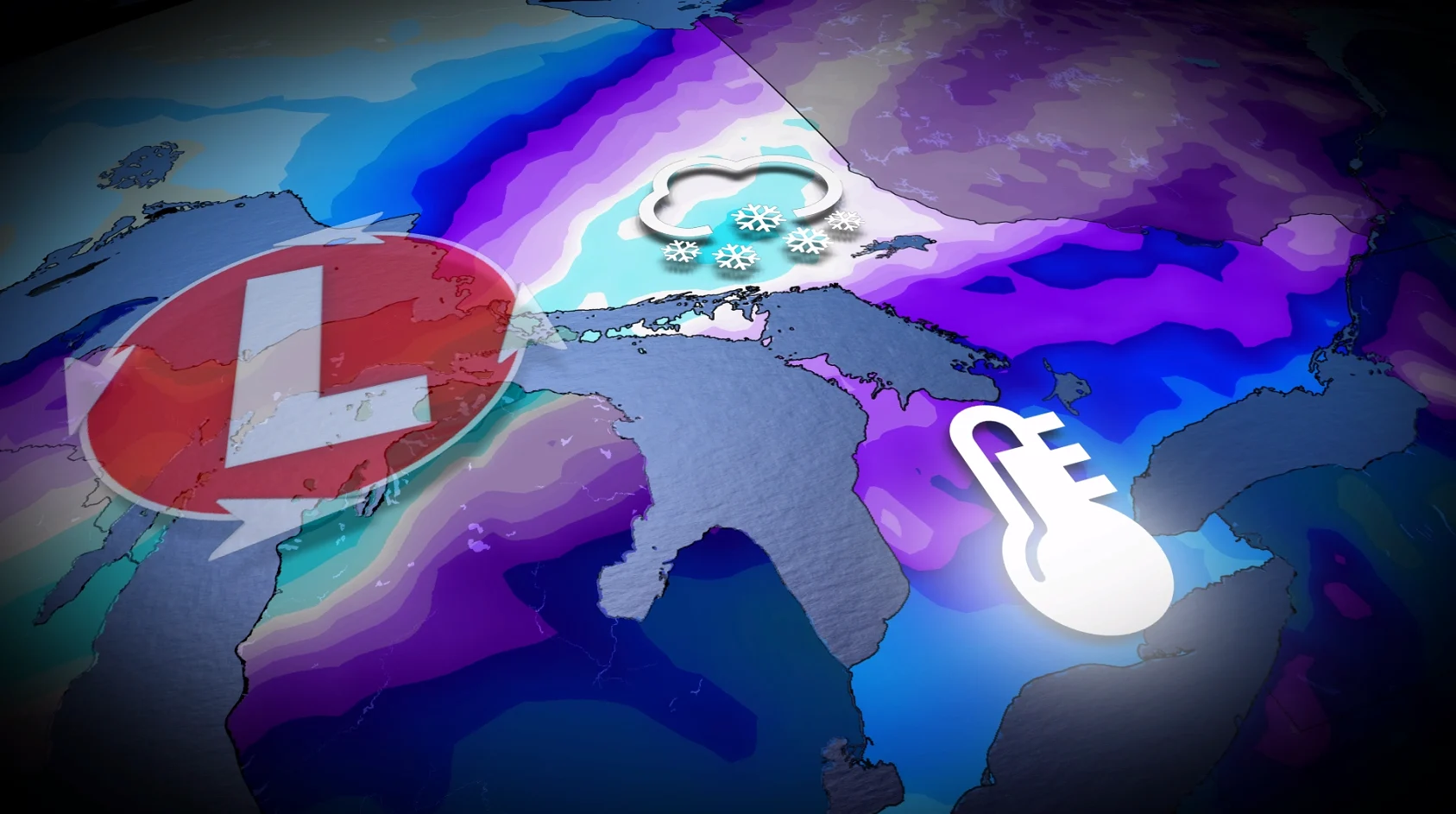
A significant winter storm will strengthen and track toward Ontario on Sunday, delivering a mix of snow, ice, rain, and strong winds into early next week.
The major system will bring heavy snow to northern parts of the province and a chance of blizzard conditions for areas along the Trans-Canada Highway in northeastern Ontario.
DON'T MISS: A potentially strong El Niño will develop by this summer
Blowing and drifting snow, coupled with gusts between 50–90+ km/h, will likely make travel impossible through Monday. Road closures are likely. In fact, most of Ontario can expect a threat of strong-to-potentially damaging winds as a result.
Be sure to check back for the latest forecast updates as this system develops, and keep an eye on the road conditions before heading out.
Sunday: Major winter storm develops, with blustery winds, snow and ice
A deep Arctic air supply across the eastern Prairies, paired with exceptionally mild air across the southern U.S., will provide the perfect environment to rapidly develop a low-pressure system throughout Sunday.

The Colorado low will have a noteworthy low-pressure, likely near 980 hPa by Monday. That means most of Ontario can expect a threat of strong-to-potentially damaging winds.
Snow will spread across southern and central Ontario Sunday as the storm’s warm front lifts northward.
Brief bursts of wintry weather is forecast for eastern Ontario and cottage country. A few cm of snowfall forecast for the Greater Toronto Area (GTA), with approximately 5 cm forecast near Georgian Bay.

A brief period of ice pellets and freezing rain is also possible just south of the warm front’s precipitation boundary, potentially slipping across southern Ontario Sunday. It will then bring a more persistent ice to the Nickel belt Sunday night into Monday.
Gusty, easterly winds are the theme on Sunday--with sustained winds of 40 km/h near the shorelines and gusts exceeding 70 km/h possible for Georgian Bay, Lake Huron and western Lake Ontario.
Snow becomes steadier for northeastern Ontario with difficult travel anticipated by the evening, in locales stretching from Sault Ste. Marie to North Bay.

Highway 17 will increasingly become more dangerous, and travel on this route isn't advised from Sunday evening through Monday.
By Sunday evening, snowfall rates of 3 to 5 cm an hour will be possible near Sault Ste. Marie, with blowing snow and localized whiteout conditions.
Monday: Warmth in the south as the mercury climbs, snow continues in the north
As temperatures begin to climb in southern Ontario on Sunday night, conditions continue to worsen in northeastern Ontario.

After midnight, a wintry mix develops east of Elliot Lake (freezing rain, ice pellets), creating unique hazards and slick conditions--limiting snowfall accumulations for Sudbury and the North Bay regions.
Wind gusts reach up to 90 km/h along the Lake Superior shoreline and up to 80 km/h along the Lake Huron shores across southern Ontario.
Southern Ontario will see rain and mild temperatures Monday, with daytime highs reaching the low double digits.

Communities such as Chapleau and Timmins could see 40-50+ cm of snow by Monday night, with 30+ cm expected in areas like Kapuskasing and Sudbury. Kirkland Lake, Elliot Lake, and New Liskeard are all forecast to see 30-40+cm of snowfall.
Highways 11, 17, 101, 129, 144 and 631 are expected to see hazardous travel conditions throughout much of Monday.
Conditions decline near Timmins, and the heaviest snowfall pivots across the community with widespread blowing and drifting snow.

This system is forecast to challenge the massive snowfall that occurred on Dec. 29, 2025 (approximately 50 cm).
Blizzard conditions are forecast near Lake Superior, from Wawa to Sault, as sustained, northerly winds peak to 40-60 km/h and gusts approach 100 km/h.
Temperatures will drop Monday night, with wind chills reaching the -20s in the north and minus teens in the south.
Milder conditions are expected to push west to east across the region later next week, but they may face resistance. This is likely to result in fluctuating temperatures as late March approaches.