November blows into B.C. in a windy, rainy and snowy fashion
A fresh storm sweeping into British Columbia will kick off November with a windy, rainy, and even snowy gloom
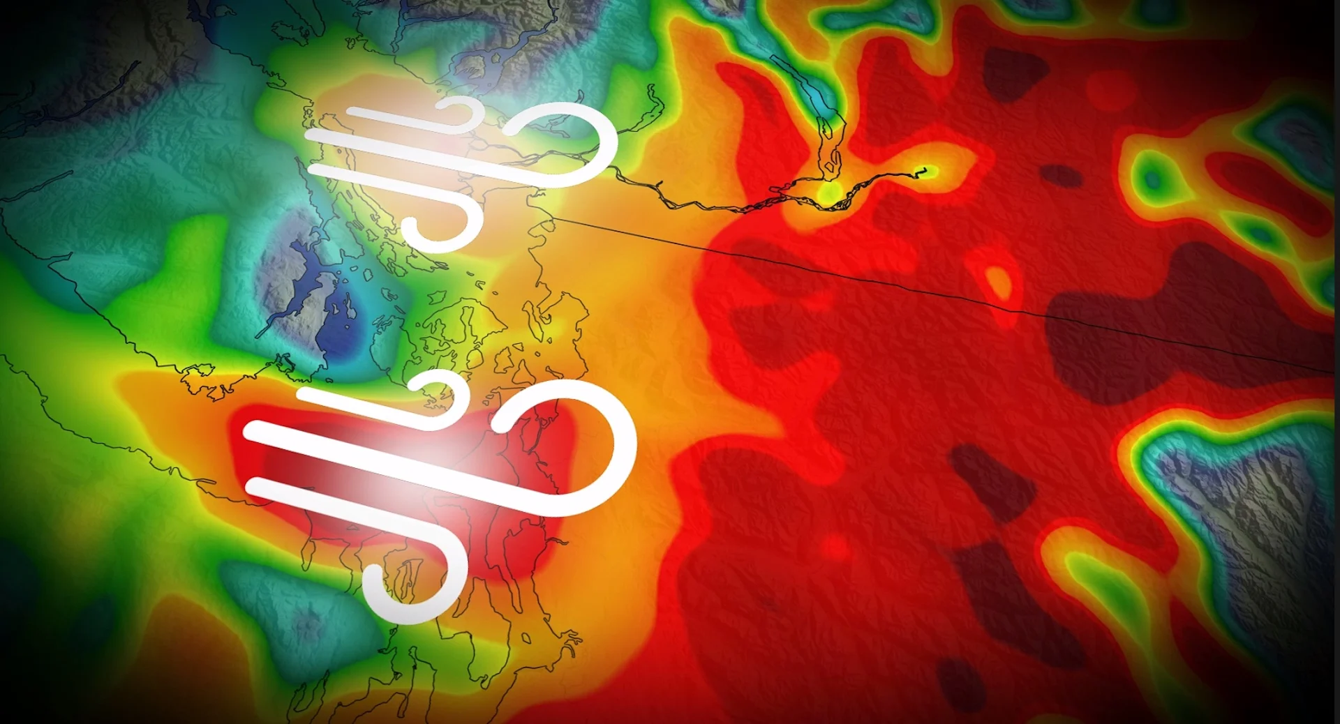
B.C. is under the influence of yet another low-pressure system rolling into the coast, with November kicking off on a rather gusty and rainy note.
Intense wind gusts, heavy rainfall and copious alpine snowfall amounts will accompany the latest system, making for a dreary and impactful start to the month this weekend. Expect some disruptions to travel, including potential ferry delays, and possibly minor power outages, as well, on Saturday.
DON'T MISS: Atmospheric rivers becoming so intense we need to rank them like hurricanes
Gusty winds will accompany the rainfall, with heavy snow for the mountain passes
As the low-pressure system crosses southern B.C., gusty winds peak late Saturday morning across the South Coast, including the Lower Mainland.
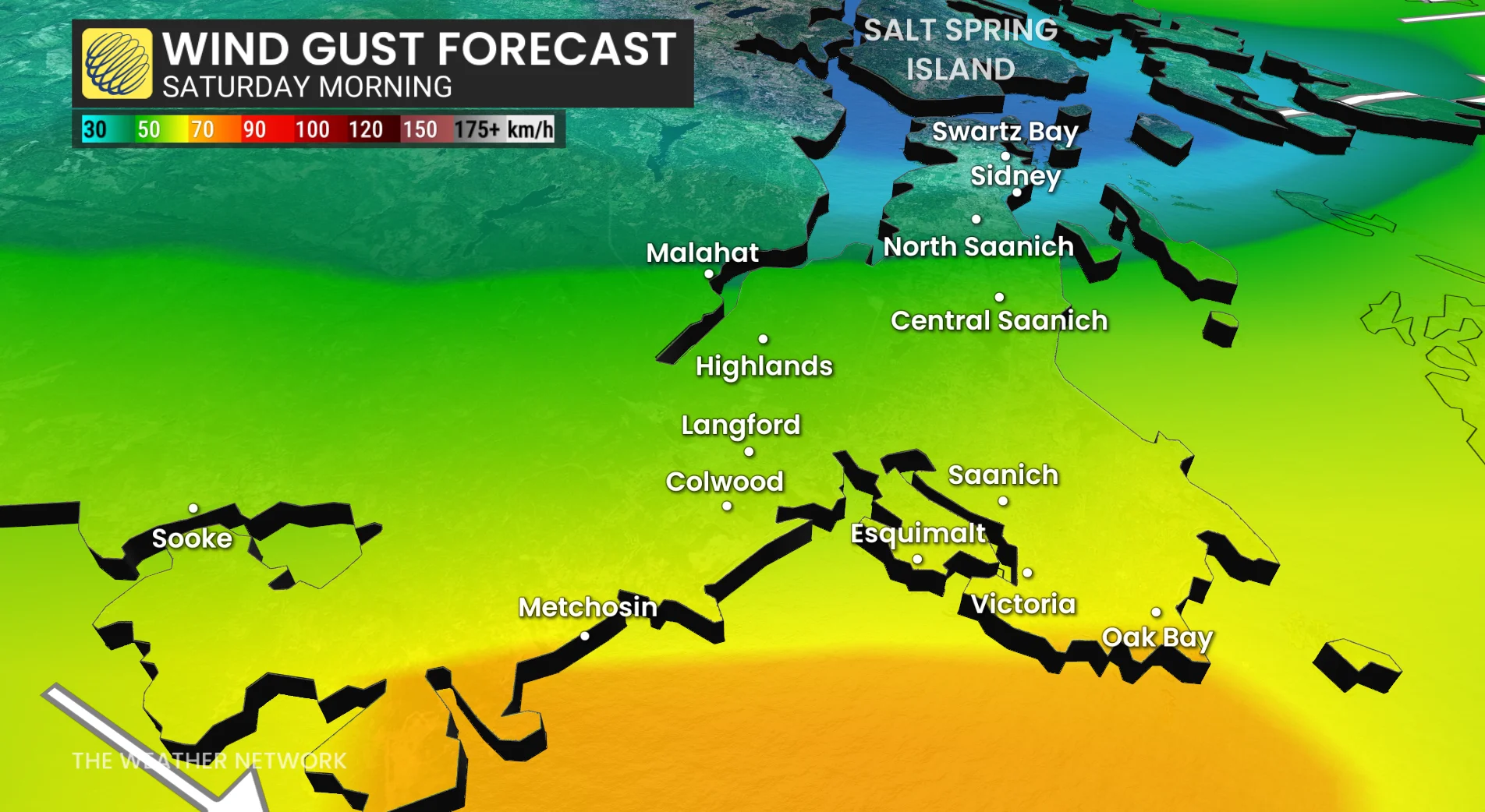
Westerly wind gusts could locally reach up to 70 km/h near Victoria, spreading into the Fraser Valley by early Saturday afternoon. Wind gusts exceeding 60 km/h are possible across the western beaches of Vancouver.
Bursts of heavy rain will also continue, tapering to showers Saturday afternoon, with up to 30 mm of additional precipitation forecast through the day.

Meanwhile, heavy snowfall pummels Whistler throughout the day, with freezing levels below 2000 metres north of the low's track. Dangerous travel is expected for Rogers Pass and Kicking Horse, with more than 20 cm of snowfall possible.
Pooling and ponding are possible in low-lying areas, including the risk of hydroplaning.
Ferry delays are possible in spots as the gusty winds blow through the region. Isolated power outages are also possible.

Ensure loose objects and outdoor decorations are safely secured before the winds arrive.
Beyond, the active pattern will continue for the South Coast of B.C. with a parade of systems tracking in for next week and beyond.