The East Coast faces more disruptions as major nor'easter continues
Expect more travel disruptions, closures and cancellations in Atlantic Canada Tuesday as a powerful nor'easter continues to bring impactful snow and winds
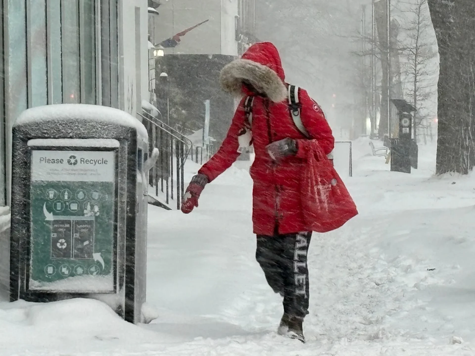
Atlantic Canada had a rough start to the week as a powerful nor'easter pushed across the region with hefty amounts of snow, blustery winds and blizzard conditions for some.
But the storm impacts will continue into Tuesday for many in the region as the nor'easter also reaches farther into Newfoundland with heavy snow and strong winds. It will likely be one of the most impactful storms of the season for Nova Scotia, or the Maritimes as a whole.
DON’T MISS: A winter storm’s track can make or break your forecast

Prepare for tough to impossible travel again on Tuesday with snow lingering for many, and brace for more school and business closures, as well as possible power outages.
Major nor’easter continues its trek across Atlantic Canada on Tuesday
Forecasters have seen the system moving faster and a little farther north, which has sped up the timeline of hazardous conditions and likely exposed more communities to bountiful snows.
Some of the snowfall totals recorded so far as of Monday evening local time:

Greenwood: 13 cm
Halifax area: 14 cm (much higher drifts)
Saint John: 8 cm
Halifax airport: 5 cm
Yarmouth: 5 cm
Moncton: 4 cm
RELATED: What is a 'weather bomb'?
Heavy snowfall rates continue through early Monday evening across coastal Nova Scotia, but conditions will become a wintry mix and changeover to rain, limiting totals along the immediate coastline.

Wet snow over inland areas lingers through the overnight period. High tide through the overnight may also lead to some localized, coastal flooding with lower pressure and large waves.
Overall, a widespread 20-40 cm of snow is forecast across Nova Scotia.

Close to 30 cm is forecast for Halifax, 20-30 cm for Greenwood/Annapolis Valley, 20-30 cm for the North Shore, and approximately 20 cm for Sydney--with higher amounts for western Cape Breton.
Eastern New Brunswick and western P.E.I. gets their heaviest snow through Monday overnight, with a potential for whiteout to blizzard conditions.
Bursts of snow continue near and surrounding the Northumberland Strait. Blowing snow risk continues along the exposed, coastal areas.
The storm will lift toward Newfoundland overnight Monday and into Tuesday morning, bringing significant winter weather impacts to central portions of the island. Whiteout conditions and school and flight cancellations are likely here, as well.

A transition into rain is expected across the Avalon Peninsula on Tuesday afternoon, with 10-15 cm of snow forecast through Wednesday. Some additional snowfall can be expected due to a lingering trough.
Dangerous travel is expected for the evening commute. Prepare for more school and business closures on Tuesday. Flight cancellations are almost certain. Power outages are possible. High winds paired with high tides may also lead to coastal flooding in some locations.
So far, this has been St. John's snowiest February since 2006.

SEE ALSO: Car stuck in a snow pile? Proceed with caution
St. John’s snowiest month on record is currently 173.4 cm, recorded in December 2000, and is likely to break that over the coming 24 hours. With 376.4 cm of snowfall, St. John’s has passed the average annual snowfall (approximately 360 cm).
Major U.S. impacts could affect Canadian travellers
South of the border, this is likely going to be the largest snowstorm in Philadelphia and New York City since the nor’easter of January 2016.
According to the U.S. National Weather Service's Weather Prediction Center, the following snowfall totals have been recorded as of Monday evening:
New York City
Central Park: 49 cm
LaGuardia Airport: 38 cm
Newark, N.J.
69 cm
Philadelphia, Pa.
36 cm
Extreme totals
Warwick, R.I.: 92 cm
North Kingstown, R.I.: 89 cm
Berkley, Mass: 79 cm
Central Islip, N.Y.: 79 cm
New York City's mayor, Zohran Mamdani, issued a travel ban across the metropolis on Sunday night, lasting until noon Monday.
Stateside flight cancellations will likely have big impacts for Canadian travellers. New York’s LaGuardia and Newark airports rank among the busiest airline routes from Toronto, Montreal, and Halifax.
Stay with The Weather Network for all the latest on your forecast across Atlantic Canada.