Nor'easter threatens heavy snow, blizzard conditions over Atlantic Canada
Nor’easter to bring heavy snow and strong winds to Atlantic Canada starting Sunday
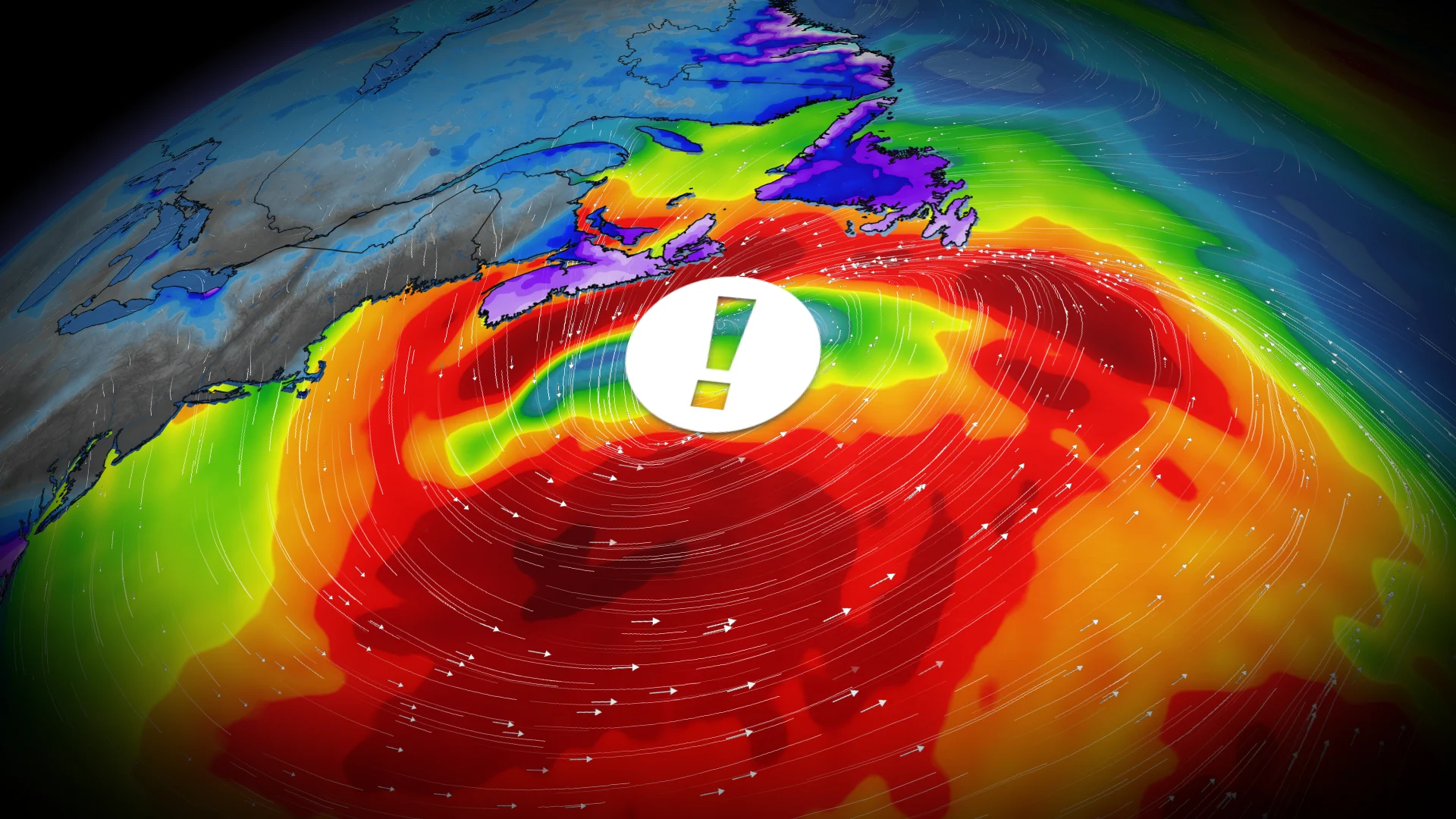
All eyes are on the next powerful East Coast system as it stretches from the Carolinas through to Atlantic Canada. A nor’easter is forecast to affect the Maritimes from Sunday afternoon through Monday morning, extending to Newfoundland on Monday into Monday night. While the storm's exact track and local impact remain uncertain, there is potential for a high-impact event.
DON’T MISS: Science behind the weather: The infamous nor'easter
Regions in the storm's path could see 20-40+ cm of snowfall, accompanied by strong winds, causing extensive blowing and drifting snow, as well as potential blizzard conditions. This storm may also meet weather bomb criteria.
Residents should monitor for potential weather warnings and updates on expected impacts.
Monitoring a powerful nor’easter heading towards Atlantic Canada
A strong East Coast system—commonly referred to as a nor’easter or weather bomb—will bring significant winter storm conditions this weekend, starting in the Carolinas on Saturday before tracking north toward Cape Cod, New England, and Atlantic Canada by Sunday.
Current forecasts indicate heavy snowfall and high winds for Nova Scotia, Prince Edward Island, southern New Brunswick, and Newfoundland.

The storm is expected to arrive late Sunday afternoon or evening, with snowfall rates of 2-3 cm/h combined with wind gusts of 60-90 km/h, creating dangerous blizzard conditions and whiteouts.
RELATED: What turns a snowstorm into a raging blizzard?
Impacts will worsen overnight as the system strengthens, and conditions will carry into Monday, when heavy snow and strong winds shift eastward into Newfoundland.

Travel disruptions, including school closures, are likely due to dangerous conditions and rapidly accumulating snow.
Snowfall accumulations are currently projected between 20 and 30+ cm for impacted regions, with Nova Scotia and Newfoundland anticipated to receive the highest totals.

Cold Arctic air will remain entrenched across Eastern Canada, fuelling the storm as it interacts with Gulf moisture along the Eastern Seaboard. Meteorologists continue to monitor the track, as minor adjustments could influence snowfall totals and regional impacts. Stay attentive to updates and local advisories.