Impactful weekend snowfall, high winds aiming for Newfoundland
The calendar has flipped to January, yet Newfoundland's active winter pattern has no signs of slowing down.
A relentless winter pattern continues to strengthen its grip on Newfoundland, with two more systems projected to bring new snow and poor travel conditions this weekend.
The snowy start to January comes after a busy December for much of the island, particularly in the eastern and central regions. While Friday provides some relief for many areas, forecasters say it will not last long before the next round of bad weather follows.
Snowfall patterns from last month help to explain why even minor systems are having a significant impact.
DON'T MISS: When is the coldest stretch of the year in your corner of Canada?
In St. John's, December ended with 94.2 centimetres of snow, the most since 2016. Gander received an even more impressive 158.5 centimetres, making it the snowiest December since 2007.
These numbers are significant heading into the weekend, as saturated snowbanks, reduced visibility and lingering road conditions set the stage for compounding effects.

First system brings messy start to the weekend
The first wave arrives late Friday night and early Saturday, bringing snow to parts of eastern Newfoundland, including the Avalon Peninsula.
Snowfall amounts from this system are expected to vary, but most communities on the Avalon could receive five to 15 centimetres by Saturday morning. Temperatures below freezing may result in wet, slushy snow, especially near the coast.
Blustery winds early Saturday may also result in localized blowing snow, but the risk of widespread whiteout conditions stays low with this initial system.
Conditions may improve briefly later Saturday, but forecasters say the focus quickly shifts to a more concerning storm developing to the south.

MUST SEE: What’s the snowiest month in your corner of Canada?
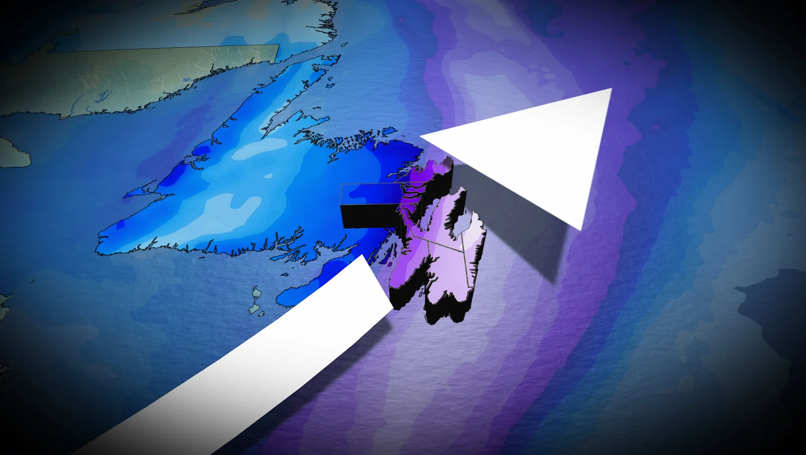
Second storm could pack a bigger punch Sunday into Monday
The second system is expected to form when two weather disturbances merge south of Nova Scotia on Sunday, helping the storm to rapidly expand as it moves toward Newfoundland.
While the exact track is unknown, there is growing confidence that parts of eastern Newfoundland, including the Avalon and Bonavista Peninsulas, will experience significant impacts Sunday night and Monday morning.

If the storm tracks close to Avalon, some areas may receive 20 centimetres or more of snow. Strong winds may accompany the snow, with gusts reaching 90 kilometres per hour, increasing the risk of near-blizzard or blizzard-like conditions.
Forecasters emphasize that minor changes in the storm's path will determine where the heaviest snow and strongest winds will fall, but residents are urged to keep an eye on updates.
Stay with The Weather Network for the latest updates across Newfoundland