Newfoundland to see wintry mess linger on Thursday, with more to follow
Motorists in parts of Newfoundland can expect dicey travel into Thursday as snow, freezing rain and rain linger
A messy storm making its way through Atlantic Canada will continue to impact parts of the region on Thursday.
A classic setup is taking shape with warm air rising over the cold valleys in Newfoundland, continuing to bring an extended period of freezing rain, possibly lasting 10-12 hours for some locales. Accretion amounts of 2-5+ mm are possible, while other areas could see snowfall amounts reach 10-15 cm.
RELATED: Freezing rain and ice pellets are dangerous winter hazards
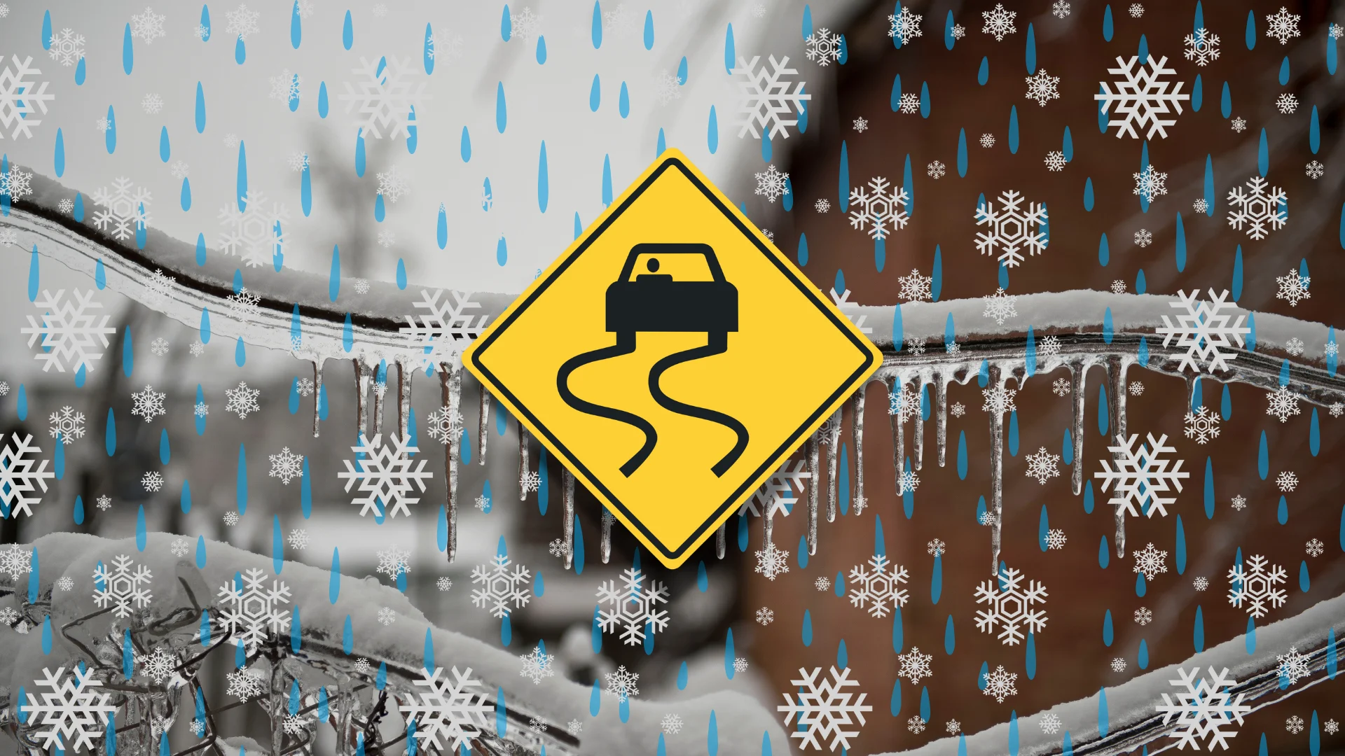
Messy road conditions are likely to affect your travel, so prepare ahead of time whether you're driving or flying.
Roads and walkways will likely be icy and slippery. Local utility outages are possible. Expect difficult, even hazardous travel in areas seeing heavy snowfall.
Wintry mess lasts into Thursday for Newfoundland
Flurries will linger in P.E.I. Thursday morning as the system moves into Newfoundland.

Newfoundland saw rain push into the Burin and Avalon peninsulas on Wednesday evening.
SEE ALSO: A winter storm's track can make or break your forecast
Farther inland, a classic freezing rain setup taking shape with warm air rising over the cold valleys.

Prolonged freezing rain could fall for 10-12 hours into Thursday morning. Accretion of 5+ mm is possible.
As a result, drivers can expect slick conditions during the Thursday morning commute.

Also, a bout of 10-15 cm of heavy snow is forecast in the west and north ends of Newfoundland, lasting into Thursday morning. Expect difficult travel during that time.
Weekend storm looms
Forecasters are watching for another system, a more significant and messy storm to arrive on the weekend. Low pressure tracking into southern Quebec will merge with a low that will develop off the coast of New England, and then rapidly intensify as it tracks to near southern Labrador.
The track and impacts are still uncertain, but widespread, windy conditions are likely with rain for the southern Maritimes, with a messy mix for Newfoundland. Heavy snow and potential blizzard conditions are possible for Labrador and into eastern Quebec.
Temperatures will be somewhat changeable, but overall, above seasonal through mid-January. Temperatures should trend colder, near seasonal or colder-than-seasonal, for the final 10 or more days days of January.
WATCH: Wintry mix and freezing rain hit Atlantic Canada
Stay with The Weather Network for more information and updates on your weather across Atlantic Canada.