Multi-day severe storm threat builds, thunder may push into Great Lakes
Thunderstorms may reach Ontario next week as a daily risk for severe weather pops up south of the border
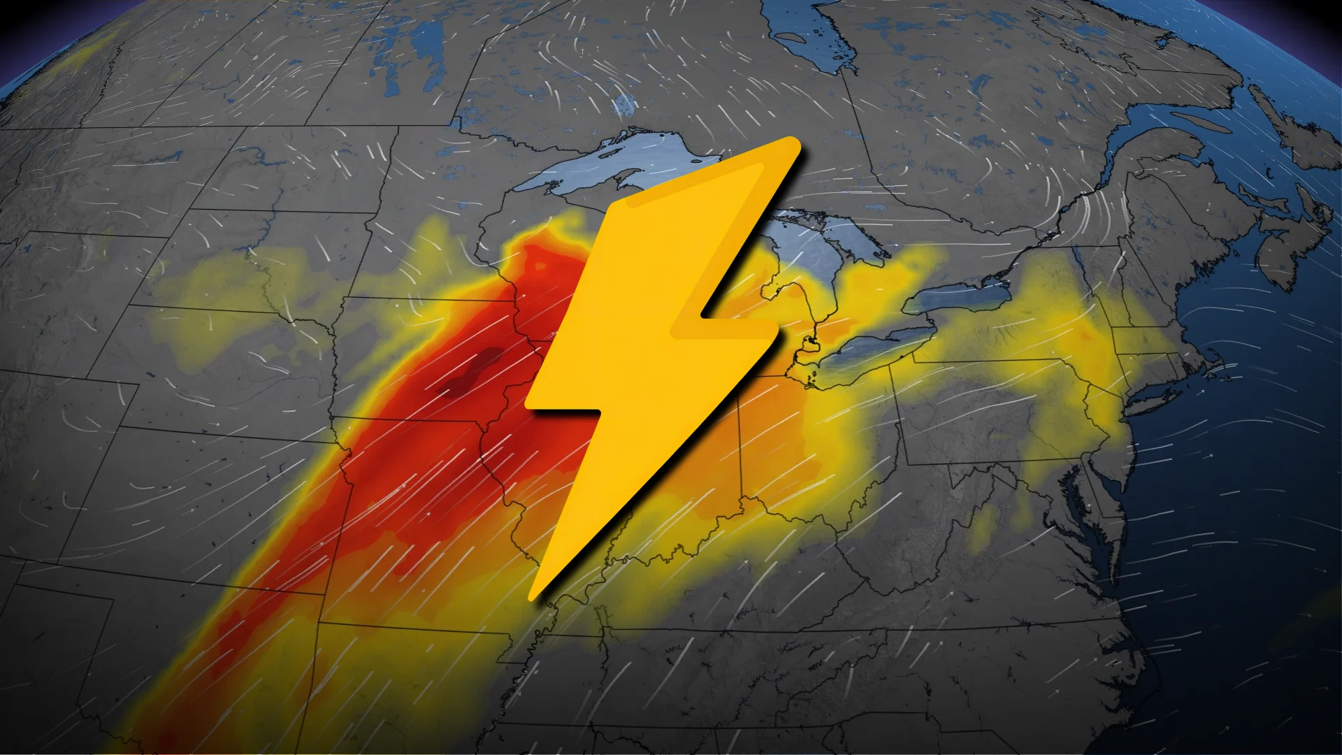
Severe weather season is ramping up on schedule south of the border as a multi-day threat for potent thunderstorms develops.
We could see a risk for thunderstorms push into the Great Lakes region by the middle of the week. Folks here should keep a close eye on the forecast in the days ahead.
DON’T MISS: Watch? Warning? How we communicate severe weather in Canada
Setup is ripe for days of thunderstorms
April is right around when you’d expect to see a near-daily risk for strong to severe thunderstorms at least somewhere in the U.S., and that’s exactly the pattern we’ll expect heading into next week.

A series of troughs swinging in from the west will provide the lift needed to support thunderstorms, which will feed off warm and humid air flowing in from the south.
The U.S. Storm Prediction Center (SPC) forecasts a daily risk for severe thunderstorms across the Plains states between Saturday and Wednesday. We’ll see the risk nudge east with time, eventually pushing toward the Midwest by the middle of next week.

Stronger storms could produce damaging wind gusts, large hail, and some tornadoes. This shouldn’t be a full-blown severe weather outbreak, but rather a steady drumbeat of storms that pulse with the heat of each day.
Folks across southern Ontario will have to watch for potential thunderstorms by the middle of the week. Warm, humid air will spill into southern portions of the province by Tuesday as a low-pressure system moves across the northern Great Lakes.

A cold front slicing into that slug of unstable air on Wednesday may be enough to trigger some thunderstorms throughout the region. Stay tuned into next week for more on this stormy potential.
Regardless of a thunder threat, plenty of rain is on the way for the entire Great Lakes. We’re on tap to see a solid soaking throughout most of southern, eastern, and central Ontario. Locally higher rainfall totals are possible in thunderstorms.
Stay with The Weather Network for all the latest on conditions across Ontario.