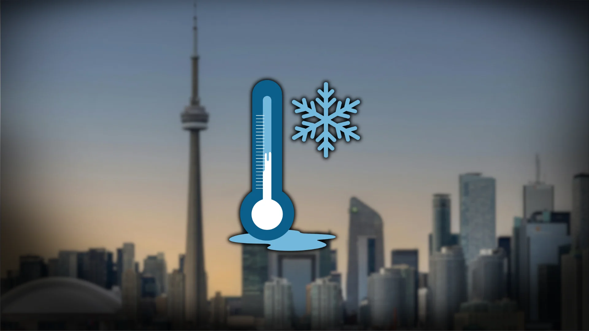
-20°C forecast this weekend in Toronto, could it be our last?
A brutally cold airmass sweeping into Ontario this weekend could pack some of the season’s coldest temperatures
Get ready for a swift and uncomfortable burst of Arctic air across Ontario this weekend.
A trough diving south will open the gates and allow bitterly cold temperatures to race south toward the Great Lakes. Wind chills could close in on -30 in spots.
DON’T MISS: Canada saw its first 20°C of 2026 on Wednesday
Dangerously cold temperatures Saturday
This potent Arctic front will force temperatures to rapidly drop through the weekend.

Morning temperatures on Saturday around the Greater Toronto Area (GTA) will likely drop into the -20s with wind chill values close to -30.
Based on climatology, Toronto-Pearson Airport records two to three days per year with temperatures at or below -20°C. We’ve already seen two such days this winter, and this weekend could pad the tally.

Toronto has been at the forefront for prolonged cold and truly historic snowfall this winter. The city has seen 18 days and counting without a temperature above freezing, making for one of its longest cold streaks in over a decade.
Will this be our final lows in the -20s?
Climatology is on your side if you’re rooting for this weekend’s -20s to be the last in Toronto.
Toronto-Pearson’s average last -20°C reading occurs on Feb. 6. We’re right around that date, and we do have history on our side.
The chances for temperatures in the -20s goes down in February and March as growing daylight and a higher sun angle result in warmer average readings.
Models indicate that the persistent cold pattern over Eastern Canada will finally break down by the middle of the month, offering near-seasonal temperatures for the first time in weeks.
However, as Canadians know, there is still plenty of winter left to go. Toronto-Pearson’s latest -20°C temperature occurred on Mar. 20, 1949.
Header image created using graphics and imagery from Canva.