Stay aware as severe thunderstorm risk builds again on Sunday
Strong to severe storms are possible on parts of the Prairies again on Sunday
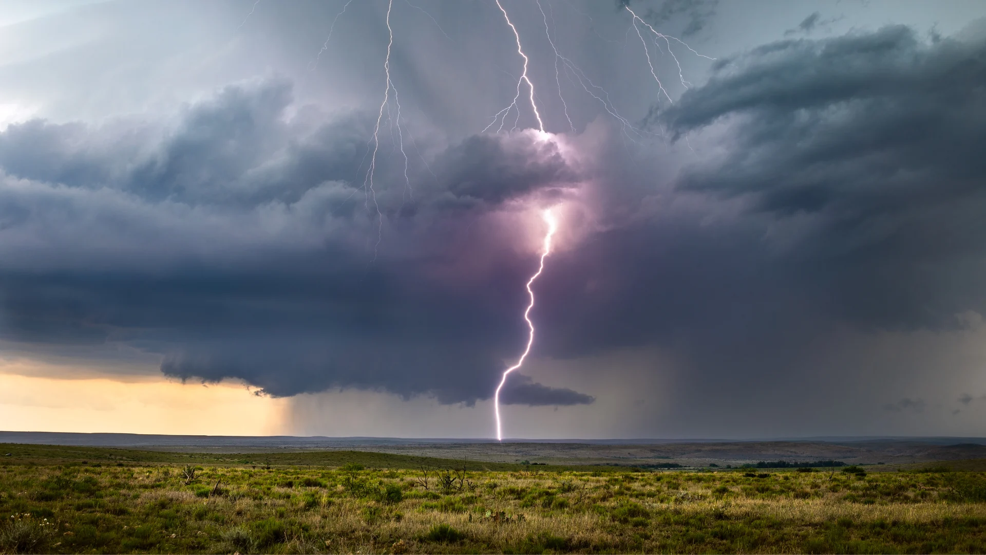
An active couple of days on the Prairies will roll into Sunday as a renewed round of thunderstorm activity develops across portions of the region.
Stay alert for rapidly changing conditions in your area. Localized flooding is possible. Never attempt to drive across a flooded roadway. It’s impossible to tell how deep the water is until it’s too late.
Canada's 2025 Fall Forecast: An extended pause could redefine the season ahead

A low-pressure system lifting north of the border will spark another round of strong to severe storms across parts of the Prairies to end the weekend.
Thunderstorms are expected to develop along a warm front through the afternoon and into the evening hours.
The greatest risk for severe weather will spread across southern Manitoba. The strongest thunderstorms could produce damaging wind gusts, heavy rainfall, and large hail. Some wind gusts could exceed 100 km/h. Downpours are a concern given the moist airmass over the region.
Header image courtesy of Canva.
Stay with The Weather Network for all the latest on conditions across the Prairies.