Severe storm risk continues overnight on the Prairies
Stay alert for potential warnings in your area as you wind down for the evening
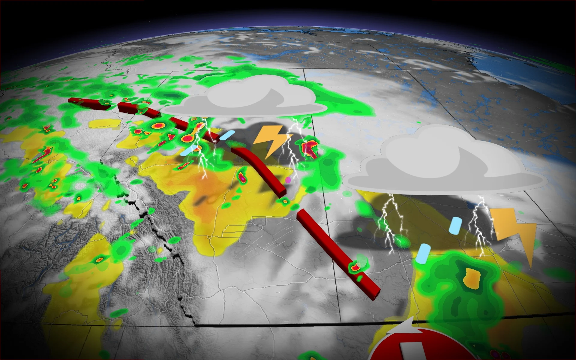
Active weather that developed on Saturday in Alberta will roll into the nighttime hours and extend east into Saskatchewan as a risk for severe thunderstorms continues over the region.
A trough swinging over the Prairies will meet up with ample moisture and storm energy to trigger thunderstorms across the region.
DON’T MISS: La Niña watch issued for this winter as key factors signal change
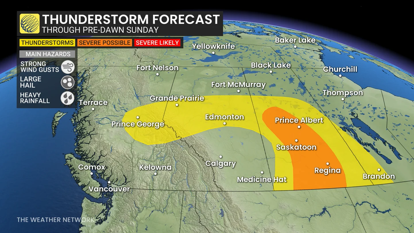
Expect a continued risk for thunderstorms across portions of Alberta and much of Saskatchewan on Saturday night into the pre-dawn hours Sunday.
The greatest risk for severe weather will extend through Regina, Saskatoon, and Prince Albert. Any storms that approach severe limits could produce strong wind gusts, large hail, and heavy rainfall.
Given the amount of moisture in the atmosphere, watch for localized flooding beneath the heavier downpours.
Remember, never try to drive across a flooded roadway. It’s impossible to tell how deep the water is until it’s too late, and it takes a small amount of moving water for a vehicle to lose traction with the roadway.
Stay with The Weather Network for all the latest on conditions across the region.