Keep the shovels handy: Southern Ontario to see another 5-15 cm of snow
Get ready for more snow, southern Ontario, with accumulations of 5-15 cm expected for most of the region through Sunday. Expect difficult travel conditions
Unfortunately, southern Ontarians, there won't be much rest from the snowy weather as another round is expected to make its way into the province late Saturday and continue for the rest of the weekend.
After some areas were hit with 30+ cm of snow from Thursday to Saturday morning--including a whopping 57 cm in Brussels--a Colorado low will track into the Great Lakes region, bringing widespread snowfall, with varying totals of 5-15 cm, through Sunday across southern, central and eastern Ontario.
DON'T MISS: Severe snow squalls disrupt travel across southern Ontario

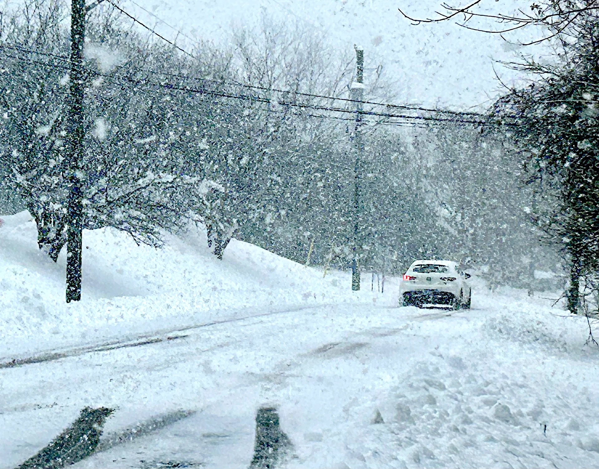
Expect slow commute times with the snow as road conditions will deteriorate quickly. Hazardous travel conditions are possible in the hardest-hit regions with near-zero visibility at times in heavy snow.
Weekend system brings additional snow
A Colorado low is projected to sweep across southern Ontario Saturday night and Sunday, spreading a more uniform layer of snow across the region. A Yellow Warning - Snowfall is in effect for much of the region ahead of this system's arrival.

The snow will begin in the southwest, near Windsor, Saturday evening. It will spread into the Greater Toronto Area (GTA) by the overnight hours and reach Ottawa by early Sunday, where it will then persist throughout the day.
Folks in the the snowbelts, who have already had to contend with Thursday and Friday's snow squalls, could see an additional 10-15 cm of snow throughout the event.

For the rest of southern and eastern Ontario, however, we're looking at a widespread 5-10+ cm of snow. Areas near and south of the 401 will see a changeover to light rain before the precipitation ends, causing some melting of what has fallen.
Fore areas along the shores of Lake Ontario and Lake Erie, ae could see some of the snow mix with rain at times before changing to light rain, limiting totals to just 3-5 cm.
Bands of lake-effect snow will develop southeast of Lake Huron and Georgian Bay as the system departs the region Sunday night.

Looking into the beginning of December on Monday, we'll see temperatures take a dive behind the weekend's system. This will keep nearly all of Ontario below freezing--an apt start to meteorological winter.
Snowfall totals from multi-day, lake-effect squalls
Unofficial snowfall amounts reported from the multi-day, lake-effect snowfall from Thursday to Saturday morning.

Brussels: 57 cm
Kitchener-Waterloo: 36 cm
Barrie: 30+ cm
Markdale: 27 cm
Lucknow: 24 cm
Midhurst: 21 cm
Woodstock: 15 cm
Stay with The Weather Network for the latest updates across Ontario
