Ice, heavy snow to impact Atlantic Canada's Easter weekend
Back-to-back stormy systems will bring winter-like impacts across Atlantic Canada this Easter long weekend.
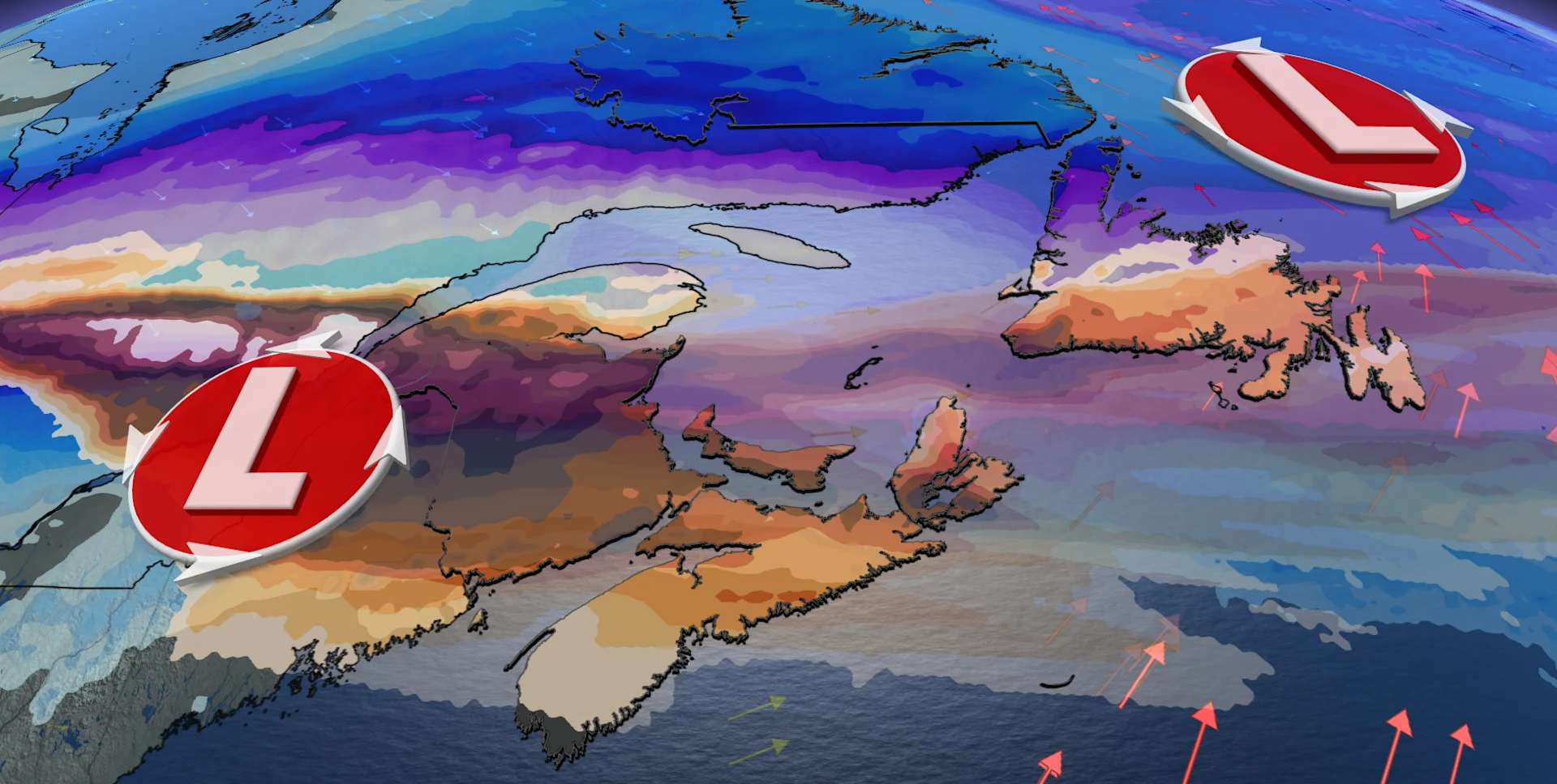
Atlantic Canada braces for back-to-back winter storms over the Easter long weekend. Snow, ice, and potential road closures may cause travel disruptions, with isolated power outages also possible.
Weather Highlights:
Friday-Saturday: Snow, ice, and rain across NB, P.E.I., and Nova Scotia, with 10-20+ cm of snow hitting southern Newfoundland
Impacts: Northern New Brunswick may see 5-10 mm of freezing rain, with travel disruptions, road closures, and power outages possible
Second System: Another 10-20 cm of snow and 6-12 hours of freezing rain Sunday
DON'T MISS: Will Canada's April bring a summer preview or a winter rewind?
Winter storms to deliver snow, ice, and rain to Atlantic Canada this Easter weekend
Snow began across parts of the Maritimes early Friday morning, but rising temperatures will transition the wintry precipitation to rain in some areas by the afternoon and evening. Heavy snow will move into central and southern Newfoundland Friday night into Saturday morning.
RELATED: Are we on the cusp of a “Super El Niño?” Here’s how strong it may grow

A swath of 10-20+ cm of snow is expected from northern New Brunswick, western P.E.I., and southern Newfoundland.
Southern Newfoundland will also see winds picking up through Saturday morning, with gusts reaching 50-60 km/h. This could lead to poor visibility and slick roads due to the blowing snow. The gusty winds and blowing snow are forecast to persist into the afternoon along the southern coastline, as well as the Burin and Avalon Peninsula.
Back in the Maritimes, Central New Brunswick could see 5-10 mm of freezing rain, while P.E.I. and eastern Nova Scotia may receive only a few millimetres.

Travel disruptions, road closures, and isolated power outages are possible.
DON'T MISS: Staying safe during a power outage
A brief break will occur Saturday afternoon, as high pressure moves through, accompanied by cooler temperatures.
A second system will follow a similar path, spreading more snow and ice north, and rain to the south through Sunday.

Another 10-20 cm of snow is expected across northern New Brunswick, with up to 6-12 hours of freezing rain in some areas. There is some model discrepancy, however, about the exact amount of ice pellets and freezing rain folks may see. Some areas will have a greater amount of pellets, while others will see slick freezing rain dominate.
Areas across the southwestern Maritimes could see 15-30 mm of rain. A track shift may adjust overall snow and ice totals.