From summer to frost, Ontario gets a dramatic temperature twist Tuesday

A strong warm front will usher in hot and humid air to Ontario, only to be wiped out by a cold front, and feel winter-like in hours.
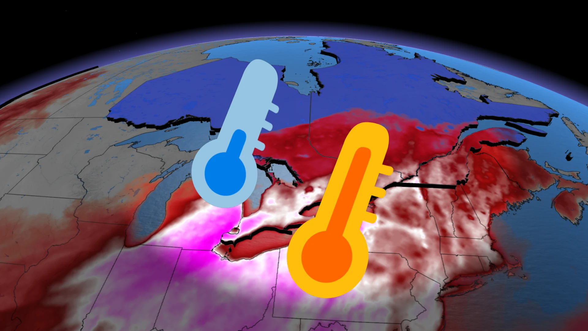
There’s going to be a weather whiplash for many parts of Ontario Tuesday, as temperatures are forecast to go up and down within the day. It all starts with a warm front linked to a Colorado low that will bring southwest winds into the province.

This will have a huge impact on temperatures, bringing a humid airmass into the Great Lakes. It’s going to feel like summer in April as temperatures will soar into the upper 20s, with humidex values into the 30s. Temperatures will be as much as 13 degrees above the seasonal averages.

By the afternoon and evening, a potent cold front will make the atmosphere unstable. Parts of the province will need to brace for the threat of severe storms due to the clash of warm and cold air.

Next comes the big drop. By the mid-afternoon, the cold front will sweep away the humidity and send temperatures plummeting. The overnight temperature drop will feel like nearly 30 degrees.
FORECAST: Ontario faces greatest supercell storm threat of the year (so far)
Overnight temperatures can drop so low that there's even a risk of frost in central Ontario.
Keep an eye on The Weather Network for the latest updates in Ontario.