First shot at snow could hit some major Alberta cities
The first signs of winter could make an appearance in Alberta this week, with a chance of early-season snowfall in higher elevations and some low-lying areas
Alberta is transitioning to a more autumn-like weather pattern, remaining slightly warmer than seasonal overall to start, but with occasional colder-than-normal spells throughout the week.
This shift raises the possibility of the season's first snowfall, particularly in both higher and some lower elevations.
Cold front to bring snow near Jasper Tuesday and Wednesday, temperature swings expected in Calgary
A cold front on Tuesday is expected to bring snow to higher elevations near Jasper, around 1600 m.

Meanwhile, Calgary faces a temperature roller coaster this week, with brief highs in the 20s followed by sharp drop-offs into the low double digits.
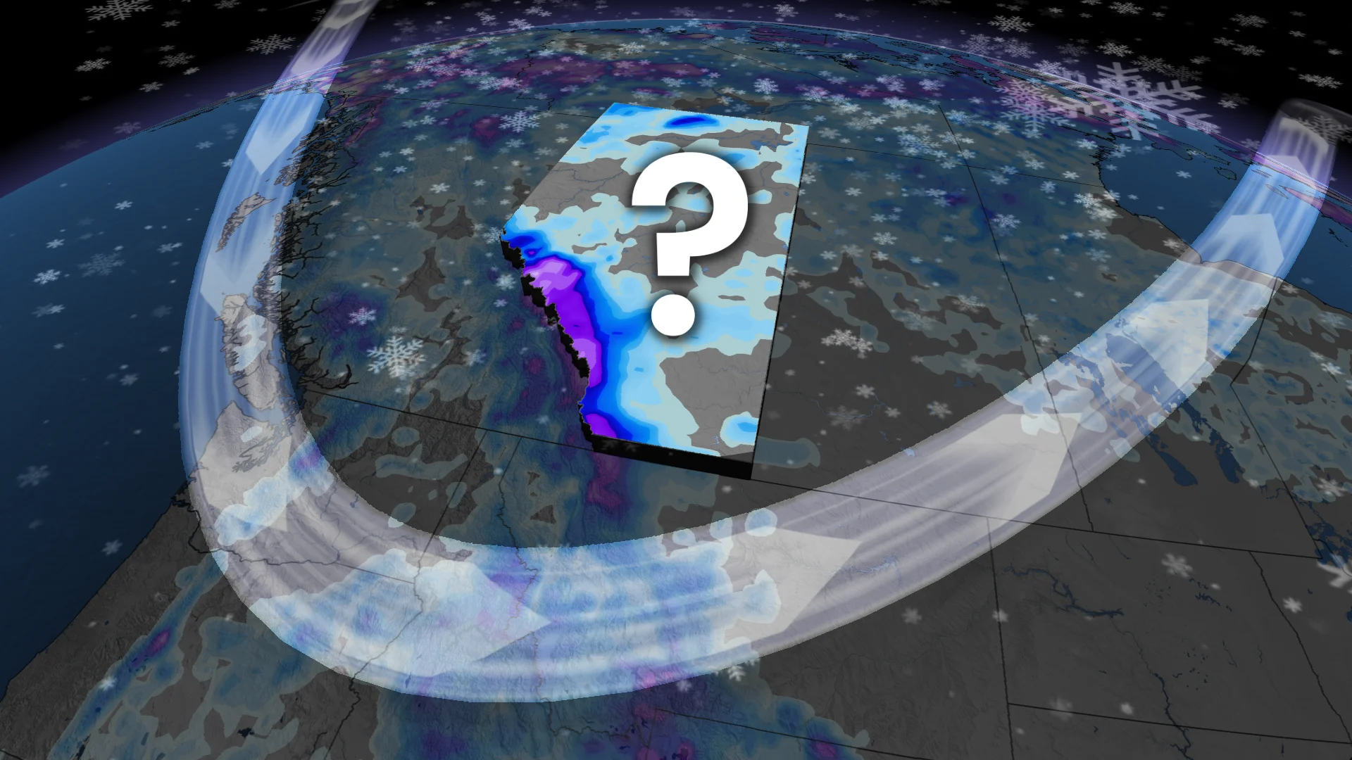
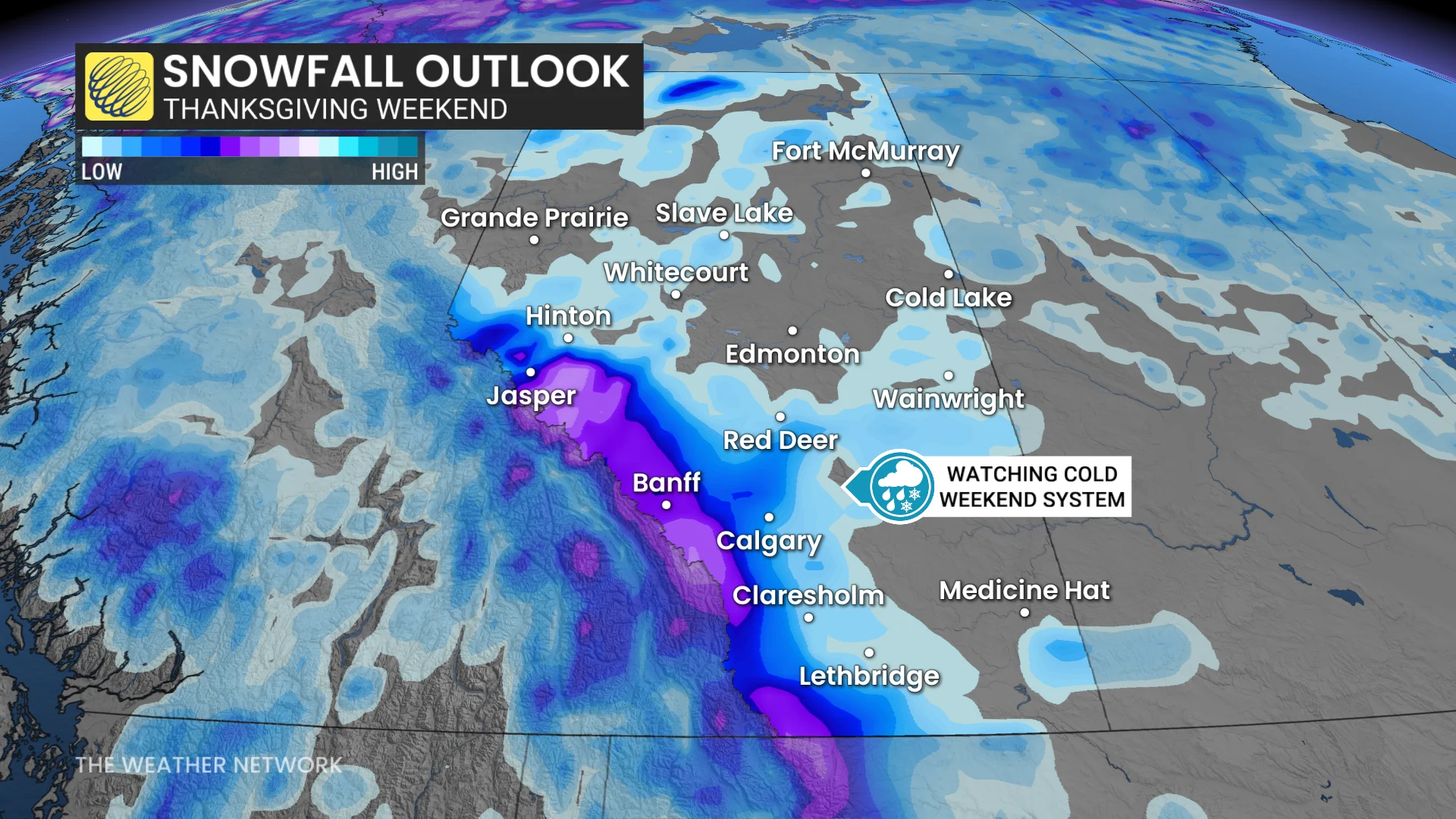
Thanksgiving weekend snowfall possible in Alberta, higher elevations favoured
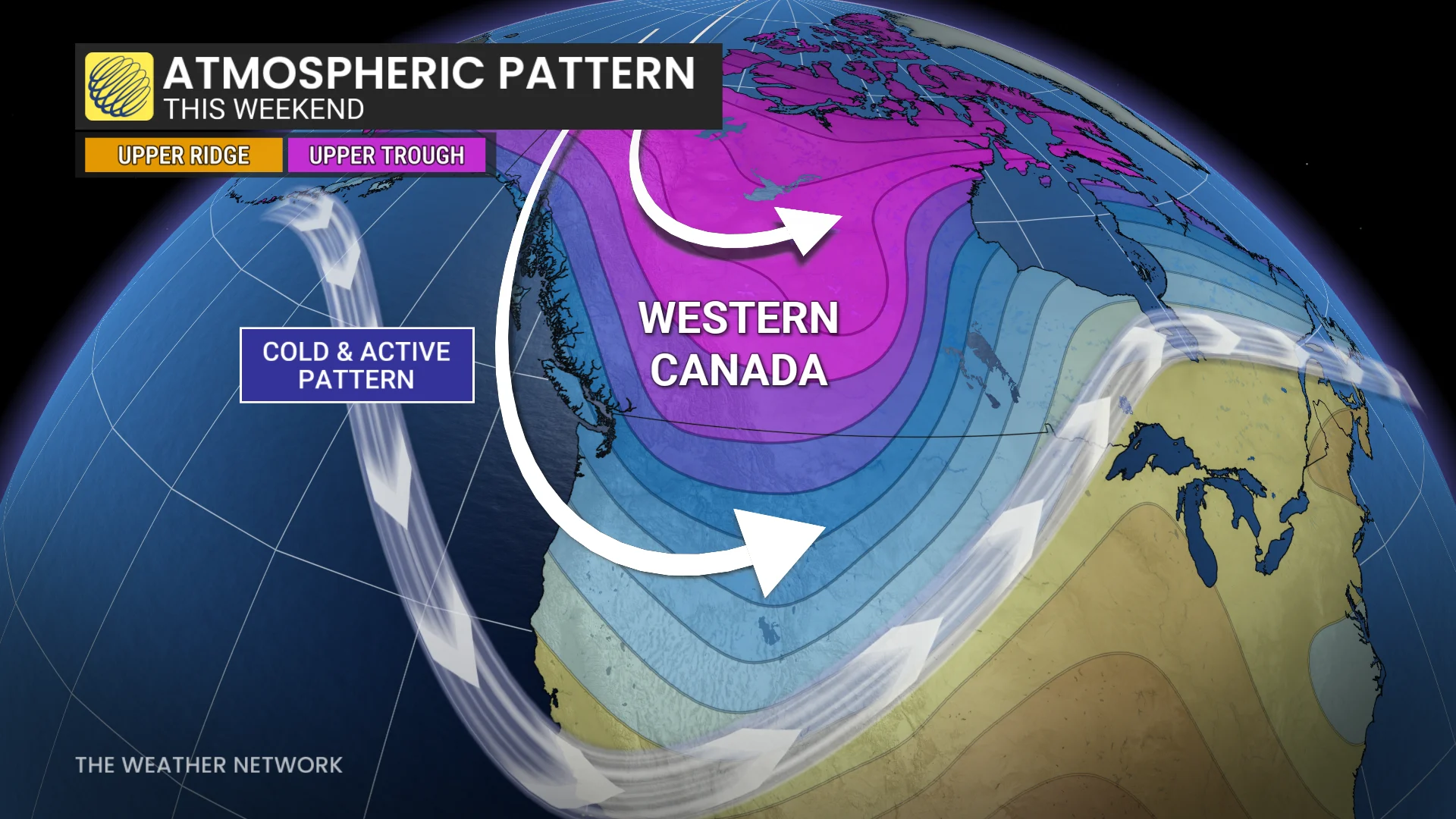
Another chance of snowfall emerges late Saturday into Sunday as a strong trough digs across western Canada. This weather pattern is ideal for colder, active conditions.
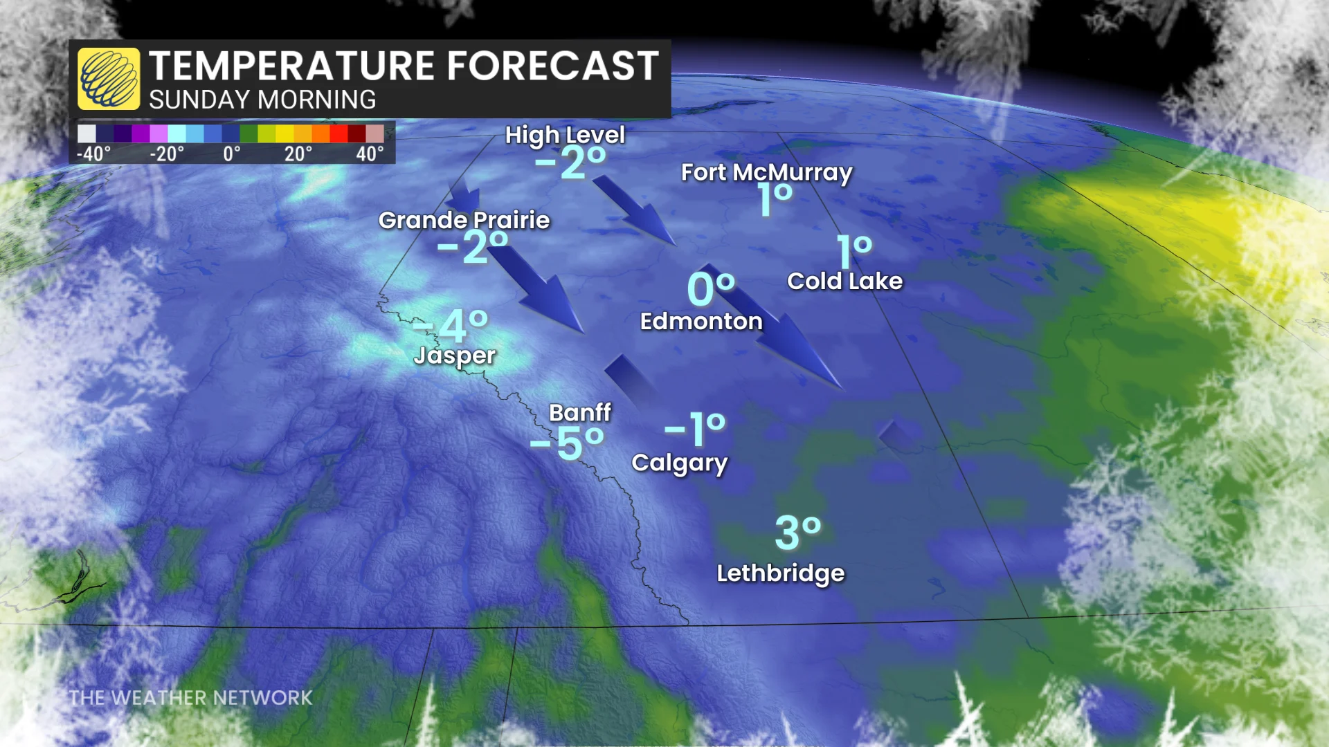
Overnight and early morning temperatures during the Thanksgiving weekend could drop to near or below freezing, potentially turning incoming rain into a rain-snow mix at lower elevations.
While there is high confidence in snowfall accumulations for higher elevations in the Rockies, uncertainty remains for lower elevations due to current forecast variability.
Snowflakes are possible in areas west of the QE2, and if temperatures cool further, Calgary could see its first snowflakes of the season.
For perspective, Calgary’s earliest recorded snowfall was October 2, 2018, when 32.8 cm fell.
WATCH: Can Canada expect snow in October? Find out in our monthly weather outlook, below
Be sure to check back for the latest weather updates across Alberta