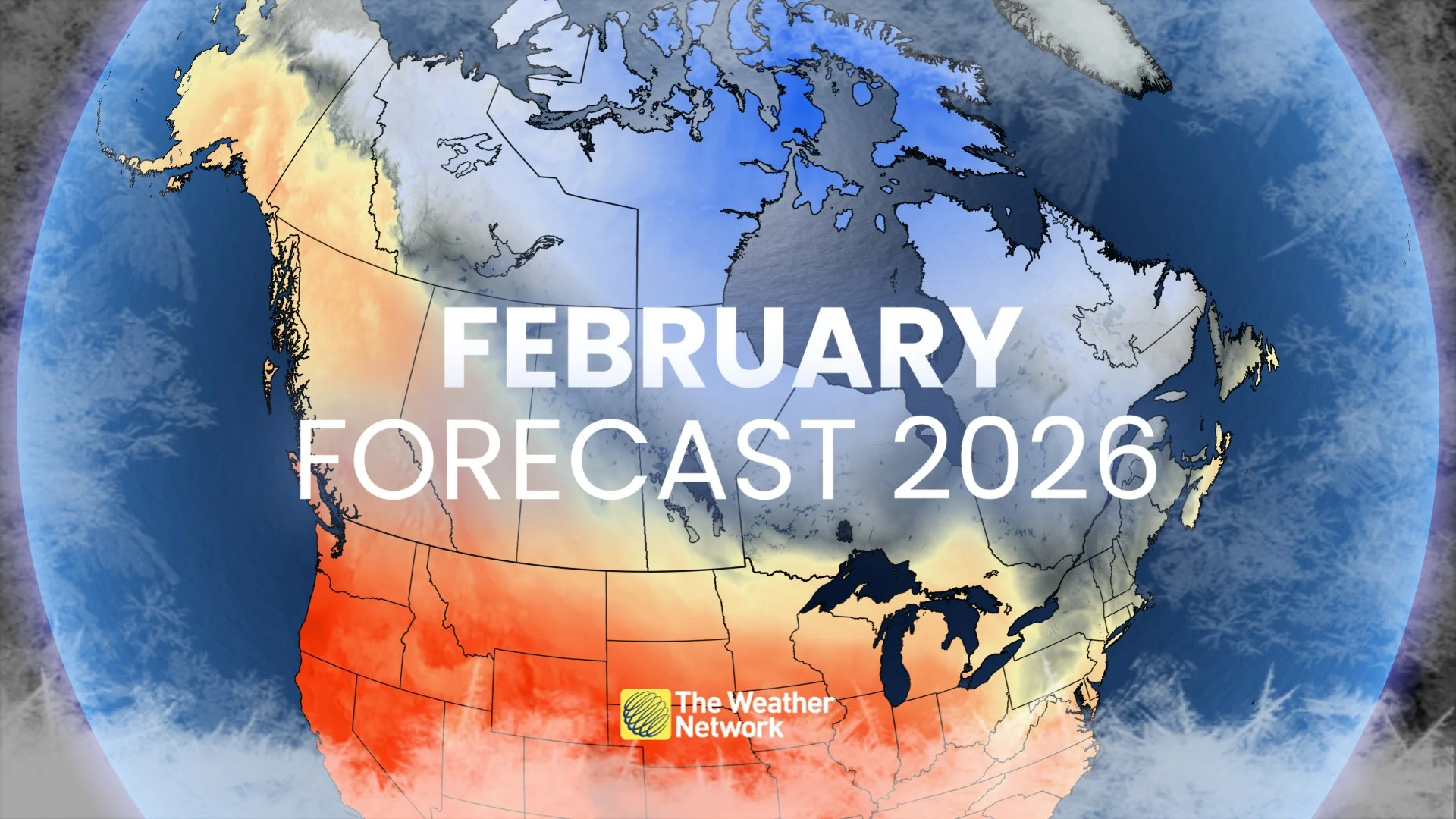
Don’t wait for the groundhog! Canada’s February outlook is here
After a brief reprieve to start the month, expect very cold conditions to return across much of Canada throughout February
Canada has rounded the wintertime curve and we’re starting to look forward to warmer and longer days to come. But frigid temperatures and snowy conditions still rule the roost across the country during a typical February.
What’s in store for your month ahead?
This February will see a series of temperature contrasts and pattern flips as the heart of winter continues to beat across the country.
DON’T MISS: When is the coldest stretch of the year in your corner of Canada?
February kicks off with Pacific flow
January is ending on an extremely cold note for much of the country as we continue to feel the influence of the polar vortex up north.
Toronto’s snowiest day on record catapulted this month to the top of the list as the snowiest January on record at the Pearson Airport. The community of Kirkland Lake, Ont., saw a low temperature of -43.7°C on Jan. 24, marking the station’s coldest reading in 42 years.
That pattern isn’t hanging around much longer, at least for now. Air flowing off the Pacific will dominate Canada’s pattern through the first week of February.

We’re on track to see springlike temperatures spread over British Columbia, Alberta, and Saskatchewan, with conditions possibly coming in 10 to as much as 20 degrees above seasonal at times.
Meanwhile, this Pacific flow will offer a bit of a reprieve from the bitter cold that’s dominated the eastern half of the country in recent weeks. The extreme cold will temporarily relax back toward seasonal, which is still quite chilly this time of year.
The predominant storm track through early February would see clippers diving across the Prairies toward the eastern provinces, lacking the moisture needed to produce heavy amounts of snowfall.
A familiar pattern emerges through the rest of February
The break won’t last very long.

RELATED: What is the polar vortex? How it’s responsible for dangerous cold
Long-range conditions are trending toward a return to our familiar pattern of ridging in the west and troughing in the east.
This pattern would once again favour above-seasonal temperatures west of the Rockies while folks back east deal with a renewed period of colder-than-normal conditions.

A return to colder temperatures east of the Rockies would help to build a storm track favourable for Texas and Colorado lows that could threaten the East Coast with impactful winter weather.
Folks around the Great Lakes have some good and bad news heading into February.
The good news is that a healthy increase in ice coverage across the lakes has reduced the ability for lake-effect snow to form. The bad news, however, is that we’re also losing the water’s ability to moderate frigid temperatures before they spill over southern Ontario.
February sees warming temperatures, longer days
January is historically the coldest month of the year for most communities across Canada, so the climatological depth of winter is behind us. But make no mistake: February is still a very cold month for the entire country.
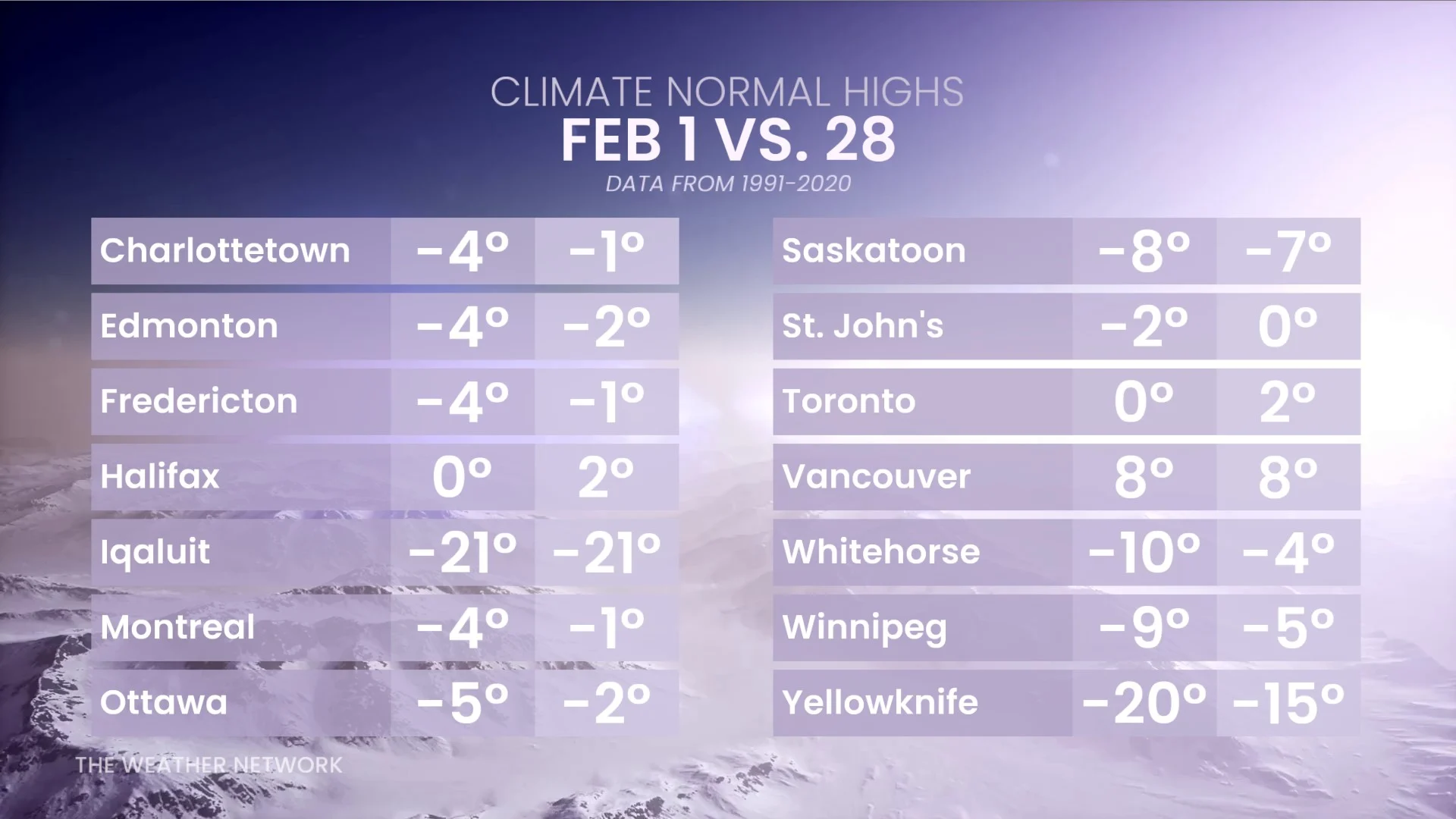
Seasonal temperatures gradually rise between the beginning and end of February. The average high in both Edmonton and Toronto rises several degrees between Feb. 1 and Feb. 28. Typical daytime highs climb a few degrees throughout the month in Winnipeg, Montreal, and Ottawa.
Days are also slowly growing longer. Toronto is on track to gain around 1 hour and 15 minutes of daylight by the final day of February. The gain is even more dramatic at higher latitudes, with Calgary set to gain nearly 1 hour and 40 minutes of daylight throughout the month.