Extreme cold targets Canada as the polar vortex buckles

Watch as a massive bowl of Arctic air is set to bring extreme, potentially record-breaking cold temperatures to parts of the Prairies and across Eastern Canada.
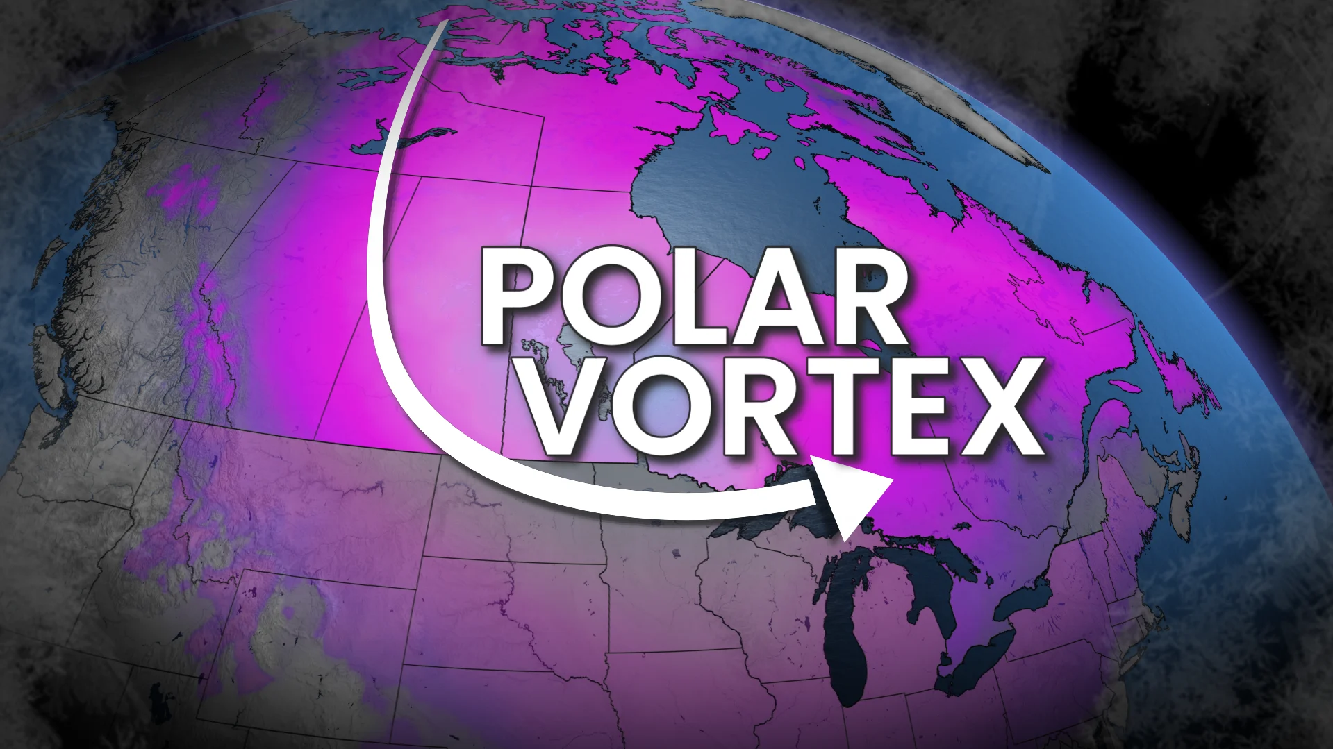
The polar vortex is teetering, and Canada is in the line of fire.
The stratospheric polar vortex is off kilter and unusually weak, and that’s great news if you’re a fan of the cold, Canada. If not...this may be where you stop scrolling.
When the vortex weakens, lobes of brutally cold Arctic air can detach and plunge south, and that’s exactly what the atmosphere is gearing up for. The signals are unusually aligned.

A wildly meridional jet stream: Meteorological shorthand for very wavy, with deep troughs and powerful ridges
Major blocking over Alaska and Greenland, a pattern that locks cold in place and forces it south

National Arctic air tracker
BRITISH COLUMBIA - Arctic Air Risk: LOW
B.C. gets a pass this round.

The Pacific jet has been relentless this winter, continuously deflecting Arctic air east of the Rockies.
Lower-elevation snow lovers along the coast will not be thrilled.
PRAIRIES - Arctic Air Risk: HIGH
Alberta gets clipped in the east, but Saskatchewan and Manitoba take a direct hit beginning early Thursday.
By Friday morning, parts of eastern Saskatchewan and Manitoba plunge into the -40s, with daytime highs stuck in the -30s.
Context:

Estevan, Sask., has only recorded three daytime highs below -30°C since 2000 (most recently Jan. 13, 2024).
Yorkton, Sask., has five such days.
Brandon, Man., has only two days below –30°C since 2000--last on Dec. 30, 2017.
By Saturday, the core of the lobe shifts east, but the cold doesn’t loosen its grip.
ONTARIO - Arctic air risk: HIGH
By Thursday night, northwestern Ontario drops into the -30s.
Friday evening, the cold floods south:
Southern Ontario falls into the -20s
Eastern Ontario (Algonquin, areas east of Georgian Bay) likely near -30°C
Barrie and Peterborough may flirt with -30°C
Saturday’s highs could be among the coldest this century, though values may still shift a couple degrees as the forecast confidence increases.
Examples:
Toronto: Forecast high -16°C (coldest since Jan. 6, 2018; Feb. 15, 2015 only reached -19.1°C)
Ottawa: Forecast high -21°C (also coldest since Jan. 6, 2018)

Fun fact: Pearson International Airport hasn’t hit -30°C since January 1994, and won’t this weekend, either.
QUEBEC - Arctic air risk: HIGH
Montreal’s coldest days arrive Saturday–Sunday with highs struggling to climb above -20°C.
Below -20°C highs are rare in the modern climate; only 10 occurrences this century, most clustered in January 2004.
If Montreal reaches -30°C, it would be the first since January 1994.

Possible? Yes. Probable? No, but within reach under ideal cooling conditions and a favourable wind direction.
ATLANTIC CANADA - Arctic air risk: HIGH
Northwestern New Brunswick feels the sharpest edge of the cold with highs buried in the -20s by Saturday.
Elsewhere in New Brunswick, P.E.I., and parts of Nova Scotia, expect several days with highs in the negative teens. and inland sections into the -20s for overnight lows through the weekend and continuing into early next week.
Temperatures are moderated slightly due to a milder influence from the Atlantic Ocean.
Arctic air mass at a glance
How does the upcoming cold compare to the strongest upper-air outbreaks of this century?
Weather balloons give us clean, objective data about 1.5 km above the ground, largely untouched by urban heat or local effects. This is one of the best ways to compare cold snaps.
And the verdict is clear: This intrusion ranks among the strongest of the 2000s in several key regions:

Buffalo, N.Y. (Southern Ontario proxy)
Coldest since 2000
–28.5°C - Jan. 16, 2004
–28.5°C - Feb. 13, 2016
–27.9°C - Jan. 6, 2018
–27.7°C - Jan. 7, 2014
All-time record: -32.3°C (Jan. 17, 1982)
Forecast range: -25°C to -28°C
Rivaling the strongest, upper-air cold of the 21st century.
INTERNATIONAL FALLS, Minn. (Northwestern Ontario and southern Manitoba proxy)
Coldest since 2000
-35.1°C : Feb. 4, 2007
-34.5°C : Jan. 21, 2013
-34.5°C : Feb. 13, 2021
-34.3°C : Feb. 18, 2006
All-time record: -42.1°C (Jan 16, 1982)
Forecast range: -35°C to -38°C
Potentially the coldest, upper-air temperatures since 2000.
THE PAS, Man. (YQD) - central Manitoba
Coldest Since 2000
-38.3°C : Feb. 11, 2021
-38.1°C : Jan. 14, 2005
-37.3°C : March 7, 2003
-37.3°C : Jan. 29, 2019
All-time record: -44.1°C (Feb 1, 1996)
Forecast range: -35°C to -37°C
High-end Arctic air mass that is approaching 2019 levels.
Small wobbles in the polar vortex can mean big swings in temperature. This is a high-impact cold setup, and one that will continue to evolve.
Check back often as our meteorologists track this extreme cold event through the end of January.