Even more weekend snow and frigid air after 20-40 cm blasts Ontario
Additional rounds of snow set to hit through the weekend, as much of Ontario digs out from this week's major winter storm
Following the snowstorm that resulted in dangerous travel and widespread closures through Thursday, southern Ontario is set to face more snow in the coming days as Arctic air continues to push into the area.
DON’T MISS: What is wind chill and why does it 'feel' so miserable?
In fact, Arctic air will persist through the remainder of January, bringing frigid conditions to the region. Lake-effect snow squalls are expected to impact snowbelt areas east and southeast of Lake Huron and Georgian Bay at times. Additionally, the weather pattern in the final week of January could favour the development of Colorado, Texas, or Gulf lows tracking northward across eastern North America.
It will be important to stay up-to-date on the forecast, and any weather alerts issued in your area.
Prairie clipper spreads widespread snow Friday
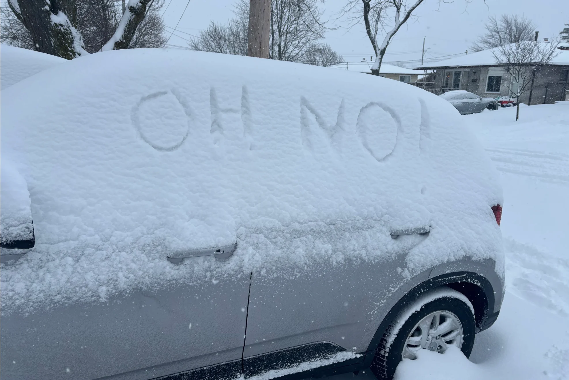
Thursday saw widespread snowfall totals ranging from 20-40 cm throughout the Greater Toronto and Hamilton Area, prompting school and road closures throughout the area.
Most schools have reopened, but students relying on school bus services in Durham and Peel regions may encounter disruptions Friday morning. Transit lines across Toronto continue to experience delays and closures as well, as crews work to clear snow buildup from Thursday’s storm. NAV Canada reports that air traffic at Toronto's Pearson Airport returned to normal early Friday.

But don't put away the snow brushes just yet.
A weak system from the Prairies moving in on Friday will produce additional widespread snow through the late afternoon and evening hours.

While accumulations will be rather light, on the order of 3-5 cm, wind gusts of 40-50 km/h will lead to blowing snow. Drivers should use caution and prepare for reduced visibility at times, especially with the timing during the evening commute.
This weekend, you guessed it, more snow!
A stubborn upper-level trough will provide persistent cold air and instability over the Great Lakes heading into this weekend.
Localized bursts of lake-effect snow are in the forecast for the Niagara Peninsula and Georgian Bay shores, setting up late Saturday and lasting through the day on Sunday.

Polar vortex threatens coldest air of the season so far
A lobe of the polar vortex over Hudson Bay will deliver the coldest air of the season to kick off next week. Toronto may see its coldest daytime high since 2019, with wind chill values in the -25 to -30 range.

In addition to the cold conditions, we’ll see another clipper arrive on Monday to bring a fresh round of widespread snow across southern Ontario. Communities in the traditional snowbelts will see lake-effect snow build on Tuesday behind this system.
Stay with The Weather Network for all the latest on conditions across Ontario.