Winter to hit Ontario hard with polar vortex chill and more snow
More snow is on the way for southern Ontario, with a widespread shot occurring on Wednesday. That will be followed by bitterly cold temperatures and wind chills late week
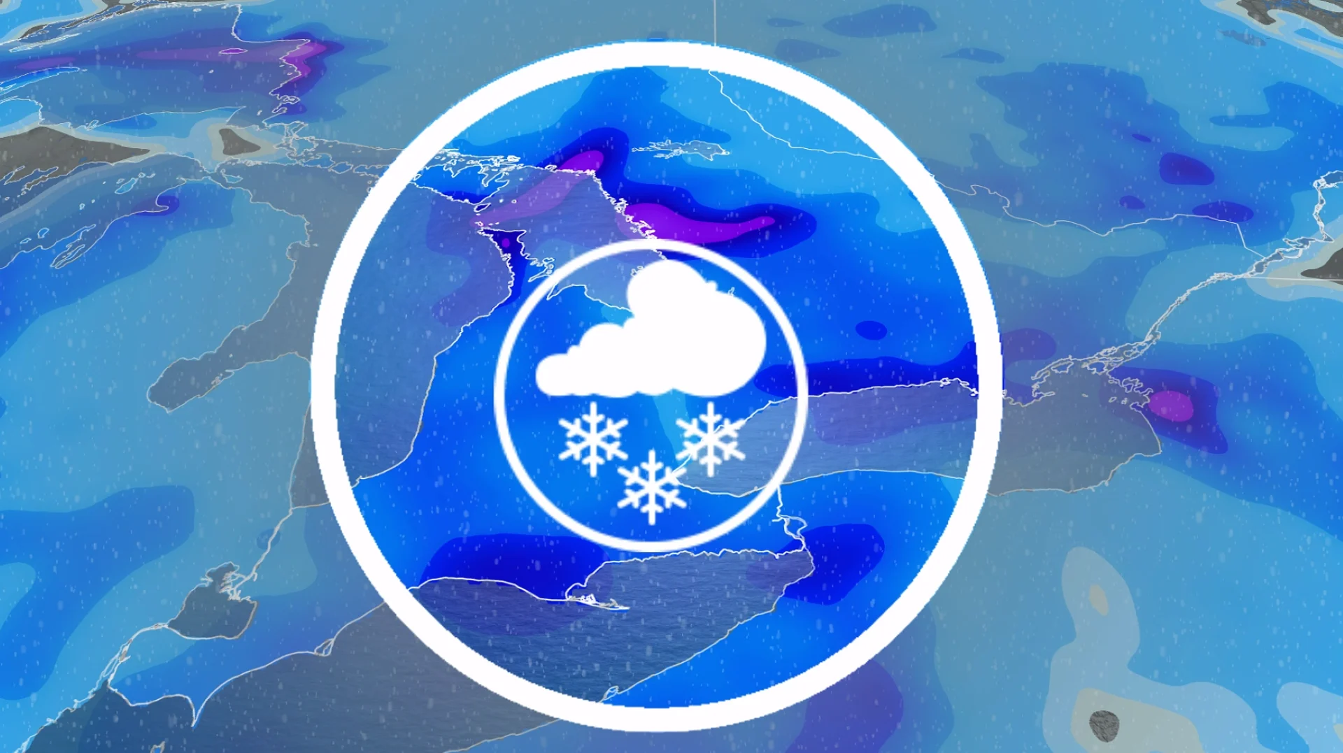
Southern Ontario is getting a double dose of winter trouble this week--frigid Arctic air and multiple rounds of snow.
Wednesday will see the next round of snowfall as a clipper moves in from the Prairies. A general 5-10 cm of snowfall is expected for the region, likely to impact the afternoon and evening drives. Higher amounts possible for some of the snowbelt communities.
DON’T MISS: Extreme cold targets Canada as the polar vortex buckles
Visibility will likely be suddenly reduced to near zero at times in areas seeing the snowfall. Roads and walkways will likely be difficult to navigate due to accumulating snow.
Extreme cold will then move in by the end of the week, with temperatures plummeting into the -20s, with even colder wind chills. Bundle up with extra layers.
Another mid-week storm
A Prairie clipper will bring widespread snowfall Wednesday into Thursday morning.

Snow arrives mid-late morning across southwestern Ontario and the Greater Toronto Area (GTA), with snow expected to impact the afternoon and evening drives in the latter.
SEE ALSO: Snow paradox: Why 2 cm of snow can actually be worse than 25 cm
5-10 cm is expected for southern Ontario, with near 5 cm for Toronto and higher amounts away from the lake. Higher totals expected near the Lake Huron shores, Georgian Bay.

Blowing snow will reduce visibility once again, with wind gusts of 50-60 km/h, especially downwind of the lakes. Plan ahead for potentially challenging travel conditions.
That won't be the end of the snow for some.

Wednesday overnight, folks can expect lake-enhanced snowsqualls to target the southern Golden Horseshoe between Hamilton and Niagara, and also Prince Edward County towards Kingston. Hazardous travel with reduced visibility expected.
Lake-effect snow, cold temperatures and blustery winds remain in the forecast for Thursday and Friday across southern Ontario.
Frigid air to grip Ontario by the weekend, coldest in years for some regions
Frigid air will take over as the polar vortex settles across the region late week and into the weekend. Wind chills will plummet into the -30s, and even possibly -40s across northern Ontario.

DON'T MISS: The Great Lakes’ winter superpower is fading, polar vortex punches through
Ottawa may hit a low of -21°C, marking the city’s coldest day in 10 years if this forecast holds.
Major U.S. storm to watch
A major winter storm that is set to impact the Deep South will track up the East Coast through the weekend, bringing the potential for the northern extent of the low to scrape snow across southern Ontario.

There is high uncertainty in this forecast and the snow is not a guarantee. High pressure to the north could nudge the snow south. Continue to check the forecast for updates.
Next week begins with frigid conditions across the region, though a gradual temperature recovery is expected. However, reinforcing shots of Arctic air will likely disrupt this warming trend. A couple of Prairie Clippers are also anticipated to bring snowfall through the week.
Temperatures may approach seasonal levels by early February, but colder-than-normal weather could return later in the month.