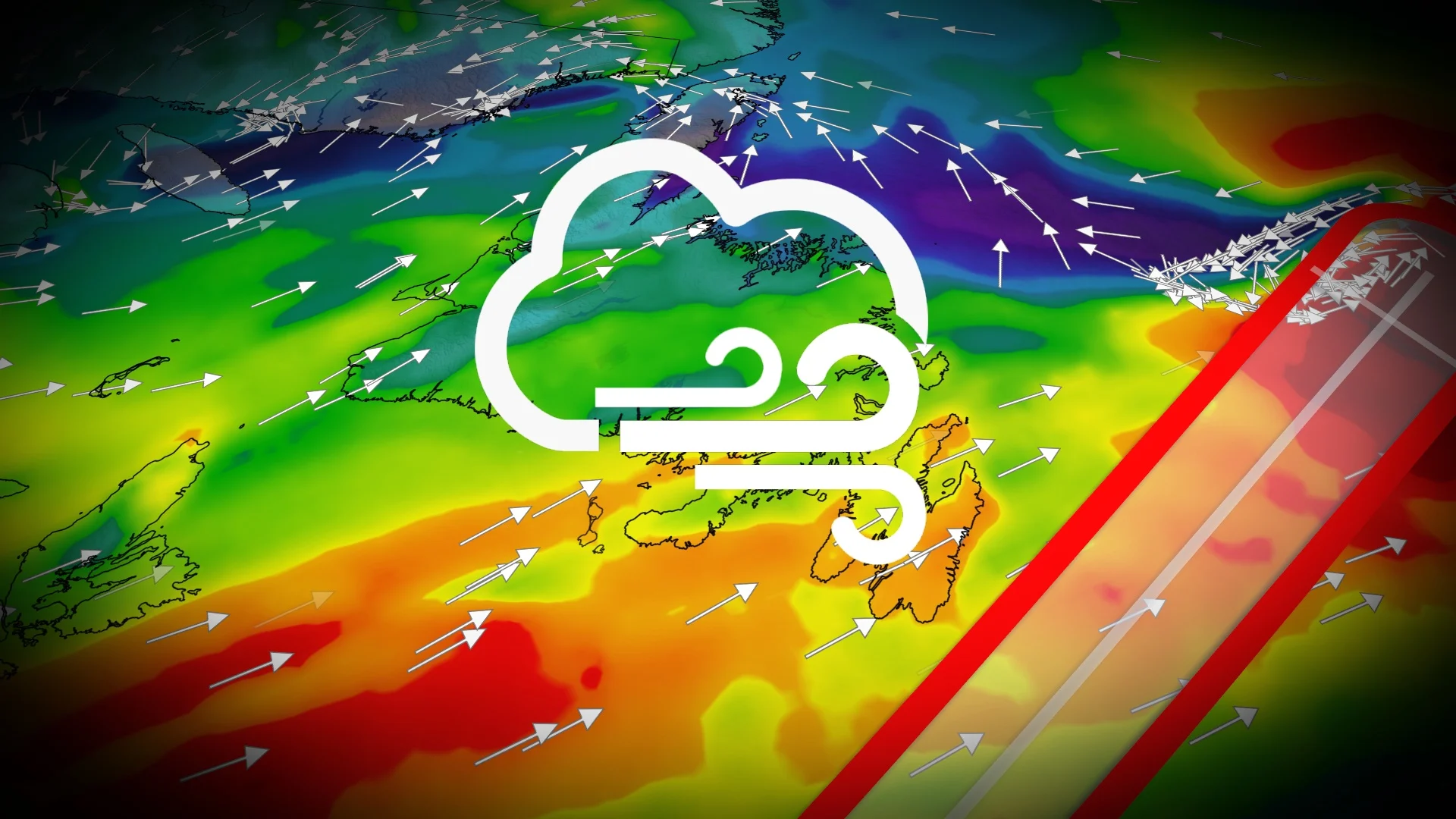
East Coast sees lingering, windy and wet conditions as Melissa remnants depart
What was once a powerful hurricane, the remnants of Melissa made a final pass south of Newfoundland with strong winds, large waves and heavy rain. The weekend will bring a brief break to the East Coast before another powerful system eyes the region early next week
Weather Highlights
Post-Tropical Storm Melissa is moving northeast and away from Newfoundland through Saturday morning
A northwesterly flow behind Melissa will bring gusty conditions through Saturday for the Maritimes
Wind gusts ranging from 60–90+ km/h on Saturday
Rough seas are expected across parts of the East Coast on Saturday
Next chance of significant storm comes on Tuesday
Melissa remnants depart, but East Coast sees lingering effects on Saturday
After devastating parts of Jamaica on Wednesday, Melissa quickly moved away from Bermuda and became an extratropical cyclone late Friday morning.

Atlantic Canada is feeling the effects of a low tracking through the St. Lawrence, combined with the post-tropical Melissa and what remains of it.
On Saturday, lingering effects for expected for parts of the Maritimes and Newfoundland as the leftovers from the post-tropical storm are on their way out.
On the back end, scattered showers and sea-effect return as the bulk of the rain fell through Friday across the Maritimes, while showers will taper across the Avalon through Saturday morning.

Heavy rains continue across northern and western Portions of Newfoundland through Saturday evening before conditions improve by Sunday.
Meanwhile, the first snowfall of the fall season for Labrador is expected this weekend as a low- pressure system prompts snowfall warnings across some areas.
"Travel will likely be challenging. Visibility will likely be reduced at times.Prepare for quickly changing and deteriorating travel conditions," Environment and Climate Change Canada warn.

Models indicating snow in the higher terrain with possible mixing in lower elevations.
As well, rough seas will continue on Saturday for parts of the East Coast.
Off the coast of Nova Scotia, wave heights could reach between five and eight metres, with three to five metres in the Bay of Fundy.

Beyond, after a brief reprieve from the active weather into the start of next week, we are watching the potential for a powerful Atlantic storm on Tuesday and into Wednesday. Low-pressure is expected to develop late Monday off the coast of the Mid-Atlantic states and rapidly intensify as it tracks to or just south of Atlantic Canada.
There is a wide range of scenarios, but it appears there will be very strong winds and heavy rain for much Atlantic Canada. This storm could even bring some significant snow to parts of Newfoundland.
Stay tuned to The Weather Network for the latest forecast updates for Atlantic Canada.