Wintry travel troubles likely in Alberta, Sask., with a bout of snow
Drivers should plan for slick roads and potential traffic delays late Sunday and into the Monday morning commute as a blanket of snow aims for parts of Alberta and Saskatchewan, including Calgary and Regina.
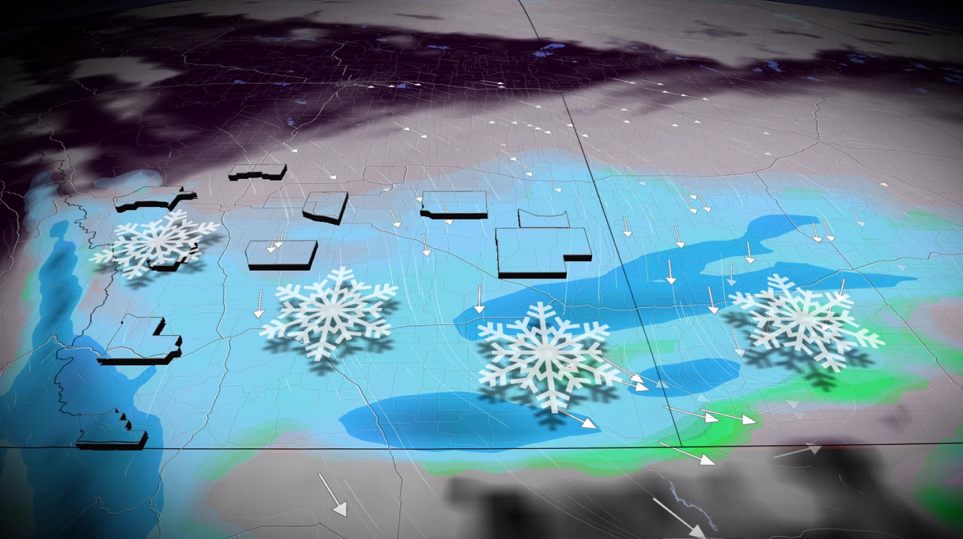
Hopefully folks on the Prairies have their winter tires on as the next blanket of snow falls across portions of the region at the end of the weekend, continuing into next week.
The snow comes as Western Canada will see an abrupt transition to winter starting early next week as Arctic air surges south and then spreads east across the region.
DON’T MISS: Canada’s first countrywide Arctic air outbreak arrives to end November
Visibility will likely be reduced at times. Allow extra time for travel. If driving, turn on your lights, slow down and maintain a safe following distance.
Snow expected to begin Sunday
A weak area of low pressure will develop this weekend from Pacific energy. Temperatures this weekend are well above seasonal for some areas, with daytime highs in the double digits forecast for Medicine Hat and Lethbridge, Alta. . Folks in southern areas of Alberta and Saskatchewan will sit on the colder, northern side of the storm, allowing for a period of accumulating snow to sweep across the region.

Expect snow to begin in the Rockies on Sunday before pushing into the lower elevations during the evening and overnight hours.
Peak snowfall rates for Calgary occur through the pre-dawn hours on Monday, meaning travel will be locally slick for the Monday morning commute as periods of snowfall ease.
RELATED: Snow paradox: Why 2 cm of snow can actually be worse than 25 cm

For southern Saskatchewan, periods of light snow develops early Monday morning, with accumulations through much of the day before it eases in the evening and overnight in southeastern sections.
Most of the snowfall accumulations are forecast to fall along and south of the Trans-Canada Highway.
Snowfall projections

Banff/Canmore: 5-10 cm
Calgary: 5-10 cm
Jasper: 5-10 cm
Lethbridge: 5-10 cm
Medicine Hat: 5-10 cm
Red Deer: Less than 3 cm
Edmonton: Trace
Estevan: 5-10 cm
Assiniboia: 5-10 cm
Swift Current: 3-5 cm
Moose Jaw: 3-5 cm
Regina: 3-5 cm
In Alberta, Nakiska, Banff Sunshine and Lake Louise ski resorts can expect 10-20 cm of fresh snowfall through Monday.
This isn’t much snow—but a small coating of snow can be more dangerous on the roads than double-digit totals.

Drivers should expect a slow Monday morning commute, with travel impacts possible on the QE2 south of Calgary, as well as along and south of the Trans-Canada Highway.
A typical November usually generates 20 cm of snow for Calgary, but so far, it has only seen 3.2 cm to date.
Since September, only 9.6 mm of precipitation has been recorded, just 14 per cent of the average.

Behind this system lurks a surge of Arctic air that promises to send temperatures tumbling below the freezing mark for an extended period of time. Very cold conditions are likely by the end of next week into the following weekend.
Stay with The Weather Network for all the latest on conditions across the region.