Up to 60 cm of snow possible as dangerous squalls hit Ontario
Treacherous travel is likely across parts of southern Ontario through the weekend as powerful snow squalls affect heavily travelled highways
We’re in the midst of a major lake-effect snow event across southern Ontario as Arctic air pours over the open waters of the Great Lakes.
Substantial snowfall totals are likely, along with extensive blowing and drifting snow that could make travel next to impossible at times.
We could see some flurries could push into the Greater Toronto Area (GTA) as the squalls meander about, but accumulations here will be minimal compared to the 30-60 cm of snow expected in the heaviest squalls.

RELATED: Arctic air goes on a trip to bring winter weather back to Eastern Canada
Another long duration lake-effect event is likely during the second week of January. Ski areas will both receive an abundance of snow and have the ability to make snow, as well.
Keep an eye on local weather alerts and highway conditions before you hit the roads.
WATCH: Southern Ontario braces for weekend snow squalls
Widespread warnings as snow squalls rage
This latest bout of lake-effect snow arrives courtesy of Arctic air spilling into the Great Lakes region from the Prairies. The lakes remain ice-free, allowing potent snow squalls to whip across southern Ontario’s traditional snowbelt communities.
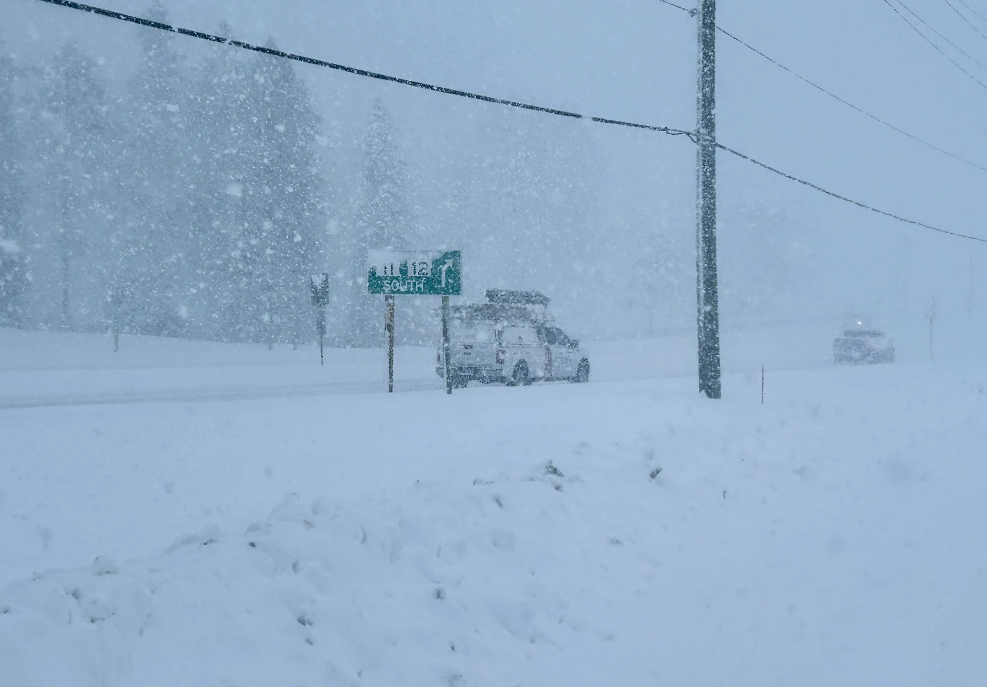
Snow squalls will continue off Lake Huron and Georgian Bay through Friday morning, impacting Highway 400 and Highway 11 from Barrie to Orillia, as well as Highways 21 and 26. Snow squall watches and warnings are in effect, with locally heavy accumulations up to 60 cm possible.

"Visibility will be suddenly reduced to near zero at times in heavy snow and blowing snow. Rapidly accumulating snow will make travel difficult," says Environment and Climate Change Canada (ECCC) in the warning. "Surfaces such as highways, roads, walkways and parking lots may become difficult to navigate due to accumulating snow. Road closures are possible."
Drivers are urged to consider postponing non-essential travel until conditions improve.

A wind change interrupts the squalls Friday morning, having them shift southwards, and giving a break in the squalls off Georgian Bay. That squall shift south to Lake Huron however, will bring more snow to areas along Highway 21.
More squalls develop once again Friday night and continue through Saturday, bringing another round of persistent snow to the same locations that were hit on Thursday.

Wind gusts will range from 40-50 km/h through Friday, and will pick up for Saturday with gusts upwards to 60 km/h.
It’s possible for flurries to reach the GTA at times as the squalls meander about. But accumulations here will be minimal compared to the knee-deep totals expected beneath the heaviest squalls.
The snow squalls are expected to finally come to an end on Sunday.

The Colorado/Texas Low that we have been watching for Sunday night and Monday will track too far south to bring any significant snow to the region, but this storm will have a major impact on travel across the U.S. Midwest, the mid-South and the mid-Atlantic states.
SEE ALSO: Rare frost flowers turn icy landscapes into beautiful gardens
Colder-than-normal temperatures are expected to dominate the first few weeks of the month, so it will certainly be feeling like winter once again.
Stay tuned to The Weather Network for more forecast updates across Ontario.